Comitatus Sarisiensis. [B IX a 2017]
| Reference code | B IX a 2017 |
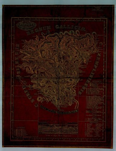
| Title | Comitatus Sarisiensis. |
| Main title | Sáros vármegye térképe 1850 körül. |
| Scale |
[M. 1:288 000.]
Normalized: 288000 |
| Technical features |
Kiadó:
Cassowiae. (Kassa-Kosice.) [185?] Caroli Werfel.
Szerzeményszám: 1155 34×45 cm. Hr. cs. Járási beosztás. Jelm. A térképen Eperjes (Prešov) város látképe. Ismeretlen mű III. Tab. Lapja.) |
| Source | Institute and Museum of Military History • B IX a 1401–2599 Magyarország megyetérképek • B IX Ausztria–Magyarország • B I–XV. Európa |
[2 images]
Content provider
ⓒ Copyright Info: Any publication of the present digital material requires permission from the content provider. To reach content provider directly, click on „Contact”.