General-Karte von Europa in 25 Blättern. [B I a 19]
| Reference code | B I a 19 |
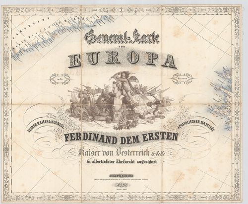
| Title | General-Karte von Europa in 25 Blättern. |
| Main title | 5 mt.: 1. Plan von London. (II/b szelv.) 2. Plan von Petersburg (V. szelv.) 3. Umgebung von Wien (VI. szelv.) 4. Plan von Neapel (XXI. szelv.) 5. Plan von München (XXII. szelv.) 6. Plan von Berlin (XXII. szelv.) A XXV/b. szelv.-en: Geognostische Karte des oesterreichischen Kaiserstaates mit einem grossen Theile Deutschland u. Italien. |
| Subject | Európa általános térképe 1845–47-ben 25 szelvényen. |
| Scale |
[M. 1:2 592 000.]
Normalized: 2592000 |
| Contributor | Készítő: SCHEDA, Joseph: |
| Technical features |
Kiadó:
Wien, 1845–1847. K. k. mil. geogr. Inst.
27 tl. + áttek., egyenkint 48,5×40 cm. Szín. Hr. árny. Statiszt. tábl. Hajóutak távolsági adataival. Jelm. Vv. Öh. 25 cm. |
| Source | Institute and Museum of Military History • B I a • B I Európa • B I–XV. Európa |
[28 images]
Content provider
ⓒ Copyright Info: Any publication of the present digital material requires permission from the content provider. To reach content provider directly, click on „Contact”.