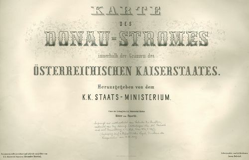
Karten der Donaustromes innerhalb der österr. Kaiserstaates. [B IX b 138]
| Reference code | B IX b 138 |
| Title | Karten der Donaustromes innerhalb der österr. Kaiserstaates. |
| Main title | A Duna Passautól Orsováig. |
| Scale |
M. 1:28 800.
Normalized: 28800 |
| Contributor | Készítő: [MÖRING, Alexander - DOLEZAL, Anton:] |
| Technical features |
Kiadó:
H. n. [1857] [Pasetti] ny. I. d. k. k. Hof. u. Staatsdruckerei
54 számozott szelvény, kiegészítő szelvényekkel, összesen 110 különböző méretű tl. + 4 áttekintő szelvényhálózat, kőnyomatos. Hr. árny. Megjelent: Deák A.-Jankó A.: Duna-mappáció. Vízrajzi és hajózási térképek a 19. sz. első feléből. DVD. Esztergm, 2009. |
| Source | Institute and Museum of Military History • B IX b • B IX Ausztria–Magyarország • B I–XV. Európa |
[111 images]
Content provider
ⓒ Copyright Info: Any publication of the present digital material requires permission from the content provider. To reach content provider directly, click on „Contact”.