General-Karte von der europäischen Türkei… [B III a 62]
| Reference code | B III a 62 |
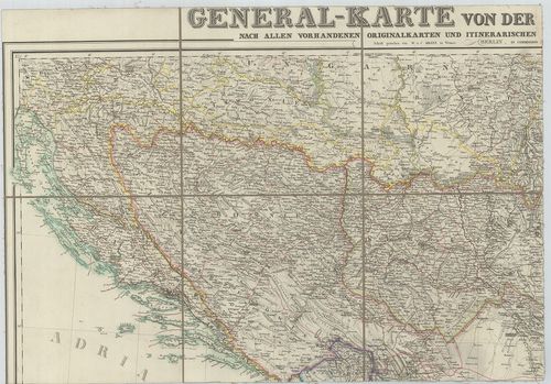
| Title | General-Karte von der europäischen Türkei… |
| Main title | 3 mt. 1. Das Wladikat zrnagora oder Montenegro. (Montenegró térképe.) |
| Subject | 2. Der befestigte südliche Theil der Dardanellen Strasse. (Dardanellák). |
| Scale |
M. 1:1 000 000.
Normalized: 1000000 |
| Contributor | Készítő: KIEPERT, Heinrich |
| Technical features |
Kiadó:
Berlin, 1853. Dietrich Reimer.
4 csatl. tl. 127×82 cm. Öh.: 22 cm. Szín. Hr. cs. |
| Content |
3. Constantinopel und der Bosporus. (Istanbul és a Boszporusz)
Az európai Török Birodalom általános térképe 1853-ban. |
| Source | Institute and Museum of Military History • B III a • B III Balkán-félsziget • B I–XV. Európa |
[4 images]
Content provider
ⓒ Copyright Info: Any publication of the present digital material requires permission from the content provider. To reach content provider directly, click on „Contact”.