Geographische Delineation des zu denen Kur Sächsischen Lande... [B IV a 146]
| Reference code | B IV a 146 |
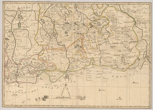
| Title | Geographische Delineation des zu denen Kur Sächsischen Landen gehörigen Marggraffthums Nieder Lausitz… |
| Main title | A szász tartomány általános térképe Alsó-Lausitz őrgrófság területével együtt 1757-ben. |
| Scale |
[M. 1:123 000.]
Normalized: 123000 |
| Contributor | Készítő: SCHENK, Petrus |
| Technical features |
Kiadó:
Amsterdam, 1757. Petrus Schenk.
4 csatl. tl. egyenként: 60×43 cm. Szín. Hr. vakondt. Rézm. Jelmagy. Vv. Öh.: 15 cm. |
| Source | Institute and Museum of Military History • B IV a • B IV Német birodalom • B I–XV. Európa |
[4 images]
Content provider
ⓒ Copyright Info: Any publication of the present digital material requires permission from the content provider. To reach content provider directly, click on „Contact”.