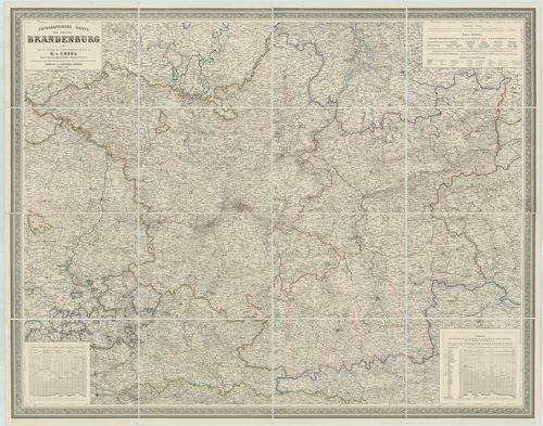
Topographische Karte der Provinz Brandenburg. [B IV a 170]
| Reference code | B IV a 170 |
| Title | Topographische Karte der Provinz Brandenburg. |
| Main title | Brandenburg tartomány térképe 1861-ben. |
| Scale |
M. 1:300 000.
Normalized: 300000 |
| Contributor | Készítő: COSEL, E. |
| Technical features |
Kiadó:
Berlin, 1861. Dietrich Reimer. Nyomda: Lith. Anst. v Leopold Kraatz.
111×86,5 cm. Szín. Hr. cs. Vv. |
| Source | Institute and Museum of Military History • B IV a • B IV Német birodalom • B I–XV. Európa |
Content provider
ⓒ Copyright Info: Any publication of the present digital material requires permission from the content provider. To reach content provider directly, click on „Contact”.