Topographische Charte des Regirung-Bezirks Düsseldorf. [B IV a 275]
| Reference code | B IV a 275 |
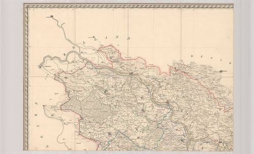
| Title | Topographische Charte des Regirung-Bezirks Düsseldorf. |
| Main title | A düsseldorfi kerület topográfiai térképe 1837-ben. |
| Scale |
M. 1:100 000.
Normalized: 100000 |
| Contributor | Készítő: WERNER, W. |
| Technical features |
Kiadó:
H. n. 1837. Crefeld, [Krefeld.] I. H. Funksche Buchlandlung.
6 csatl. tl. egyenként: 58×40 cm. Öh.: 21 cm. Szín. Vv. Jelmagy. |
| Source | Institute and Museum of Military History • B IV a • B IV Német birodalom • B I–XV. Európa |
[6 images]
Content provider
ⓒ Copyright Info: Any publication of the present digital material requires permission from the content provider. To reach content provider directly, click on „Contact”.