Topographischer Atlas des Koenigreiches Sachsen. [B IV a 594]
| Reference code | B IV a 594 |
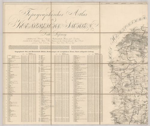
| Title | Topographischer Atlas des Koenigreiches Sachsen. |
| Main title | Szászország topográfiai atlasza 1835-ben. |
| Scale |
[M. 1:58 000.]
Normalized: 58000 |
| Contributor | Készítő: OBERREIT, [ ] |
| Technical features |
Kiadó:
Metsz.: Bach, Krille, Knoebel. Dresden, 1821–1835. K. n.
Weiland után átdolg. 21 csatl. tl. egyenként: 70×60 cm. Öh.: 23,5 cm. Szelv. hál., háromszög. hál., szöv. magy., helynévmutató. Hr. cs. Rézm. Vv. |
| Source | Institute and Museum of Military History • B IV a • B IV Német birodalom • B I–XV. Európa |
[21 images]
Content provider
ⓒ Copyright Info: Any publication of the present digital material requires permission from the content provider. To reach content provider directly, click on „Contact”.