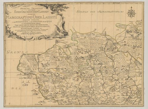
Geograph. Delineation des zu denen Kuhr Saechsischen Landen ... [B IV a 601]
| Reference code | B IV a 601 |
| Title | Geograph. Delineation des zu denen Kuhr Saechsischen Landen gehoerigen Marggrafthums Ober Lausitz… |
| Main title | Felső-Lausitz földrajzi térképe 1759-ben. |
| Scale |
[M. 1:120 000.]
Normalized: 120000 |
| Contributor | Készítő: SCHENK, Petrus |
| Technical features |
Kiadó:
Amsterdam, 1759. K. n.
4 csatl. tl. egyenként: 58×43 cm. Öh.: 17 cm. Szín. Hr. vakondt. Rézm. Címdísz.: növ. orn. Sarokr. Jelmagy. |
| Source | Institute and Museum of Military History • B IV a • B IV Német birodalom • B I–XV. Európa |
[4 images]
Content provider
ⓒ Copyright Info: Any publication of the present digital material requires permission from the content provider. To reach content provider directly, click on „Contact”.