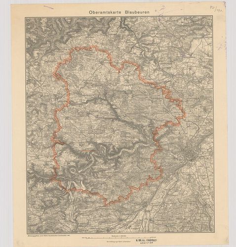
Oberamtskarte Blaubeuren. [B IV a 1000]
| Reference code | B IV a 1000 |
| Title | Oberamtskarte Blaubeuren. |
| Main title | Blaubeuren-kerület (Németo.) topográfiai térképe 1934-ben. |
| Scale |
M. 1:100 000.
Normalized: 100000 |
| Technical features |
Kiadó:
H. n. 1934. Württ. Statistischen Landesamt.
Szerzeményszám: 13295 31,5×36,5 cm. Szín. Hr. cs. |
| Source | Institute and Museum of Military History • B IV a • B IV Német birodalom • B I–XV. Európa |
Content provider
ⓒ Copyright Info: Any publication of the present digital material requires permission from the content provider. To reach content provider directly, click on „Contact”.