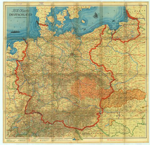
BZ-Karte Deutschland und Nachbar-Gebiete [B IV c 227]
| Reference code | B IV c 227 |
| Title | BZ-Karte Deutschland und Nachbar-Gebiete |
| Main title | 2 mt.: 1. Die wichtigsten Fernstrassen Europas. (Európa fontosabb távolsági úthálózati térkép.) 2. Szelvényhálózat. |
| Subject | Németország közlekedési térképe. |
| Scale |
M. 1:1 500 000.
Normalized: 1500000 |
| Technical features |
Kiadó:
Berlin, [1939] Der BZ am Mittag in Deutschen Verlag.
Szerzeményszám: 11593 83×67 cm. Öh.: 22 cm. Szín. Hr. árny. A hátoldalon betűr. névm. és szöv. magy. km-tábl. |
| Source | Institute and Museum of Military History • B IV c • B IV Német birodalom • B I–XV. Európa |
[2 images]
Content provider
ⓒ Copyright Info: Any publication of the present digital material requires permission from the content provider. To reach content provider directly, click on „Contact”.