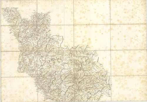
Carte des Alpes Francaises… [B V b 14]
| Reference code | B V b 14 |
| Title | Carte des Alpes Francaises… |
| Main title | A Francia Alpok térképe a 18. században (Felső Dauphiné és Nizza grófság területe). |
| Scale |
[M. 1:210 000.]
Normalized: 210000 |
| Contributor | Készítő: BOURCET, G. |
| Technical features |
Kiadó:
Metsz.: Baltard és Beaublé Fils. H. n. [17??] K. n.
2 csatl. tl. 81×112 cm. Öh.: 20 cm. Hr. vakondt. Sarokrajz: tájkép, vár stb. Fokh. n. Rézm. Vv. |
| Source | Institute and Museum of Military History • B V b • B V Franciaország • B I–XV. Európa |
[2 images]
Content provider
ⓒ Copyright Info: Any publication of the present digital material requires permission from the content provider. To reach content provider directly, click on „Contact”.