Carta topografica degli Stati di Parma. [B VII a 318]
| Reference code | B VII a 318 |
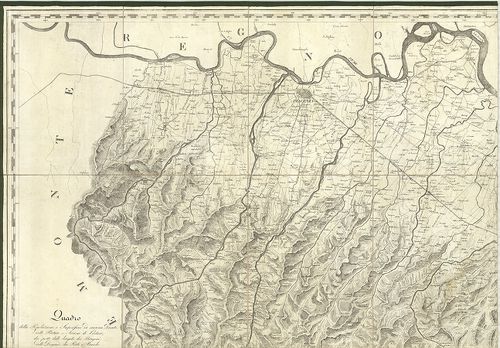
| Title | Carta topografica degli Stati di Parma. |
| Main title | Parma hercegség topográfiai térképe 1820–1823-ban. |
| Scale |
M. 1:75 000.
Normalized: 75000 |
| Contributor | Készítő: COCCONCELLI, Antonio |
| Technical features |
Kiadó:
Metsz.: Gulielmo Silvestri. H. n. 1820–1823. K. n. Ny.: F. Franzeri.
4 csatl. tl. egyenként: 86×59 cm. Öh.: 30,5 cm. Hr. cs. Közig. tábl. Vv. |
| Source | Institute and Museum of Military History • B VII a • B VII Olaszország • B I–XV. Európa |
[4 images]
Content provider
ⓒ Copyright Info: Any publication of the present digital material requires permission from the content provider. To reach content provider directly, click on „Contact”.