Mappa Geographico Limitanea in qua Imperiorum Caesarei et Ot... [B IX c 634]
| Reference code | B IX c 634 |
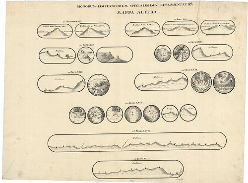
| Title | Mappa Geographico Limitanea in qua Imperiorum Caesarei et Ottomanici Confinia in almae pacis Carlovitzensis Congressu Decreta et a Duobus Utriusque Imperi Commissaris Intituta Solenni Expeditione… |
| Main title | A karlócai békekötésben meghatározott osztrák-török határvonal áttekintő térképe és felmérési szelvényei. |
| Scale |
[M. 1:37 500]
Normalized: 37500 |
| Contributor | Készítő: MARSIGLI, A. F. |
| Technical features |
Kiadó:
Norinbergae. (Nürnberg.) [1702.] Kn.
Szerzeményszám: 36785 Kézir. térk. szín. fm.. 39 tl., 2 határjelek rajzai, egyenként: 49×62 cm. |
| Source | Institute and Museum of Military History • B IX c • B IX Ausztria–Magyarország • B I–XV. Európa |
[43 images]
Content provider
ⓒ Copyright Info: Any publication of the present digital material requires permission from the content provider. To reach content provider directly, click on „Contact”.