Administrativ-Karte von den Königreichen Galizien und Lodome... [B IX a 386]
| Reference code | B IX a 386 |
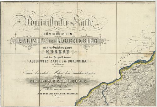
| Title | Administrativ-Karte von den Königreichen Galizien und Lodomerien mit dem Grossherzogthume Krakau und den Herzogthümern Auschwitz, Zator und Bukovina. |
| Main title | 3 mt. 1. Plan von Krakau. (Krakow várostérk.) 2. Plan von Lemberg. (Lvov várostérk.) 3. Plan von Czernowitz. (Csernovci várostérk.) |
| Subject | Galícia, Lodoméria (Volhínia), a Krakkói Nagyhercegség és a Bukovinai Hercegség topográfiai térképe 1855-ben. |
| Scale |
[M. 1:115 200.]
Normalized: 115200 |
| Contributor | Készítő: KUMMERSBERG, Carl |
| Technical features |
Kiadó:
Wien. 1855. Ny. Wernigk.
60 csatl. tl. egyenként: 49×32,5 cm. Öh. 17 cm. Szín. |
| Source | Institute and Museum of Military History • B IX a • B IX Ausztria–Magyarország • B I–XV. Európa |
[61 images]
Content provider
ⓒ Copyright Info: Any publication of the present digital material requires permission from the content provider. To reach content provider directly, click on „Contact”.