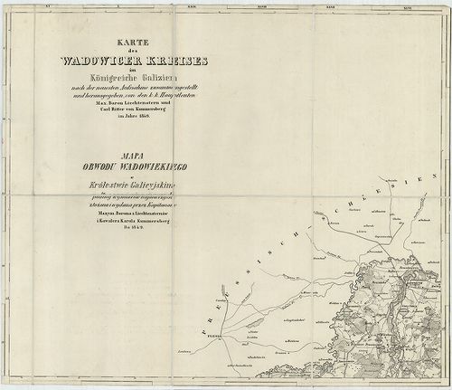
Karte des Wadowicer Kreises im Königreiche Galizien… – Mapa ... [B IX a 409]
| Reference code | B IX a 409 |
| Title | Karte des Wadowicer Kreises im Königreiche Galizien… – Mapa Obwodu Wadowiekiego w Królestwie Galicyjskim. |
| Main title | A Wadowicei kerület topográfiai térképe 1849-ben. |
| Scale |
[M. 1:115 200.]
Normalized: 115200 |
| Contributor | Készítő: LIECHTENSTERN, Max. [Joseph] |
| Technical features |
Kiadó:
H. n. 1849. Max. Joseph Liechtenstern – Carl Kummersberg.
6 csatl. tl. egyenként: 39×32,5 cm. Öh. 17 cm. Rézm. Jelm. német és lengyel nyelven. Vv. |
| Source | Institute and Museum of Military History • B IX a • B IX Ausztria–Magyarország • B I–XV. Európa |
[6 images]
Content provider
ⓒ Copyright Info: Any publication of the present digital material requires permission from the content provider. To reach content provider directly, click on „Contact”.