Planul municipiului Timişoara – (Borítócím). Harta municipiu... [G I h 672/19]
| Reference code | G I h 672/19 |
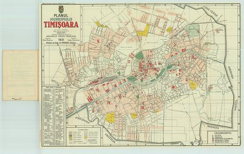
| Title | Planul municipiului Timişoara – (Borítócím). Harta municipiului Timişoara. |
| Main title | Temesvár térképe 1931-ben. |
| Scale |
[M. 1:14 000.]
Normalized: 14000 |
| Contributor | Készítő: LAOUS, Dion–DARABAS, Toma |
| Technical features |
Kiadó:
Timişoara, 1931. Conform Planului oficial al Serviciului Tehhic municipial. Ny.: Pregler.
Szerzeményszám: 11833 56×46 cm. Öh.: 17 cm. Szín. Jelmagy. Kerületi beosztás. Számr. magy. 30 p. utcajegyz. Címerd. |
| Source | Institute and Museum of Military History • G I h vár alaprajzok, város és környéktérképek, utikönyvek • G I Európa • G I–V. Úti térképek |
[16 images]
Content provider
ⓒ Copyright Info: Any publication of the present digital material requires permission from the content provider. To reach content provider directly, click on „Contact”.