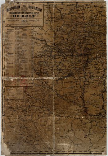
Magyar Birodalom iskolai faltérképe. Schulwandkarte des Unga... [B IX a 525/10]
| Reference code | B IX a 525/10 |
| Title | Magyar Birodalom iskolai faltérképe. Schulwandkarte des Ungarischen Reiches. |
| Main title | Mt. Dalmácia déli része. |
| Scale |
M. 1:600 000.
Normalized: 600000 |
| Contributor | Készítő: THÓT Antal |
| Technical features |
Kiadó:
Pest. 1871. Kugler Adolf. Ny. Laufer Ignatz. 2. jav. kiadás.
Szerzeményszám: 5974 162×114 cm. Szín. Hr. árny. Jelm. Pol. felosztás. Vv. |
| Source | Institute and Museum of Military History • B IX a • B IX Ausztria–Magyarország • B I–XV. Európa |
[2 images]
Content provider
ⓒ Copyright Info: Any publication of the present digital material requires permission from the content provider. To reach content provider directly, click on „Contact”.