Detail-Karte des Tátra Gebietes in 2 Blättern. [B IX a 671]
| Reference code | B IX a 671 |
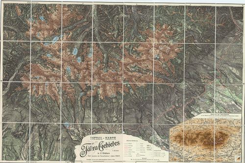
| Title | Detail-Karte des Tátra Gebietes in 2 Blättern. |
| Main title | Mt. Übersicht des Tátra-Gebietes… (A Magas-Tátra áttekintő térképe.) |
| Subject | A Magas-Tátra topográfiai térképe 1896–97-ben, a IV. katonai felmérés alapján. |
| Scale |
M. 1:25 000.
Normalized: 25000 |
| Technical features |
Kiadó:
Wien. 1896–97. K. u. K. Mil. geogr. Inst.
109×72 cm. Öh. 19 cm. Szín. Hr. cs. és szv. |
| Source | Institute and Museum of Military History • B IX a • B IX Ausztria–Magyarország • B I–XV. Európa |
Content provider
ⓒ Copyright Info: Any publication of the present digital material requires permission from the content provider. To reach content provider directly, click on „Contact”.