Geographische Charte des Neusoller Bezirks. [B IX a 1170]
| Reference code | B IX a 1170 |
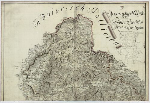
| Title | Geographische Charte des Neusoller Bezirks. |
| Main title | A Besztercebányai kerület földrajzi térképe az I. katonai felmérés alapján. |
| Scale |
[M. 1:192 000].
Normalized: 192000 |
| Contributor | Készítő: NEU, Andreas: |
| Technical features |
Kiadó:
H. n. [1786]. K. n.
Szerzeményszám: 72535 Kézir. térkép szín. fm. Jelm. 2 tl. egyenként: 63×91 cm + 2 tl. helyesbítések jegyzékével. Ep.: 171. |
| Source | Institute and Museum of Military History • B IX a • B IX Ausztria–Magyarország • B I–XV. Európa |
[2 images]
Content provider
ⓒ Copyright Info: Any publication of the present digital material requires permission from the content provider. To reach content provider directly, click on „Contact”.