Karte des Wallach-Illirischen und des deutchen Ansiedlungs-R... [B IX a 1212]
| Reference code | B IX a 1212 |
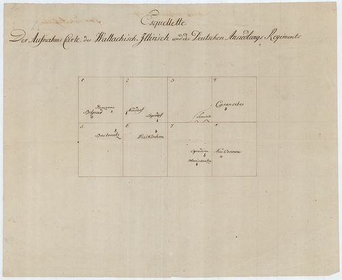
| Title | Karte des Wallach-Illirischen und des deutchen Ansiedlungs-Regiments. |
| Main title | Az Oláh-Illír és a és a Német Bánsági Határezredek topográfiai térképe az I. kat. felm. alapján. |
| Scale |
[M. 1:96 000.]
Normalized: 96000 |
| Contributor | Készítő: BELLAVICH: |
| Technical features |
Kiadó:
Hn. [1776]. Kn.
Szerzeményszám: 80185 8 szelv., egy. 57x88 cm, + áttekintő. Kézir. térkép. szín. m. Ep. 103. |
| Source | Institute and Museum of Military History • B IX a • B IX Ausztria–Magyarország • B I–XV. Európa |
[9 images]
Content provider
ⓒ Copyright Info: Any publication of the present digital material requires permission from the content provider. To reach content provider directly, click on „Contact”.