Übersichts Carte des Illyrisch Banater Grenz Bataillons. [B IX a 1270]
| Reference code | B IX a 1270 |
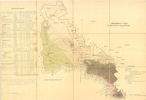
| Title | Übersichts Carte des Illyrisch Banater Grenz Bataillons. |
| Main title | Az Illír-Bánsági 14. határezred áttekintő térképe. |
| Scale |
[M. 1:115 200.]
Normalized: 115200 |
| Contributor | Készítő: KERMENICH, Valentin: |
| Technical features |
Kiadó:
Hn. [1838]. Kn.
Szerzeményszám: 81183 Rajz. Otto Ramp. Kézir. térkép szín. más. 94x64,5 cm. Ep. 126. |
| Source | Institute and Museum of Military History • B IX a • B IX Ausztria–Magyarország • B I–XV. Európa |
Content provider
ⓒ Copyright Info: Any publication of the present digital material requires permission from the content provider. To reach content provider directly, click on „Contact”.