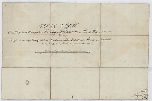
Ideal Karte eines Theils deren Königreichen Servien und Bosn... [TK 308]
| Type | Topográfiai térkép. |
| Size | 50,5 x 33; 34 x 51; 11 x 51; 11 x 50,5 cm |
| Reference code | TK 308 |
| Title | Ideal Karte eines Theils deren Königreichen Servien und Bosnien von Timok Fluss bis an den Flus Unna |
| Scale |
[1:206 800] 36 mm = 1 theut. Meile
Normalized: 206800 |
| Date |
Normalizált:
1760
Keletkezés éve: [ca. 1760] |
| Contributor | Szerző: Turaty-Held |
| Technical features | 1 térk., 14 szelv., ms., kézi szín. |
| Content | Szerbia és Bosznia. Domborzat csíkozással, részben névvel. Települések nagyság szerint jellel, névvel. Fokhálózat nélkül. Keret nélkül. Proven.: Radetczky |
| Source | National Széchényi Library • OSZK kéziratos térképek |
[14 images]
Content provider
ⓒ Copyright Info: Any publication of the present digital material requires permission from the content provider. To reach content provider directly, click on „Contact”.