101. Carte de la Savoie. [B V a 169]
Institute and Museum of Military History •
B V a
•
B V Franciaország
•
B I–XV. Európa
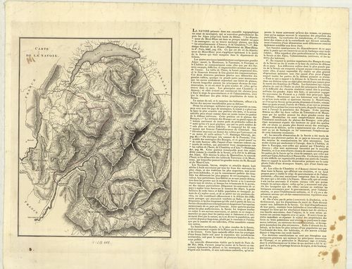
| Title | Carte de la Savoie. |
| Main title | A Savoie hercegség térképe 1814 körül. |
102. Plan der Gegend um Bar sur Aube. [B V a 174]
Institute and Museum of Military History •
B V a
•
B V Franciaország
•
B I–XV. Európa
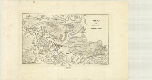
| Title | Plan der Gegend um Bar sur Aube. |
| Main title | Franciaország: A Bar sur Aube vidékének térképe az 1800-as években. |
103. Karte der Gegenden von Soissons, Craone, Laon und Rheims. [B V a 178]
Institute and Museum of Military History •
B V a
•
B V Franciaország
•
B I–XV. Európa
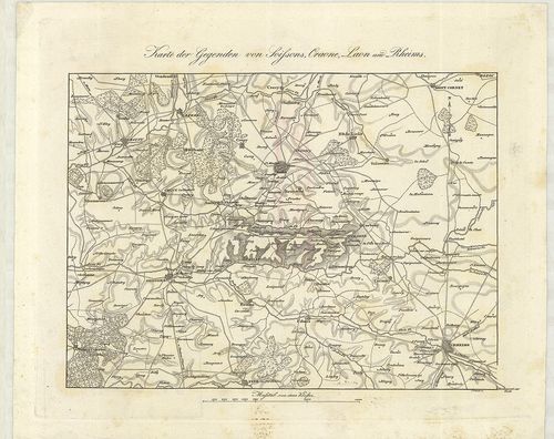
| Title | Karte der Gegenden von Soissons, Craone, Laon und Rheims. |
| Main title | Franciaország: Soissons, Craone, Laon és Reims vidék térképe az 1800-as években. |
104. Pont á Mousson, Nancy, Luneville. St. Dié. Ravensteins Krieg... [B V a 178/3]
Institute and Museum of Military History •
B V a
•
B V Franciaország
•
B I–XV. Európa
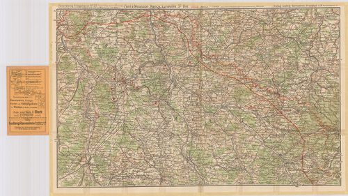
| Title | Pont á Mousson, Nancy, Luneville. St. Dié. Ravensteins Kriegskarte No. 37. |
| Main title | Franciaország: Pont á Mousson, Nancy, Luneville terület térképe az első világháború frontvonal megjelölésével. |
105. Frankreich. – France. – La France. – Francia. Flemmings Gene... [B V a 178/4]
Institute and Museum of Military History •
B V a
•
B V Franciaország
•
B I–XV. Európa
| Title | Frankreich. – France. – La France. – Francia. Flemmings Generalkarten Nr. 12. |
| Main title | 2 mt.: 1. Paris und Umgebung. (Párizs és környéke.) 2. Paris, |
| Subject | Franciaország térképe. |
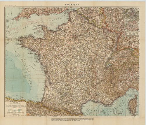
106. Frankreich. [B V a 181]
Institute and Museum of Military History •
B V a
•
B V Franciaország
•
B I–XV. Európa
| Title | Frankreich. |
| Main title | 2 mt.: 1. Frankreich nach seiner ehemaligen Eintheilung in Gouvernements mit den landschaftlichen Names u. den historisch wichtigen Orten. (Franciaország térképe közigazgatási kerületi beosztással és a történelmi helyek megnevezésével.) 2. Umgegend von Paris. (Párizs és környéke.) |
| Subject | Franciaország térképe úthálózattal 1858-ban. |
107. Nouvelle Carte Administrative de la France. [B V a 182]
Institute and Museum of Military History •
B V a
•
B V Franciaország
•
B I–XV. Európa
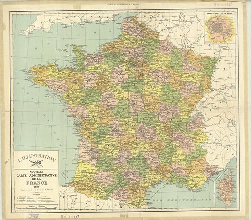
| Title | Nouvelle Carte Administrative de la France. |
| Main title | Mt.: Département de la Seine. (Szajna kerület térképe. Párizs és környéke.) |
| Subject | Franciaország (Belg.–Lux.–NSZK–Sv.–Ol.) közigazgatási térképe 1927-ben. |
108. France. [B V a 183]
Institute and Museum of Military History •
B V a
•
B V Franciaország
•
B I–XV. Európa
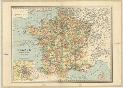
| Title | France. |
| Main title | Mt.: Environs de Paris. (Párizs és környéke.) |
| Subject | Franciaország (Belg.–Lux.–NSZK–Sv.–Ol.) általános térképe 1926-ban megyei felosztással, úthálózattal. |
109. A Francia háború térképe. [B V a 185]
Institute and Museum of Military History •
B V a
•
B V Franciaország
•
B I–XV. Európa

| Title | A Francia háború térképe. |
| Main title | Mt.: Páris környéke. |
110. Bródy-féle Francziaország és Belgium háborús térképe. [B V a 186]
Institute and Museum of Military History •
B V a
•
B V Franciaország
•
B I–XV. Európa
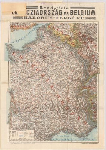
| Title | Bródy-féle Francziaország és Belgium háborús térképe. |
111. I. Karte von Frankreich und seine Grenzen gegen Deutschland.... [B V a 187]
Institute and Museum of Military History •
B V a
•
B V Franciaország
•
B I–XV. Európa
| Title | I. Karte von Frankreich und seine Grenzen gegen Deutschland. – Frankreich. 2 térk. lap. |
| Main title | 2 mt.: 1. Corsica. |
| Subject | 2. Paris und Umgebung. (Párizs és környéke.) |
112. Frankreich Belgien Niederlande. [B V a 189]
Institute and Museum of Military History •
B V a
•
B V Franciaország
•
B I–XV. Európa
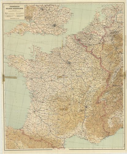
| Title | Frankreich Belgien Niederlande. |
| Main title | Franciaország, Belgium és Hollandia térképe 1944-ben úthálózattal. |
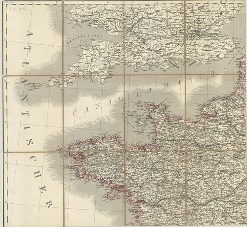
113. [Észak Franciaország és Belgium. Calais–Bruges–Páris–Chálons... [B V a 190]
Institute and Museum of Military History •
B V a
•
B V Franciaország
•
B I–XV. Európa
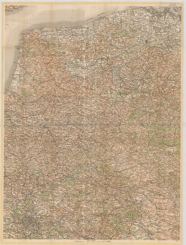
| Title | [Észak Franciaország és Belgium. Calais–Bruges–Páris–Chálons zur Marne közötti terület kivágata.] |
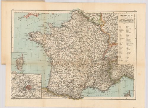
114. Karte von Frankreich. – Carl Flemmings Generalkarten. No. 28... [B V a 192]
Institute and Museum of Military History •
B V a
•
B V Franciaország
•
B I–XV. Európa
| Title | Karte von Frankreich. – Carl Flemmings Generalkarten. No. 28. |
| Main title | Franciaország térképe 1910 körül. |
115. Reymann’s Special Karte vom Deutsch-Französischen Kriegsscha... [B V a 195]
Institute and Museum of Military History •
B V a
•
B V Franciaország
•
B I–XV. Európa
| Title | Reymann’s Special Karte vom Deutsch-Französischen Kriegsschauplatze. |
| Main title | Franciaország topográfiai térképe 1870 körül. [Neuchateau–Luneville–Langres–Remiremont kivágat.] |
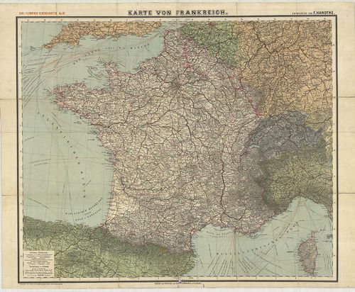
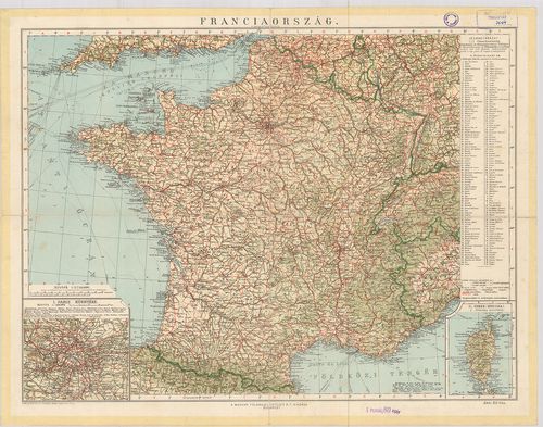
116. Franciaország. [B V a 197]
Institute and Museum of Military History •
B V a
•
B V Franciaország
•
B I–XV. Európa
| Title | Franciaország. |
| Main title | 2 mt.: 1. Páris környéke. |
| Subject | 2. Corsica. |
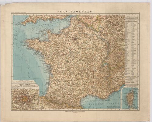
117. Franciaország. [B V a 198]
Institute and Museum of Military History •
B V a
•
B V Franciaország
•
B I–XV. Európa
| Title | Franciaország. |
| Main title | 2 mt.: 1. Páris környéke. |
| Subject | 2. Corsica. |
118. Carte de la France. [B V a 202]
Institute and Museum of Military History •
B V a
•
B V Franciaország
•
B I–XV. Európa
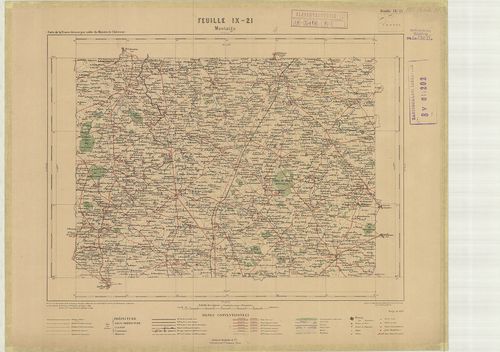
| Title | Carte de la France. |
| Main title | Franciaország 1:100 000 ma. sorozatának néhány lapja. |
119. Carte de France et des Frontiéres. [B V a 203]
Institute and Museum of Military History •
B V a
•
B V Franciaország
•
B I–XV. Európa
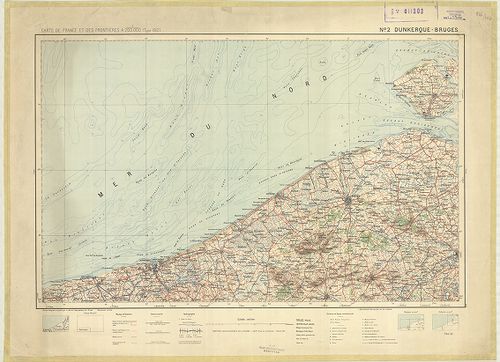
| Title | Carte de France et des Frontiéres. |
| Main title | Franciaország 1:200 000 ma. sorozatának néhány lapja. |
120. Carte de France … [B V a 204]
Institute and Museum of Military History •
B V a
•
B V Franciaország
•
B I–XV. Európa
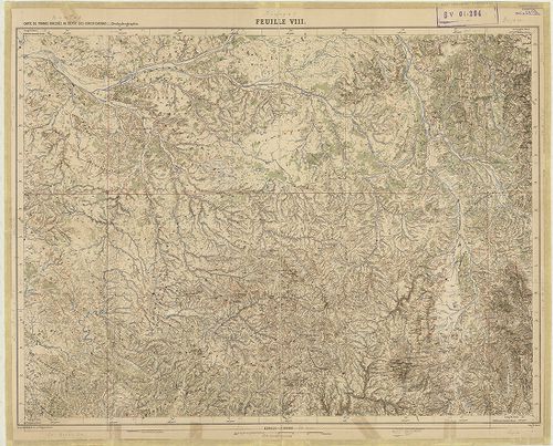
| Title | Carte de France … |
| Main title | Franciaország 1:500 000 ma. sorozatának néhány lapja. |