381. Situation des Grossfelder Meierhofes [TK 587]
National Széchényi Library •
OSZK kéziratos térképek
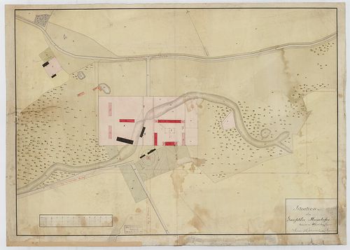
| Title | Situation des Grossfelder Meierhofes |
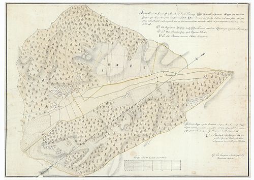
382. Umgebung des Schwarzen Meeres [TK 562]
National Széchényi Library •
OSZK kéziratos térképek
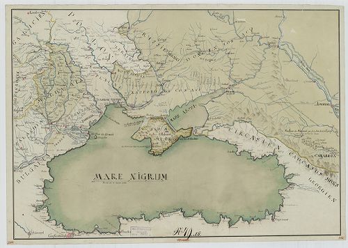
| Title | Umgebung des Schwarzen Meeres |
383. Karte des Deutschen Reiches. [B IV a 1041]
Institute and Museum of Military History •
B IV a
•
B IV Német birodalom
•
B I–XV. Európa
| Title | Karte des Deutschen Reiches. |
384. Plan des Toronyer Morastes [TK 735]
National Széchényi Library •
OSZK kéziratos térképek

| Title | Plan des Toronyer Morastes |
385. Relief Panorama des Rheines. [B IV b 117/3]
Institute and Museum of Military History •
B IV b
•
B IV Német birodalom
•
B I–XV. Európa
| Title | Relief Panorama des Rheines. |
386. Uibersichts-Karte des Küstenlandes [TK 337]
National Széchényi Library •
OSZK kéziratos térképek
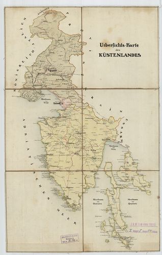
| Title | Uibersichts-Karte des Küstenlandes |
387. Karte des Deutschen Reich. [B IV a 61]
Institute and Museum of Military History •
B IV a
•
B IV Német birodalom
•
B I–XV. Európa
| Title | Karte des Deutschen Reich. |
388. Mappe des Hotters Márof [TK 861]
National Széchényi Library •
OSZK kéziratos térképek

| Title | Mappe des Hotters Márof |
389. Das Hochwildgebieth des Leithawaldes [TK 241]
National Széchényi Library •
OSZK kéziratos térképek
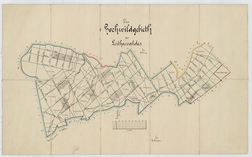
| Title | Das Hochwildgebieth des Leithawaldes |
390. Plan des Ugotscher Comitats [TK 27]
National Széchényi Library •
OSZK kéziratos térképek
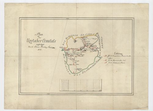
| Title | Plan des Ugotscher Comitats |
391. Mappe des Hotters Žabnik [TK 1018]
National Széchényi Library •
OSZK kéziratos térképek

| Title | Mappe des Hotters Žabnik |
392. Plan des Kirchfidischer Hotters [TK 1571]
National Széchényi Library •
OSZK kéziratos térképek

| Title | Plan des Kirchfidischer Hotters |
393. Karte des Kreises Oberbarnim. [B IV c 241]
Institute and Museum of Military History •
B IV c
•
B IV Német birodalom
•
B I–XV. Európa
| Title | Karte des Kreises Oberbarnim. |
394. Strassenkarte des Kreutzer Comitats [TK 1191]
National Széchényi Library •
OSZK kéziratos térképek

| Title | Strassenkarte des Kreutzer Comitats |
395. Mappe des Hotters Brezovec [TK 1027]
National Széchényi Library •
OSZK kéziratos térképek
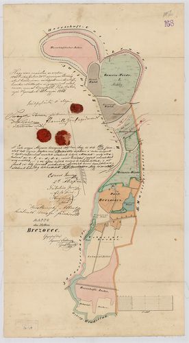
| Title | Mappe des Hotters Brezovec |
396. Mappe des Hotters Pribislavec [TK 1366]
National Széchényi Library •
OSZK kéziratos térképek

| Title | Mappe des Hotters Pribislavec |
397. Prospect des praedii Enyed [TK 130]
National Széchényi Library •
OSZK kéziratos térképek
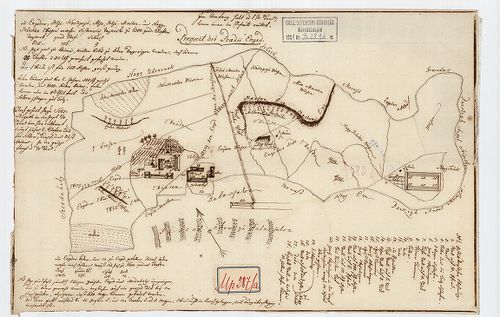
| Title | Prospect des praedii Enyed |
398. Mappe des Hotters Verhovlan [TK 1017]
National Széchényi Library •
OSZK kéziratos térképek

| Title | Mappe des Hotters Verhovlan |
399. Situations Plan des Kis Nyárád Bachs, des Szent Imreh-er Bac... [S 105 - No. 196/1.]
National Archives of Hungary •
S 105 Erdélyi kormányhatósági levéltárból kiemelt térképek (1798-1868)
•
S Kormányhatósági fondokból kiemelt térképek (17. sz.-20. sz.)
•
S – Térképtár
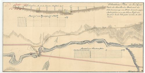
| Main title | Situations Plan des Kis Nyárád Bachs, des Szent Imreh-er Bachs, und des Salzstrassenzugs von Bere hinunter gegen Andrásfalva, so wie das Niveau Profil vom Bachbett bei der Uiberfahrt zwischen die Salzbrunen |
| Subject | No. 196/1. Kis-Nyárád, Szent Imre-patak, és s Bere (Maros-Torda m., ma RO) és Nyárádandrásfalva (Maros-Torda m., ma Nyárádszereda része, Miercurea Nirajului, RO) közötti sóút |
400. Cím nélkül. /Börzsöny puszta birtokeloszlása./ [TMOL XV 3 T. 33]
Tolna County Archives •
Tolna megye kéziratos térképei
| Main title | Cím nélkül. /Börzsöny puszta birtokeloszlása./ |
| Subject | Bonyhád, Tolna megye |
Contributor: Herbach obristmeister des grossen General Stabes und Obering des DistrictJos Szkitzky jur geom