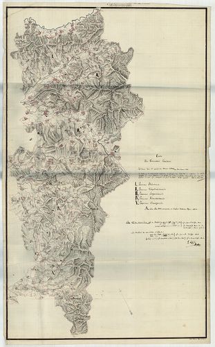
721. Situation zur Anlage des F. MartinsLenk-ischen Ziegelschlage... [Sv T 48]
Győr-Moson-Sopron County Sopron Archives •
Sopron megye kéziratos térképei
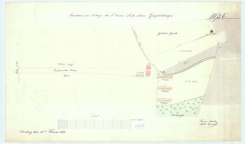
| Main title | Situation zur Anlage des F. MartinsLenk-ischen Ziegelschlages |
| Subject | Sopron |
722. Carte des Temescher Comitats [S 103 - No. 7/127.]
National Archives of Hungary •
S 103 Khuen-Héderváry család (18. sz.-19. sz.)
•
S Családi fondokból kiemelt térképek (17. sz.-20. sz.)
•
S – Térképtár
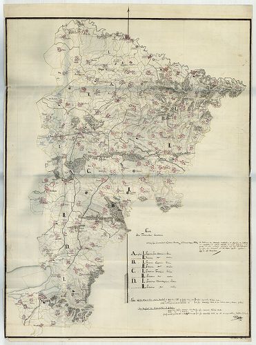
| Main title | Carte des Temescher Comitats |
| Subject | No. 7/127. Temes megye |
723. Carte des Torontaler Comitat [S 103 - No. 7/136.]
National Archives of Hungary •
S 103 Khuen-Héderváry család (18. sz.-19. sz.)
•
S Családi fondokból kiemelt térképek (17. sz.-20. sz.)
•
S – Térképtár
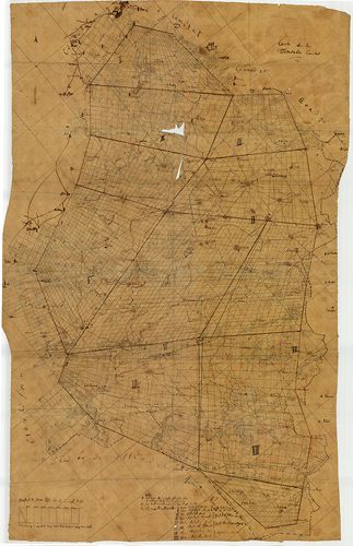
| Main title | Carte des Torontaler Comitat |
| Subject | No. 7/136. Torontál megye |
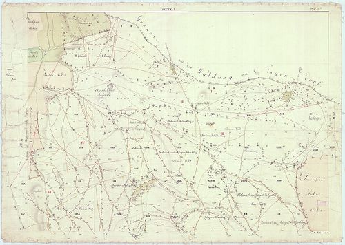
724. Inundations Karte des Comitates Ung [S 101 - No. 631.]
National Archives of Hungary •
S 101 Abszolutizmuskori térképek (1849-1867)
•
S Kormányhatósági fondokból kiemelt térképek (17. sz.-20. sz.)
•
S – Térképtár

| Main title | Inundations Karte des Comitates Ung |
| Subject | No. 631. Ung megye |
725. Bestands lage des zur Oedenburg gehoerigen Dudles Waldes [Sv T 90]
Győr-Moson-Sopron County Sopron Archives •
Sopron megye kéziratos térképei
| Main title | Bestands lage des zur Oedenburg gehoerigen Dudles Waldes |
| Subject | Sopron |
726. Übersichtskarte des Balkan-Kriegsschauplatzes. [B III c 33/b]
Institute and Museum of Military History •
B III c
•
B III Balkán-félsziget
•
B I–XV. Európa
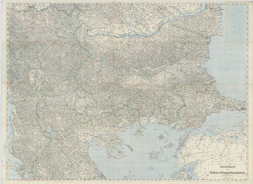
| Title | Übersichtskarte des Balkan-Kriegsschauplatzes. |
| Main title | A Balkán-félsziget hadszíntereinek áttekintő térképe. |
727. Übersichtskarte des südlichen Kriegsschauplatzes. [B III c 66/3]
Institute and Museum of Military History •
B III c
•
B III Balkán-félsziget
•
B I–XV. Európa
| Title | Übersichtskarte des südlichen Kriegsschauplatzes. |
| Main title | Áttekintőtérkép az I. világháború déli hadszíntereiről. |
728. General-Karte des Königreiches Böhmen. [B IX a 87]
Institute and Museum of Military History •
B IX a
•
B IX Ausztria–Magyarország
•
B I–XV. Európa
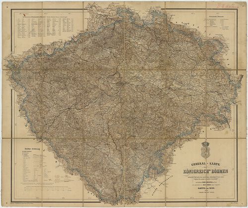
| Title | General-Karte des Königreiches Böhmen. |
| Main title | Csehország térképe 1862-ben vasúthálózattal. |
729. Ethnographische Karte des Königreichs Ungarn. [B IX c 118/1]
Institute and Museum of Military History •
B IX c
•
B IX Ausztria–Magyarország
•
B I–XV. Európa
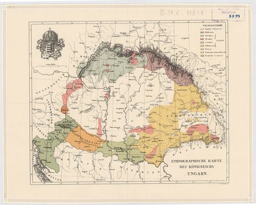
| Title | Ethnographische Karte des Königreichs Ungarn. |
| Main title | Magyarország néprajzi térképe 1846 körül. |
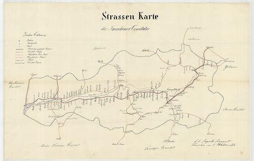
730. Strassen Karte des Comorner Comitates [S 101 - No. 164.]
National Archives of Hungary •
S 101 Abszolutizmuskori térképek (1849-1867)
•
S Kormányhatósági fondokból kiemelt térképek (17. sz.-20. sz.)
•
S – Térképtár
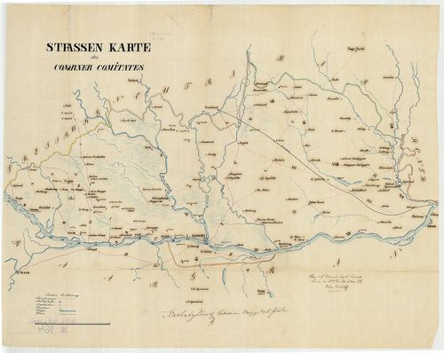
| Main title | Strassen Karte des Comorner Comitates |
| Subject | No. 164. Komárom megye |
731. Carte des Krassover Comitats [S 103 - No. 7/187.]
National Archives of Hungary •
S 103 Khuen-Héderváry család (18. sz.-19. sz.)
•
S Családi fondokból kiemelt térképek (17. sz.-20. sz.)
•
S – Térképtár
| Main title | Carte des Krassover Comitats |
| Subject | No. 7/187. Krassó megye |
732. General-Karte der Markgrafschaft Maehren mit den Antheilen d... [B IX a 139]
Institute and Museum of Military History •
B IX a
•
B IX Ausztria–Magyarország
•
B I–XV. Európa
| Title | General-Karte der Markgrafschaft Maehren mit den Antheilen des Herzogthums Schlesien. |
733. General-Karte der Markgrafschaft Mahren mit den Antheilen de... [B IX a 139]
Institute and Museum of Military History •
B IX a
•
B IX Ausztria–Magyarország
•
B I–XV. Európa
| Title | General-Karte der Markgrafschaft Mahren mit den Antheilen des Herzogthums Schlesien… |
734. General-Karte der Markgrafschaft Máhren mit den Antheilen de... [B IX a 139]
Institute and Museum of Military History •
B IX a
•
B IX Ausztria–Magyarország
•
B I–XV. Európa
| Title | General-Karte der Markgrafschaft Máhren mit den Antheilen des Herzogthums Schlesien… |
735. Plan des Zarhalm-, Wolfser- und Kolnhofer Wald [Sv T 204]
Győr-Moson-Sopron County Sopron Archives •
Sopron megye kéziratos térképei
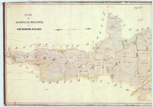
| Main title | Plan des Zarhalm-, Wolfser- und Kolnhofer Wald |
| Subject | Sopron környéke |
736. Hypsometrische Übersichts-Karte des Herzogthumes Steiermark… [B IX b 30]
Institute and Museum of Military History •
B IX b
•
B IX Ausztria–Magyarország
•
B I–XV. Európa
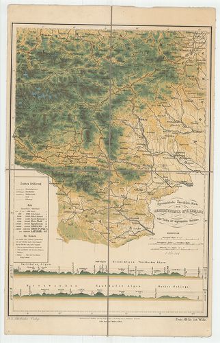
| Title | Hypsometrische Übersichts-Karte des Herzogthumes Steiermark… |
| Main title | Stájerország hipszometrikus áttekintő térképe. |
737. Special Karte der Markgrafschaft Maehren mit den Antheilen d... [B IX a 145]
Institute and Museum of Military History •
B IX a
•
B IX Ausztria–Magyarország
•
B I–XV. Európa
| Title | Special Karte der Markgrafschaft Maehren mit den Antheilen des Herzogthums Schlesien. |
738. Karte des Markgrafthum Mähren. [B IX a 150]
Institute and Museum of Military History •
B IX a
•
B IX Ausztria–Magyarország
•
B I–XV. Európa
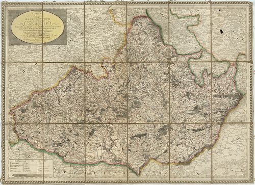
| Title | Karte des Markgrafthum Mähren. |
| Main title | A Morva Őrgrófság térképe 1804-ben. |
739. Strassen Karte des Trenschiner Comitates [S 101 - No. 124.]
National Archives of Hungary •
S 101 Abszolutizmuskori térképek (1849-1867)
•
S Kormányhatósági fondokból kiemelt térképek (17. sz.-20. sz.)
•
S – Térképtár
| Main title | Strassen Karte des Trenschiner Comitates |
| Subject | No. 124. Trencsén megye |
740. Copia des Apponyschen Herrschaft Hőgyészer Thiergartens [TMOL XV 3 T. 61]
Tolna County Archives •
Tolna megye kéziratos térképei
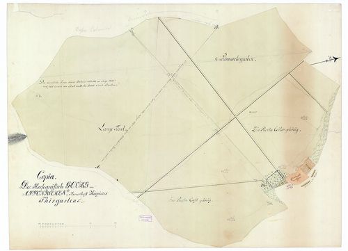
| Main title | Copia des Apponyschen Herrschaft Hőgyészer Thiergartens |
| Subject | Hőgyész, Tolna megye |