1401. Das Königreich Würtemberg das Grossherzogthum Baden und die ... [B IV a 654/1]
Institute and Museum of Military History •
B IV a
•
B IV Német birodalom
•
B I–XV. Európa
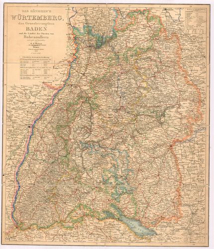
| Title | Das Königreich Würtemberg das Grossherzogthum Baden und die Länder der Fürsten von Hohenzollern. |
| Main title | Württemberg királyság, Baden nagyhercegség, Hohenzollern hercegség térképe 1847-ben. |
1402. [A Württemberg-i Királyság általános térképe.] [B IV a 655]
Institute and Museum of Military History •
B IV a
•
B IV Német birodalom
•
B I–XV. Európa
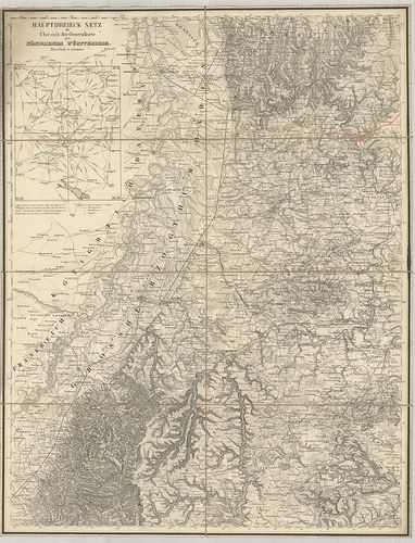
| Title | [A Württemberg-i Királyság általános térképe.] |
| Main title | Mt.: Hauptdreieck netz als übersicht der Generalkarte des Königreichs Württemberg. (Háromszögelési hálózat) |
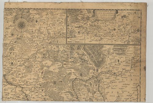
1403. Suevia Universa IX. Tabulis Delineata, in quibus Omnium, non... [B IV a 658]
Institute and Museum of Military History •
B IV a
•
B IV Német birodalom
•
B I–XV. Európa
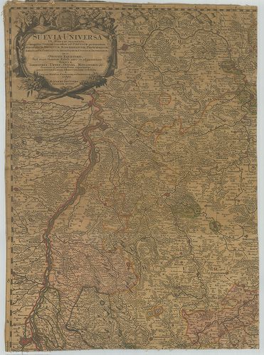
| Title | Suevia Universa IX. Tabulis Delineata, in quibus Omnium, non solum ad Circulum pertinentium Episcopatuum, Ducatuum, Marchionatuum, Principatuum… |
| Main title | A Svábföld térképe püspökségek, hercegségek, grófságok kerületi megjelölésével. |
1404. Topographische Charte von Schwaben. [B IV a 661]
Institute and Museum of Military History •
B IV a
•
B IV Német birodalom
•
B I–XV. Európa
| Title | Topographische Charte von Schwaben. |
| Main title | A Svábföld topográfiai térképe. |
1405. Charte vom Königreiche Württemberg. [B IV a 663]
Institute and Museum of Military History •
B IV a
•
B IV Német birodalom
•
B I–XV. Európa
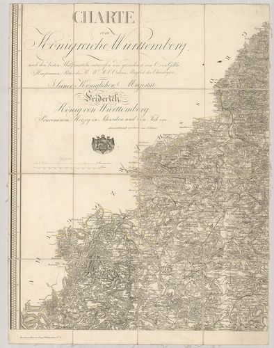
| Title | Charte vom Königreiche Württemberg. |
| Main title | A Württemberg-i Királyság térképe. |
1406. Topographisch-militairischer Atlas von dem Koenigreiche Würt... [B IV a 663/1]
Institute and Museum of Military History •
B IV a
•
B IV Német birodalom
•
B I–XV. Európa
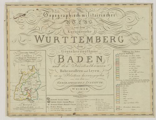
| Title | Topographisch-militairischer Atlas von dem Koenigreiche Württemberg dem Grossherzogthume Baden und den Fürstenthümern Hohenzollern und Leyen. |
| Main title | A Württemberg-i Királyság, Badeni nagyhercegség, Hohenzollern- és Leyen hercegségek térképe 1813-ben. |
1407. Topographischer Atlas des Koenigreichs Württemberg. [B IV a 664]
Institute and Museum of Military History •
B IV a
•
B IV Német birodalom
•
B I–XV. Európa
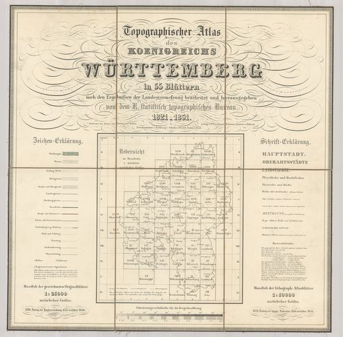
| Title | Topographischer Atlas des Koenigreichs Württemberg. |
| Main title | A Württemberg-i Királyság topográfiai térképe 1851-ben. |
1408. Provincia Landvogtiae Superioris et Inferioris Sueviae ipsam... [B IV a 665/2]
Institute and Museum of Military History •
B IV a
•
B IV Német birodalom
•
B I–XV. Európa
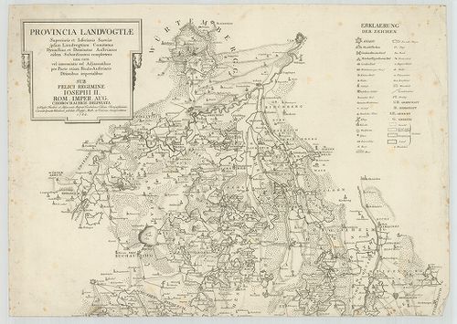
| Title | Provincia Landvogtiae Superioris et Inferioris Sueviae ipsam Landvogtiam Comitatus Dynastias et Dominatus Austriacos eidem Subordinatos Complectens una cum… |
| Main title | A Svábföld térképe 1782-ben. |
1409. Serenissimis Principibvs ac Dominis ab Hohenloh, Dynastis in... [B IV a 667]
Institute and Museum of Military History •
B IV a
•
B IV Német birodalom
•
B I–XV. Európa
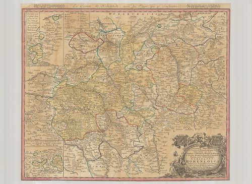
| Title | Serenissimis Principibvs ac Dominis ab Hohenloh, Dynastis in Langenburg, nec non Celsissimis Comitatibvs ac Dominis ab Hohenloh et Gleichen, Dynastis in Langenb. et Cranchfeld etc. Dominis meis Clementissimis, Comitatus Hohenloici… |
| Main title | 2 mt.: 1. Die in der Landgrafschaft Thüringen liegende und dem Hochgraefl. Haus Hohenloh–Neuenstein gehörige obere Grafschaft Gleichen. (Gleichen grófság térképe.) 2. Die in Nieder Elsass liegende Hochfürtlich. Hohenloh-Bartensteinische und Hochgraefl. Leiningische gemeinschaftliche Aempter Ober- und Nieder Brunn. (Alsó-Felső Brunn térképe.) |
| Subject | Hohenlohe grófság térképe 1748-ban. |
1410. Nova et accurata Territorii Vlmensis cum Dominio Wainensi … [B IV a 682]
Institute and Museum of Military History •
B IV a
•
B IV Német birodalom
•
B I–XV. Európa
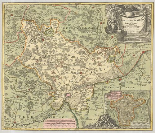
| Title | Nova et accurata Territorii Vlmensis cum Dominio Wainensi … |
| Main title | Mt.: Grund und Abriss der Ulmischen Herrschafft zu Wain. (Wain város és környéke.)Ulm és környékének térképe. |
1411. Gross Herzogthum Baden. [B IV a 684]
Institute and Museum of Military History •
B IV a
•
B IV Német birodalom
•
B I–XV. Európa

| Title | Gross Herzogthum Baden. |
| Main title | A Baden-i Nagyhercegség térképe 1846-ban. |
1412. Charte über das Grossherzogthum Baden. [B IV a 685]
Institute and Museum of Military History •
B IV a
•
B IV Német birodalom
•
B I–XV. Európa
| Title | Charte über das Grossherzogthum Baden. |
| Main title | A Baden-i Nagyhercegség térképe 1814-ben. |
1413. Karte von dem Grossherzogthum Baden. [B IV a 687]
Institute and Museum of Military History •
B IV a
•
B IV Német birodalom
•
B I–XV. Európa
| Title | Karte von dem Grossherzogthum Baden. |
| Main title | A Baden-i Nagyhercegség térképe 1843-ban. |
1414. Uebersichts-Karte von dem Grossherzogthum Baden nebst Theile... [B IV a 688]
Institute and Museum of Military History •
B IV a
•
B IV Német birodalom
•
B I–XV. Európa
| Title | Uebersichts-Karte von dem Grossherzogthum Baden nebst Theilen der angrenzenden Laender. |
| Main title | A Baden-i Nagyhercegség áttekintő térképe 1861-ben. |
1415. Karte von dem Grossherzogthum Baden. [B IV a 689/1]
Institute and Museum of Military History •
B IV a
•
B IV Német birodalom
•
B I–XV. Európa
| Title | Karte von dem Grossherzogthum Baden. |
| Main title | A Baden-i Nagyhercegség térképe. |
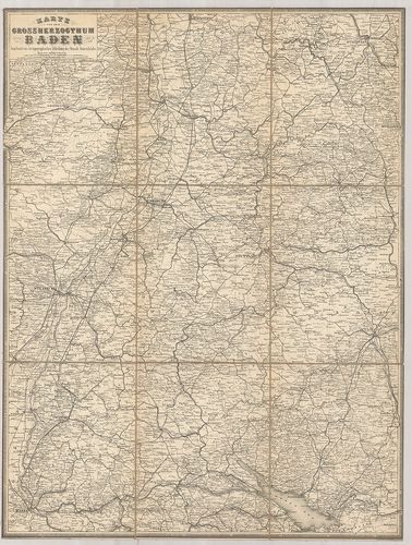
1416. Topographischer Atlas ueber das Grossherzogthum Baden. [B IV a 691]
Institute and Museum of Military History •
B IV a
•
B IV Német birodalom
•
B I–XV. Európa
| Title | Topographischer Atlas ueber das Grossherzogthum Baden. |
| Main title | A Baden-i Nagyhercegség topográfiai térképe. |
1417. Archiepiscopatus et Electoratus Moguntini una cum adjecentib... [B IV a 741]
Institute and Museum of Military History •
B IV a
•
B IV Német birodalom
•
B I–XV. Európa
| Title | Archiepiscopatus et Electoratus Moguntini una cum adjecentibus repraesentatio… |
| Main title | A Mainz-i választófejedelemség és püspökség térképe. |
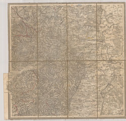
1418. Neueste Karte vom Kurfürstenthum Hessen. [B IV a 744]
Institute and Museum of Military History •
B IV a
•
B IV Német birodalom
•
B I–XV. Európa
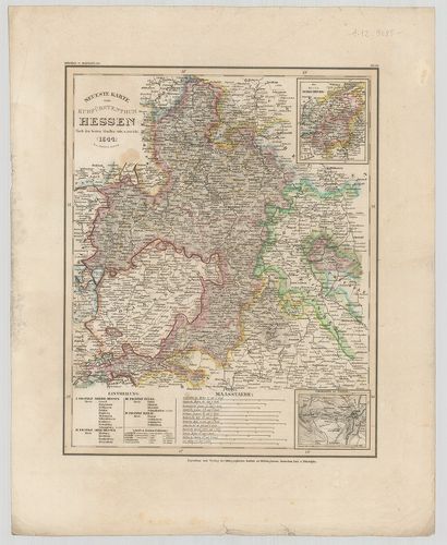
| Title | Neueste Karte vom Kurfürstenthum Hessen. |
| Main title | 2 mt.: 1. Der Kreis Schaumburg. (Schaumburg kerület térképe.) 2. Umgegend von Cassel. (Kassel és környéke.) |
| Subject | A Hessen-i Őrgrófság térképe 1844-ben. |
1419. Karte von dem Grossherzogthume Hessen und dem Angränzenden L... [B IV a 745]
Institute and Museum of Military History •
B IV a
•
B IV Német birodalom
•
B I–XV. Európa
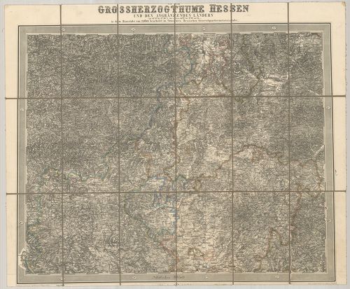
| Title | Karte von dem Grossherzogthume Hessen und dem Angränzenden Ländern. |
| Main title | A Hessen-i Nagyhercegség térképe 1858 körül. |
1420. Karte von dem Grossherzogthum Hessen und dem Herzogthum Nass... [B IV a 747]
Institute and Museum of Military History •
B IV a
•
B IV Német birodalom
•
B I–XV. Európa
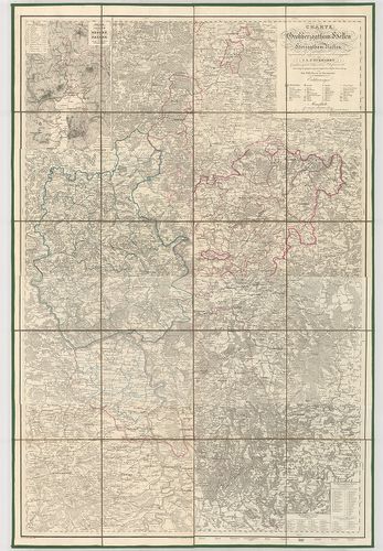
| Title | Karte von dem Grossherzogthum Hessen und dem Herzogthum Nassau. |
| Main title | Mt.: Uebersicht der Karte von Hessen und Nassau nebst den Vorzüglichsten Gebirgszügen. (Hessen és Nassau hegyrajz térképe.) |
| Subject | A Hessen-i Nagyhercegség és Nassau Hercegség térképe 1878-ban. |