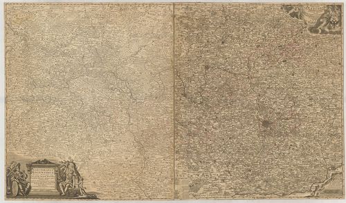
1321. Mappa Electoratus et Ducatus Bavariae Superioris et Inferior... [B IV a 422]
Institute and Museum of Military History •
B IV a
•
B IV Német birodalom
•
B I–XV. Európa
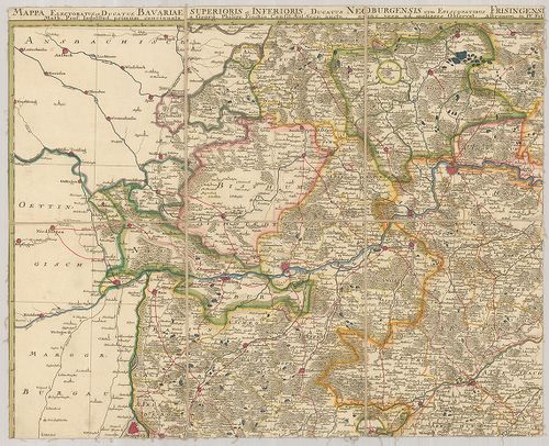
| Title | Mappa Electoratus et Ducatus Bavariae Superioris et Inferioris, Ducatus Neoburgensis cum Episcopatibus Frisingensi Ratisbonensi, Passaviensi et Praepositura Bergtolsgadensi… |
| Main title | A Bajor választófejedelemség, Neuburg hercegség, Passau püspökség, Berchtesgadeni prépostság térképe a 17. században. |
1322. Le Palatinat et Electorat du Rhein… [B IV a 423]
Institute and Museum of Military History •
B IV a
•
B IV Német birodalom
•
B I–XV. Európa
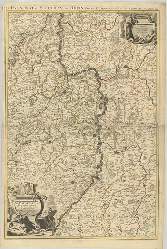
| Title | Le Palatinat et Electorat du Rhein… |
| Main title | A Rajna-Pfalz választófejedelemség térképe 1695-ben. |
1323. Partie Occidentale du Rhein le Duché de Simmeren, les Comtés... [B IV a 424]
Institute and Museum of Military History •
B IV a
•
B IV Német birodalom
•
B I–XV. Európa
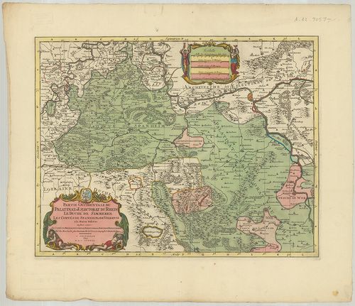
| Title | Partie Occidentale du Rhein le Duché de Simmeren, les Comtés de Spanheim et de Veldentz a la Maison Palatine. |
| Main title | A Rajna-Pfalz (Ny-i rész) választófejedelemség, Simmern hercegség. Sponheim és Veldenz grófság térképe. |
1324. Hassiae Svperioris et Wetterav… [B IV a 425]
Institute and Museum of Military History •
B IV a
•
B IV Német birodalom
•
B I–XV. Európa
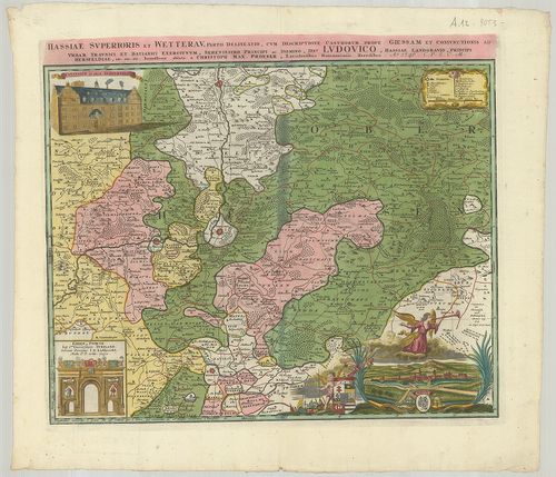
| Title | Hassiae Svperioris et Wetterav… |
| Main title | Felső-Hessen és Wetterau vidékének térképe 1746-ban. |
1325. Territorium Seculare Episcopatus Spirensis una cum terris ad... [B IV a 426]
Institute and Museum of Military History •
B IV a
•
B IV Német birodalom
•
B I–XV. Európa
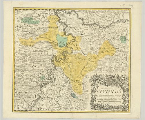
| Title | Territorium Seculare Episcopatus Spirensis una cum terris adiacentibus… |
| Main title | A Speyer-i püspökség térképe 1753-ban. |
1326. Delineatio aureae Sterilitatis Herciniensis i. e. Herciniae ... [B IV a 427]
Institute and Museum of Military History •
B IV a
•
B IV Német birodalom
•
B I–XV. Európa
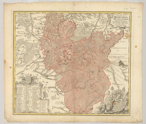
| Title | Delineatio aureae Sterilitatis Herciniensis i. e. Herciniae Metalliferae accurata Chorographia… |
| Main title | A Hercinai erdős-hegység térképe. |
1327. Territorium Seculare Episcopatvs Wormatiensis Tabula Geograp... [B IV a 428]
Institute and Museum of Military History •
B IV a
•
B IV Német birodalom
•
B I–XV. Európa
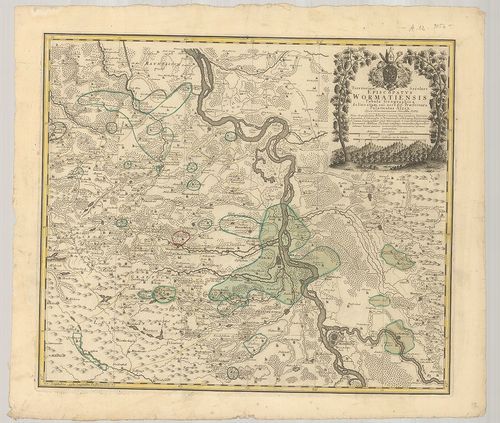
| Title | Territorium Seculare Episcopatvs Wormatiensis Tabula Geographica… |
| Main title | A Worms-i püspökség földrajzi térképe 1752-ben. |
1328. Die Grafschaft Pyrmont mit den umliegenden Hannoverischen, B... [B IV a 429]
Institute and Museum of Military History •
B IV a
•
B IV Német birodalom
•
B I–XV. Európa
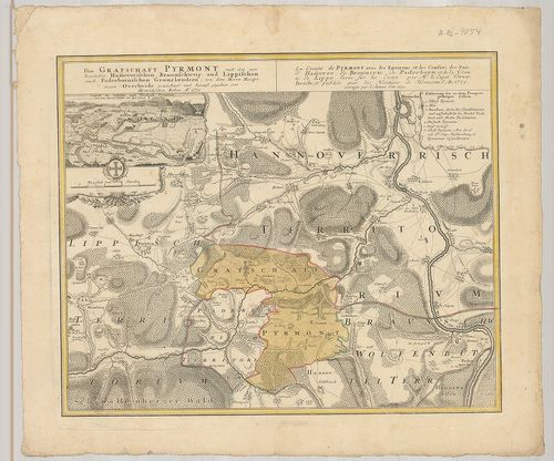
| Title | Die Grafschaft Pyrmont mit den umliegenden Hannoverischen, Braunschweig und Lippischen auch Paderbornischen Graenzlaendern. La Comté de Pyrmont avec les Environs et les Confins des Pais d’Hannovre, de Brounsvic, de Paderborn, et de la Comte de Lippe… |
| Main title | Mt.: Gegend des Schlosses und Neustadt Pyrmont. (Pyrmont térképe a grófi palotával) |
| Subject | Pyrmont grófság térképe a környező tartományokkal 1752-ben. |
1329. Le Duché de Berg, le comté de Homberg, les Seigneuries de Ha... [B IV a 430]
Institute and Museum of Military History •
B IV a
•
B IV Német birodalom
•
B I–XV. Európa
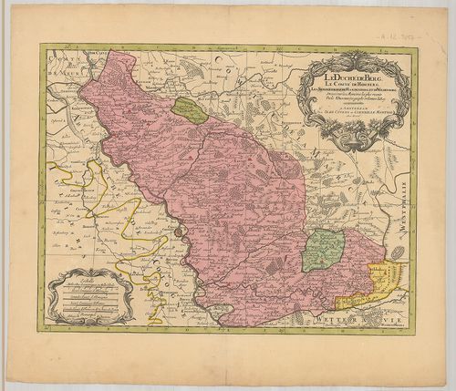
| Title | Le Duché de Berg, le comté de Homberg, les Seigneuries de Hardenberg, et de Wildenborg. |
| Main title | A Berg-i hercegség, Homberg grófság, Hardenberg és Wildenborg térképe. |
1330. Uebersichtskarte des Königreiches Bayern… Ortskarte. [B IV a 432]
Institute and Museum of Military History •
B IV a
•
B IV Német birodalom
•
B I–XV. Európa
| Title | Uebersichtskarte des Königreiches Bayern… Ortskarte. |
| Main title | A Bajor Királyság topográfiai térképe (helységnevekkel) 1853-ban. |
1331. Uebersichtskarte des Königreiches Bayern… Terrain Karte. [B IV a 433]
Institute and Museum of Military History •
B IV a
•
B IV Német birodalom
•
B I–XV. Európa
| Title | Uebersichtskarte des Königreiches Bayern… Terrain Karte. |
| Main title | A Bajor Királyság topográfiai térképe (síkrajz) 1853-ban. |
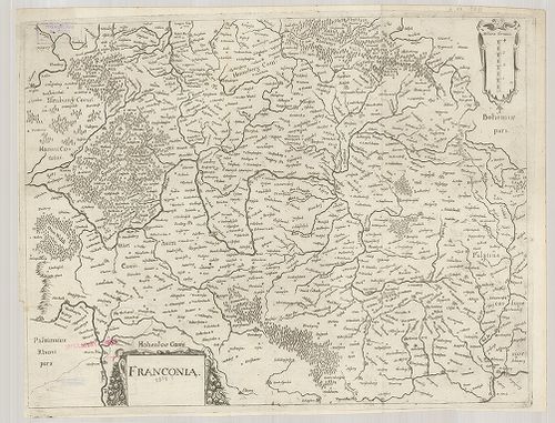
1332. Chorographia Bavariae. [B IV a 447]
Institute and Museum of Military History •
B IV a
•
B IV Német birodalom
•
B I–XV. Európa
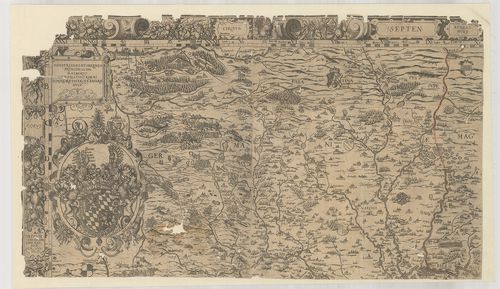
| Title | Chorographia Bavariae. |
| Main title | Bajorország térképe 1579-ben. |
1333. Exactissima Statuum Totius Ducatus Bavariae…] [B IV a 448]
Institute and Museum of Military History •
B IV a
•
B IV Német birodalom
•
B I–XV. Európa
| Title | Exactissima Statuum Totius Ducatus Bavariae…] |
| Main title | Bajorország térképe. |
1334. Topographisch-militairischer Atlas von dem Koenigreiche Baye... [B IV a 449]
Institute and Museum of Military History •
B IV a
•
B IV Német birodalom
•
B I–XV. Európa
| Title | Topographisch-militairischer Atlas von dem Koenigreiche Bayern und dem Fürstenthum Lichtenstein… |
| Main title | A Bajor Királyság és a Liechtenstein-i hercegség topográfiai térképe 1813-ban. |
1335. Uebersicht des topographischen Atlasses vom Koenigreich Baye... [B IV a 450]
Institute and Museum of Military History •
B IV a
•
B IV Német birodalom
•
B I–XV. Európa
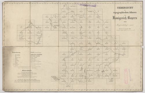
| Title | Uebersicht des topographischen Atlasses vom Koenigreich Bayern. |
| Main title | A Bajor Királyság topográfiai térképe 1848-ban. |
1336. Bayern. [B IV a 453]
Institute and Museum of Military History •
B IV a
•
B IV Német birodalom
•
B I–XV. Európa
| Title | Bayern. |
| Main title | Bajorország térképe 1921-ben. |
1337. I. Electoratus Moguntinus ut et Palatin Infer. Hassie et Flu... [B IV a 458]
Institute and Museum of Military History •
B IV a
•
B IV Német birodalom
•
B I–XV. Európa
| Title | I. Electoratus Moguntinus ut et Palatin Infer. Hassie et Fluminis Moeni alique pars exhibens simul… II. Circuli Franconiae Pars orientalis et Potior novissime… |
| Main title | Mainz érsekség és Hessen választófejedelemség és a Frankföld térképe. |
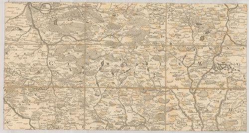
1338. Franconia. [B IV a 459]
Institute and Museum of Military History •
B IV a
•
B IV Német birodalom
•
B I–XV. Európa
| Title | Franconia. |
| Main title | A Frankföld térképe. |
1339. Circulus Franconicus ad Occidentem vergens cum regionibus co... [B IV a 460]
Institute and Museum of Military History •
B IV a
•
B IV Német birodalom
•
B I–XV. Európa
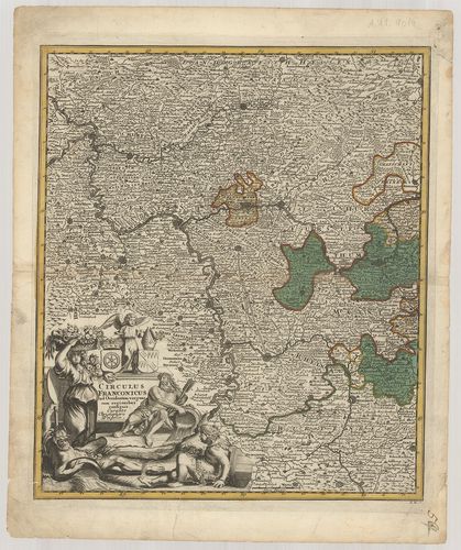
| Title | Circulus Franconicus ad Occidentem vergens cum regionibus contigius… |
| Main title | A Frankföld Ny-i részének térképe. |
1340. Karte vom Fürstenthum Anspach oder Onolzbach oder Burggrafth... [B IV a 469]
Institute and Museum of Military History •
B IV a
•
B IV Német birodalom
•
B I–XV. Európa
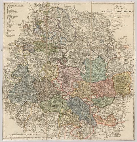
| Title | Karte vom Fürstenthum Anspach oder Onolzbach oder Burggrafthum Unterhalb des Gebürges. |
| Main title | Az Ansbach-i hercegség térképe 1792-ben. |