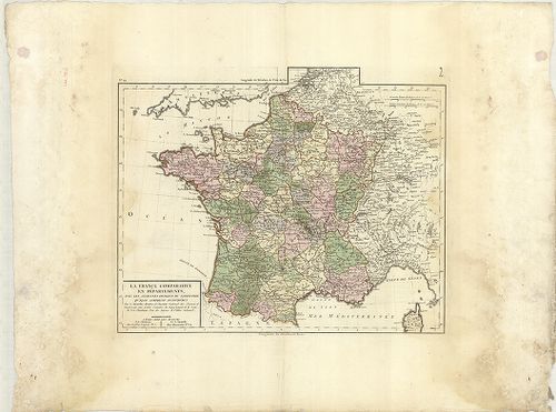
1661. Nouvelle Carte de France, servant á l’intelligence des Ménoi... [B V a 18]
Institute and Museum of Military History •
B V a
•
B V Franciaország
•
B I–XV. Európa
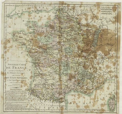
| Title | Nouvelle Carte de France, servant á l’intelligence des Ménoires historiques qui trailent des Etats-Généraux. |
| Main title | Franciaország térképe 1614–1789-ben. |
1662. Carte d’una Partie des Pays-Bas, pour servir de Supplément á... [B V a 18/1]
Institute and Museum of Military History •
B V a
•
B V Franciaország
•
B I–XV. Európa
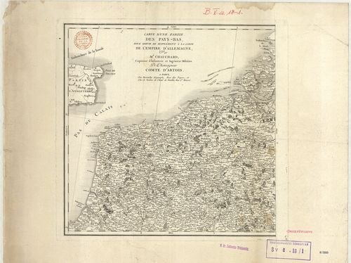
| Title | Carte d’una Partie des Pays-Bas, pour servir de Supplément á la Carte de L’Empire d’Allemagne… |
| Main title | Németalföld, Felső-Rajna vidék, Belgium és Franciaország egy-egy részének térképe. |
1663. Carte de la République de France divisé en 87 Départements. [B V a 28]
Institute and Museum of Military History •
B V a
•
B V Franciaország
•
B I–XV. Európa
| Title | Carte de la République de France divisé en 87 Départements. |
| Main title | A Francia Köztársaság közigazgatási térképe. |
1664. Carte de la France et du Royaume d’Italie divisés en Départe... [B V a 31]
Institute and Museum of Military History •
B V a
•
B V Franciaország
•
B I–XV. Európa
| Title | Carte de la France et du Royaume d’Italie divisés en Départemens. |
| Main title | Franciaország és az Olasz-Királyság egy részének térképe kerületi beosztással. |
1665. La France comparative en départements avec les anciennes div... [B V a 32]
Institute and Museum of Military History •
B V a
•
B V Franciaország
•
B I–XV. Európa
| Title | La France comparative en départements avec les anciennes divisions du territoire qu’elle compred aujourd’huy. |
| Main title | Franciaország térképe kerületi beosztással. |
1666. Carte de L’Empire François… [B V a 34]
Institute and Museum of Military History •
B V a
•
B V Franciaország
•
B I–XV. Európa
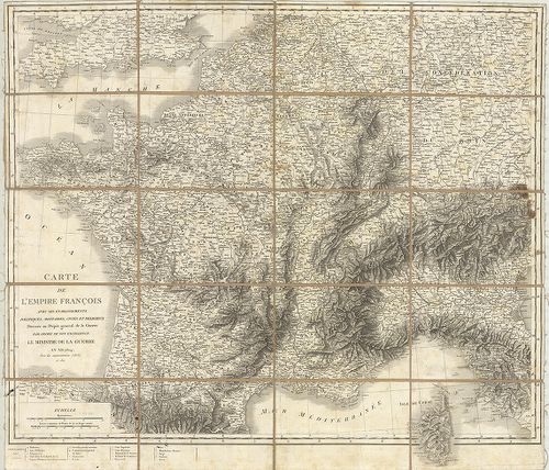
| Title | Carte de L’Empire François… |
| Main title | A Francia Császárság térképe 1804-ben. |
1667. Neueste General Karte von Frankreich. Carte de L’Empire Fran... [B V a 37]
Institute and Museum of Military History •
B V a
•
B V Franciaország
•
B I–XV. Európa
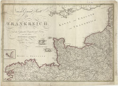
| Title | Neueste General Karte von Frankreich. Carte de L’Empire Francais divisée en Départemens. |
| Main title | Franciaország általános térképe. |
1668. Neue Politische-Militärische und Post-Karte vom ganzen Franc... [B V a 42]
Institute and Museum of Military History •
B V a
•
B V Franciaország
•
B I–XV. Európa
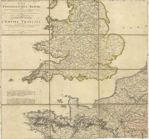
| Title | Neue Politische-Militärische und Post-Karte vom ganzen Francoesischen Reiche welche England, den Rheinbund, die Schweiz des Königreich Italien und Spanien bis Madrit… Nouvelle Carte de L’Empire Francais Comprenant L’Angleterre, la Confederation du Rhein, l’Helvetie, le Royaume d’Italie et l’Espagne jusqu á Madrit… |
| Main title | Franciaország politikai, katonai és postahálózati térképe 1812-ben, Anglia, a Rajnai tartományok, Svájc, Olasz-Királyság és Spanyolország (Madrid-ig) egy részével. |
1669. Franczia Közönséges Társaság. [B V a 43]
Institute and Museum of Military History •
B V a
•
B V Franciaország
•
B I–XV. Európa
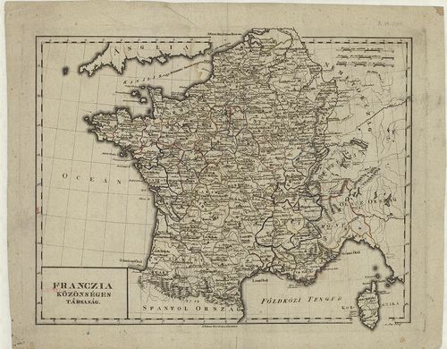
| Title | Franczia Közönséges Társaság. |
| Main title | Franciaország térképe- |
1670. Carte Générale des Gaules. [B V a 46]
Institute and Museum of Military History •
B V a
•
B V Franciaország
•
B I–XV. Európa
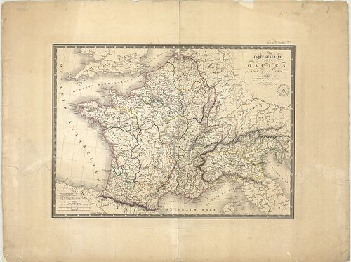
| Title | Carte Générale des Gaules. |
| Main title | Franciaország általános térképe 1821-ben. |
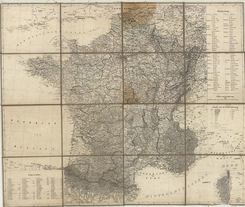
1671. Carte Phisique, Administrative et Routiére de la France… [B V a 49/1]
Institute and Museum of Military History •
B V a
•
B V Franciaország
•
B I–XV. Európa
| Title | Carte Phisique, Administrative et Routiére de la France… |
| Main title | Franciaország térképe, tartományi beosztással 1818-ban. |
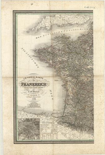
1672. Frankreich. [B V a 50]
Institute and Museum of Military History •
B V a
•
B V Franciaország
•
B I–XV. Európa
| Title | Frankreich. |
| Main title | Franciaország térképe 1841-ben. |
1673. Frankreich. [B V a 51]
Institute and Museum of Military History •
B V a
•
B V Franciaország
•
B I–XV. Európa
| Title | Frankreich. |
| Main title | Mt.: Umgebung von Paris. (Párizs és környéke.)Franciaország térképe 1836-ban. |
1674. Frankreich. [B V a 52]
Institute and Museum of Military History •
B V a
•
B V Franciaország
•
B I–XV. Európa
| Title | Frankreich. |
| Main title | 3 mt.: 1. Lyon und seiner Umgebungen (Lyon és környéke). 2. Paris und seiner Umgebungen (Párizs és környéke.). 3. Marseille und Umgebungen (Marseille és környéke.).Franciaország térképe tartományi beosztással 1854-ben. |
1675. France par Départements. [B V a 53]
Institute and Museum of Military History •
B V a
•
B V Franciaország
•
B I–XV. Európa

| Title | France par Départements. |
| Main title | Franciaország térképe közigazgatási beosztással 1882-ben. |
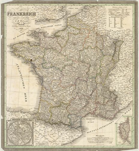
1676. General-Karte von Frankreich. [B V a 59]
Institute and Museum of Military History •
B V a
•
B V Franciaország
•
B I–XV. Európa
| Title | General-Karte von Frankreich. |
| Main title | 2 mt.: 1. Frankreich nach seiner chemaligen Eintheilung in Gouvernements mit den landschaftlichen Namen u. den historisch wichtigen Orten. (Franciaország térképe közigazgatási kerületi beosztással és a történelmi helyek megjelölésével.) 2. Umgegend von Paris (Párizs és környéke.). |
| Subject | Franciaország általános térképe 1857-ben. |
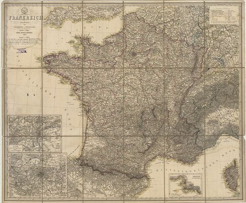
1677. General Karte von Frankreich. [B V a 60]
Institute and Museum of Military History •
B V a
•
B V Franciaország
•
B I–XV. Európa
| Title | General Karte von Frankreich. |
| Main title | Mt.: (Párizs és környéke.) |
| Subject | Franciaország általános térképe 1836-ban. |
1678. Carte Administrative et Phisique de la France… [B V a 61]
Institute and Museum of Military History •
B V a
•
B V Franciaország
•
B I–XV. Európa
| Title | Carte Administrative et Phisique de la France… |
| Main title | 6 mt.: 1. Nantes. 2. Rouen. 3. Bordeaux. 4. Lyon. 5. Marseille-várostérképek. 6. Environs de Paris (Párizs és környéke.).Franciaország közigazgatási és földrajzi térképe 1857-ben úthálózattal. |
1679. Carte Orographique Hydrographique et Routiére de L’Empire Fr... [B V a 63]
Institute and Museum of Military History •
B V a
•
B V Franciaország
•
B I–XV. Európa
| Title | Carte Orographique Hydrographique et Routiére de L’Empire Français comprenant le Bassin du Rhein et la Région des Alpes Occidentales… |
| Main title | Franciaország általános térképe 1860-ban, a Rajna forrásvidéke és a NY-i alpok egy részével, vasúthálózattal. |
1680. Frankreich mit Piemont, Schweiz, Baden, Würtemberg, Rhein-Pr... [B V a 65]
Institute and Museum of Military History •
B V a
•
B V Franciaország
•
B I–XV. Európa
| Title | Frankreich mit Piemont, Schweiz, Baden, Würtemberg, Rhein-Provinz, Hessen und Belgien. |
| Main title | 2 mt.: 1. Frankreich nach seiner ehemaligen. Einteilung in Gouvernements mit den landschaftlichen Namen u. den historisch wichtigen Orten. (Franciaország közigazgatási térképe a nevezetes történelmi helyek megjelölésével.) 2. Umgegend von Paris. (Párizs és környéke.) |
| Subject | Franciaország térképe, Piemont, Svájc, Baden, Würtemberg, Rajna-tartományok, Hessen és Belgium területével 1866-ban. |