1481. Südost-Deutschland. [B IV a 961]
Institute and Museum of Military History •
B IV a
•
B IV Német birodalom
•
B I–XV. Európa
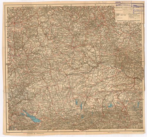
| Title | Südost-Deutschland. |
| Main title | Németország DK-i részének térképe (Bajorország). |
1482. Mittel-Deutschland. [B IV a 964]
Institute and Museum of Military History •
B IV a
•
B IV Német birodalom
•
B I–XV. Európa
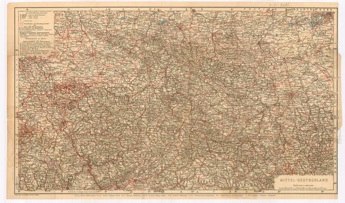
| Title | Mittel-Deutschland. |
| Main title | Közép-Németország térképe. |
1483. Nord-Deutschland. (Südostlicher Teil) [B IV a 965]
Institute and Museum of Military History •
B IV a
•
B IV Német birodalom
•
B I–XV. Európa
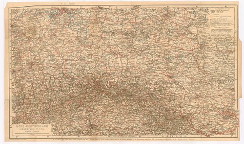
| Title | Nord-Deutschland. (Südostlicher Teil) |
| Main title | Észak-Németország térképe. |
1484. Karte der Fränkischen Schweiz. [B IV a 966]
Institute and Museum of Military History •
B IV a
•
B IV Német birodalom
•
B I–XV. Európa
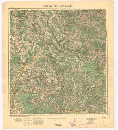
| Title | Karte der Fränkischen Schweiz. |
| Main title | Frank-Svájc térképe 1933-ban. |
1485. Topographische Übersichtskarte von Südwestdeutschland in 6 B... [B IV a 967]
Institute and Museum of Military History •
B IV a
•
B IV Német birodalom
•
B I–XV. Európa
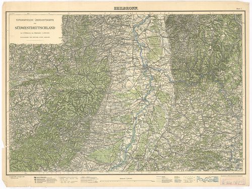
| Title | Topographische Übersichtskarte von Südwestdeutschland in 6 Blättern. Blatt I. Heilbronn. Blatt II. Hall. Blatt III. Stuttgart. |
| Main title | Németország DNY-i részének topográfiai térképe 1925–1928-ban. |
1486. Füssen, Germany. [B IV a 968]
Institute and Museum of Military History •
B IV a
•
B IV Német birodalom
•
B I–XV. Európa
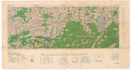
| Title | Füssen, Germany. |
| Main title | Németország: Füssen és környékének (Bajor Alpok) térképe 1943-ban. |
1487. Standortkarte von Deggendorf. [B IV a 969]
Institute and Museum of Military History •
B IV a
•
B IV Német birodalom
•
B I–XV. Európa
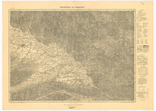
| Title | Standortkarte von Deggendorf. |
| Main title | Deggendorf és környékének topográfiai térképe 1934-ben. |
1488. Karte der Pfalz. [B IV a 970]
Institute and Museum of Military History •
B IV a
•
B IV Német birodalom
•
B I–XV. Európa
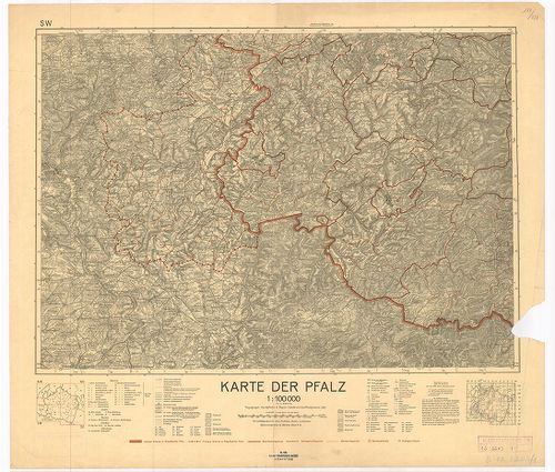
| Title | Karte der Pfalz. |
| Main title | Pfalz kerület térképe 1935-ben az akkori határ kijelölésével. |
1489. Solling-Karte. [B IV a 990]
Institute and Museum of Military History •
B IV a
•
B IV Német birodalom
•
B I–XV. Európa
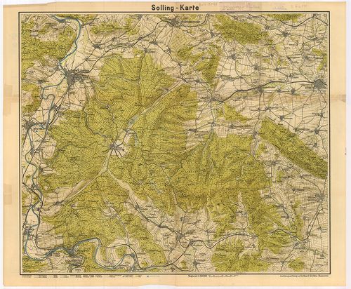
| Title | Solling-Karte. |
| Main title | A Solling-hegység (Németo.) topográfiai térképe. |
1490. Kreis Angermünden. [B IV a 999]
Institute and Museum of Military History •
B IV a
•
B IV Német birodalom
•
B I–XV. Európa
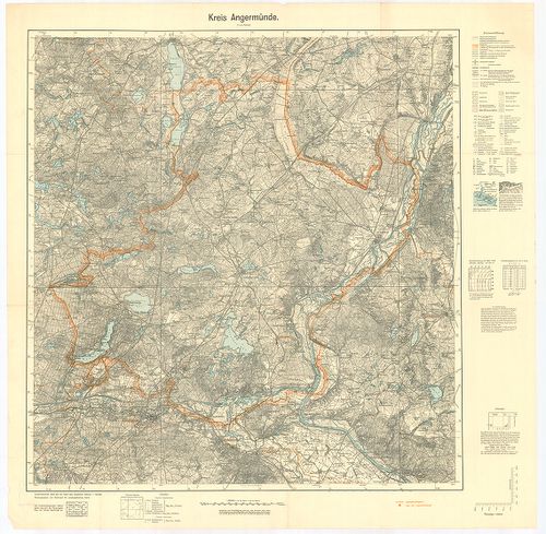
| Title | Kreis Angermünden. |
| Main title | Angermünden-kerület (Németo.) topográfiai térképe 1939-ben. |
1491. Oberamtskarte Blaubeuren. [B IV a 1000]
Institute and Museum of Military History •
B IV a
•
B IV Német birodalom
•
B I–XV. Európa
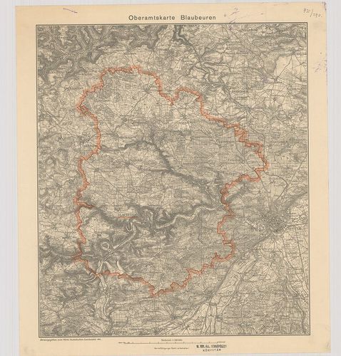
| Title | Oberamtskarte Blaubeuren. |
| Main title | Blaubeuren-kerület (Németo.) topográfiai térképe 1934-ben. |
1492. Oberamtskarte Ehingen. [B IV a 1001]
Institute and Museum of Military History •
B IV a
•
B IV Német birodalom
•
B I–XV. Európa
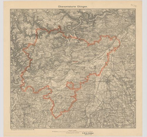
| Title | Oberamtskarte Ehingen. |
| Main title | Ehingen-kerület (Németo.) topográfiai térképe 1934-ben. |
1493. Oberamtskarte Geislingen. [B IV a 1002]
Institute and Museum of Military History •
B IV a
•
B IV Német birodalom
•
B I–XV. Európa
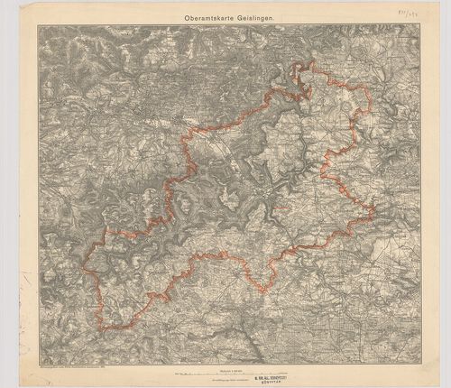
| Title | Oberamtskarte Geislingen. |
| Main title | Geislingen-kerület ((Németo.) topográfiai térképe 1934-ben. |
1494. Oberamtskarte Heidenheim. [B IV a 1003]
Institute and Museum of Military History •
B IV a
•
B IV Német birodalom
•
B I–XV. Európa
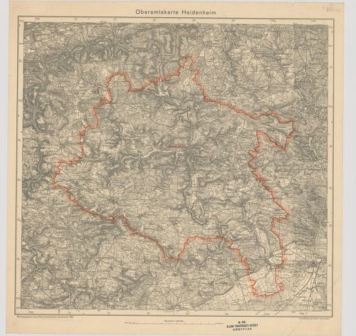
| Title | Oberamtskarte Heidenheim. |
| Main title | Heidenheim-kerület (Németo.) topográfiai térképe 1935-ben. |
1495. Oberamtskarte Heilbronn. [B IV a 1004]
Institute and Museum of Military History •
B IV a
•
B IV Német birodalom
•
B I–XV. Európa
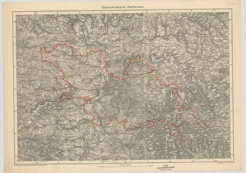
| Title | Oberamtskarte Heilbronn. |
| Main title | Heilbronn-kerület (Németo.) topográfiai térképe 1935-ben. |
1496. Oberamtskarte Laupheim. [B IV a 1005]
Institute and Museum of Military History •
B IV a
•
B IV Német birodalom
•
B I–XV. Európa
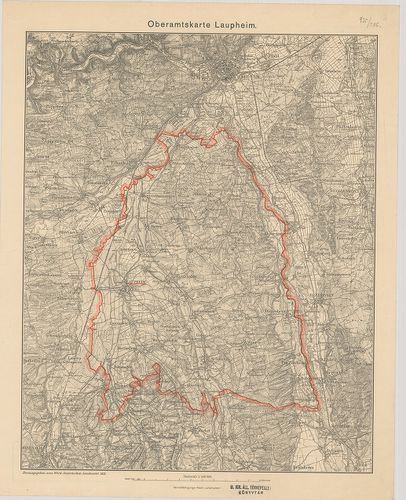
| Title | Oberamtskarte Laupheim. |
| Main title | Laupheim-kerület topográfiai térképe 1933-ban. |
1497. Oberamt Leonberg. Archasologische Fundkarte. [B IV a 1006]
Institute and Museum of Military History •
B IV a
•
B IV Német birodalom
•
B I–XV. Európa
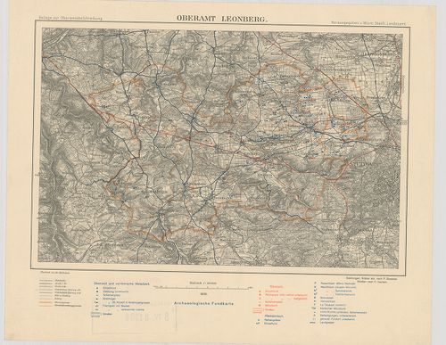
| Title | Oberamt Leonberg. Archasologische Fundkarte. |
| Main title | Leonberg-kerület (Németo.) régészetilelet térképe 1930-ban. |
1498. Oberamtskarte Münsingen. [B IV a 1007]
Institute and Museum of Military History •
B IV a
•
B IV Német birodalom
•
B I–XV. Európa
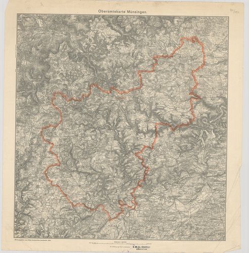
| Title | Oberamtskarte Münsingen. |
| Main title | Münsingen-kerület (Németo.) topográfiai térképe 1934-ben. |
1499. Oberamtskarte Ulm. [B IV a 1008]
Institute and Museum of Military History •
B IV a
•
B IV Német birodalom
•
B I–XV. Európa
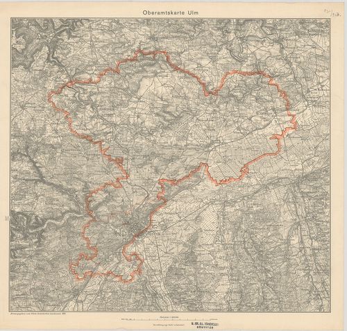
| Title | Oberamtskarte Ulm. |
| Main title | Ulm-kerület (Németo.) topográfiai térképe 1934-ben. |
1500. Oberamtskarte Urach. [B IV a 1009]
Institute and Museum of Military History •
B IV a
•
B IV Német birodalom
•
B I–XV. Európa
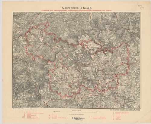
| Title | Oberamtskarte Urach. |
| Main title | Oberamts und Markungsgrenzen Eintragungen vorgeschtlicher Bodenfunde und Strassen. |
| Subject | Urach-kerület (Németo.) térképe a régészeti lelőhelyek és utak berajzolásával 1932-ben. |