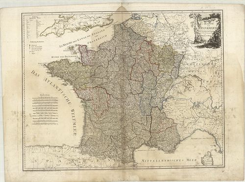
1681. General-Karte von Frankreich. [B V a 72]
Institute and Museum of Military History •
B V a
•
B V Franciaország
•
B I–XV. Európa
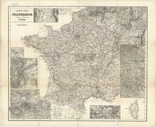
| Title | General-Karte von Frankreich. |
| Main title | 12 mt.: 1. [Colmar] 2. [Chalons sur Marne] 3. [Lyon] 4. [Paris] 5. [Nancy] 6. [Pfalzburg], Phalsbourg 7. [Bitsch], Bitsche. 8. [Schlettstadt], Sélestat 9. [Metz] 10. [Strassburg], Strassbourg 11. [Weissenburg], Wissenbourg 12. [Sedan és környékének térképe.] |
| Subject | Franciaország általános térképe. |
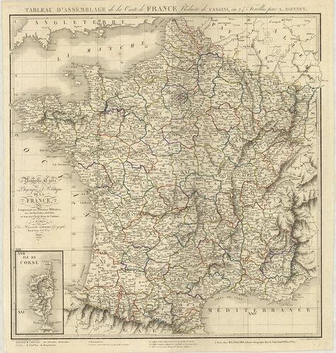
1682. Nouvelle Topographie de la France. … [B V a 74]
Institute and Museum of Military History •
B V a
•
B V Franciaország
•
B I–XV. Európa
| Title | Nouvelle Topographie de la France. … |
| Main title | Franciaország topográfiai térképe 1780-ban. |
1683. Atlas National de France. – Carte De la République Francaise... [B V a 75]
Institute and Museum of Military History •
B V a
•
B V Franciaország
•
B I–XV. Európa
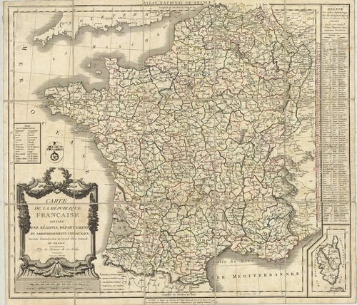
| Title | Atlas National de France. – Carte De la République Francaise divisée par Régions, Départements et Arrondissements Communaux. |
| Main title | A Francia Köztársaság térképe megyei, kerületi felosztással 1790-ben. |
1684. Carte Itinéraire de la France divisée en Départements et en ... [B V a 75/2]
Institute and Museum of Military History •
B V a
•
B V Franciaország
•
B I–XV. Európa
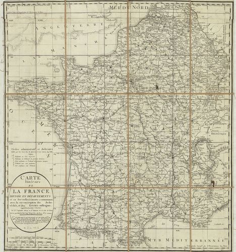
| Title | Carte Itinéraire de la France divisée en Départements et en Arrodissements communaux… |
| Main title | Franciaország térképe megyei, járási felosztással és úthálózattal. |
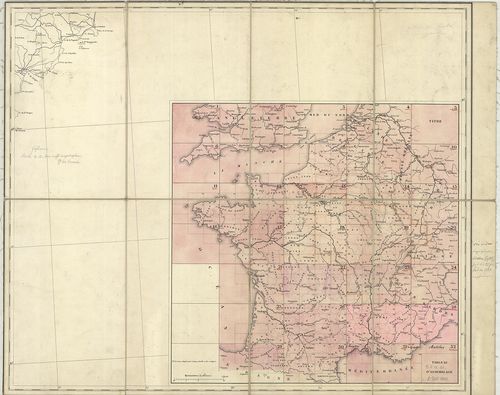
1685. Carte Topographique, Minéralogique et Statistique de la Fran... [B V a 76]
Institute and Museum of Military History •
B V a
•
B V Franciaország
•
B I–XV. Európa
| Title | Carte Topographique, Minéralogique et Statistique de la France… |
| Main title | 2 mell.: 1. Tableau Provisoire… (Ideiglenes táblázat, jelm. a térképhez.) 2. [Áttekintő térképlap.] |
| Subject | Franciaország topográfiai, földtani és statisztikai térképe 1817-ben. |
1686. Carte De La France. [B V a 81]
Institute and Museum of Military History •
B V a
•
B V Franciaország
•
B I–XV. Európa
| Title | Carte De La France. |
| Main title | Franciaország topográfiai térképe 1852-ben. |
1687. Karte von Frankreich in XVI. Blättern. [B V a 85]
Institute and Museum of Military History •
B V a
•
B V Franciaország
•
B I–XV. Európa
| Title | Karte von Frankreich in XVI. Blättern. |
| Main title | Franciaország térképe úthálózattal, kerületi és megyei beosztással 1795-ben. |
1688. Carte Générale de la France Par Départemens. [B V a 86]
Institute and Museum of Military History •
B V a
•
B V Franciaország
•
B I–XV. Európa
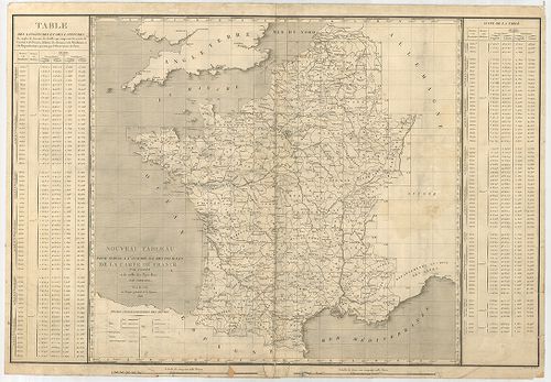
| Title | Carte Générale de la France Par Départemens. |
1689. Karte von Frankreich. [B V a 88]
Institute and Museum of Military History •
B V a
•
B V Franciaország
•
B I–XV. Európa
| Title | Karte von Frankreich. |
| Main title | Franciaország térképe 1795-ben kerületi beosztással. |
1690. Karte von Frankreich. [B V a 89]
Institute and Museum of Military History •
B V a
•
B V Franciaország
•
B I–XV. Európa
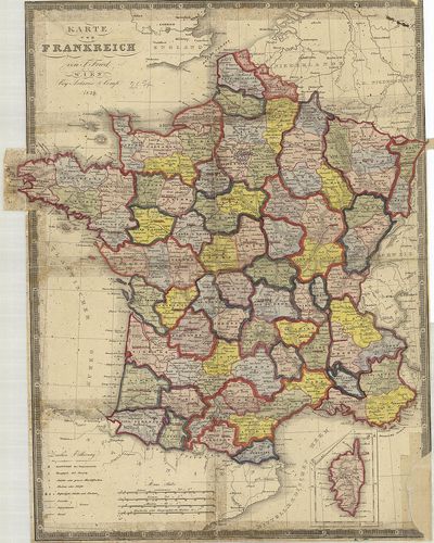
| Title | Karte von Frankreich. |
| Main title | Franciaország térképe 1839-ben kerületi beosztással. |
1691. Topographischer Atlas von den fünf um die Hauptstadt Paris l... [B V a 90/13]
Institute and Museum of Military History •
B V a
•
B V Franciaország
•
B I–XV. Európa
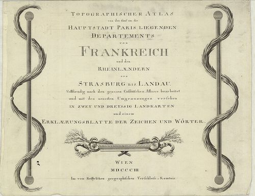
| Title | Topographischer Atlas von den fünf um die Hauptstadt Paris liegenden Départements von Frankreich und den Rheinlaendern von Strassburg bis Landau. |
| Main title | Franciaország topográfiai atlasza 1803-ban, a Rajna tartományokkal Strassburgtól Landauig. |
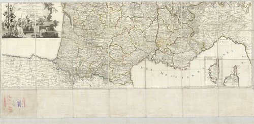
1692. Karte von Östlichen Frankreich. [B V a 90/16]
Institute and Museum of Military History •
B V a
•
B V Franciaország
•
B I–XV. Európa
| Title | Karte von Östlichen Frankreich. |
| Main title | Franciaország K-i részének térképe 1842-ben, Lyon-tól Coblenz-ig. |
1693. O’Grandy’s Uebersichtskarte vom Nordöstlichen Frankreich neb... [B V a 90/19]
Institute and Museum of Military History •
B V a
•
B V Franciaország
•
B I–XV. Európa
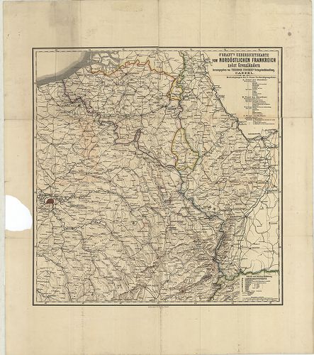
| Title | O’Grandy’s Uebersichtskarte vom Nordöstlichen Frankreich nebst Grenzländern. |
| Main title | Franciaország ÉK-i részének áttekintő térképe 1887-ben. |
1694. G. Freytags Karte von Nordost-Frankreich, und Belgien. [B V a 90/21]
Institute and Museum of Military History •
B V a
•
B V Franciaország
•
B I–XV. Európa
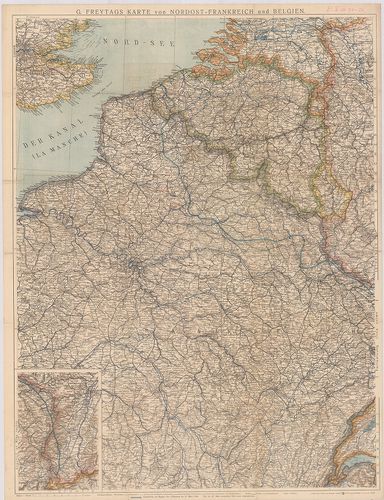
| Title | G. Freytags Karte von Nordost-Frankreich, und Belgien. |
| Main title | Franciaország ÉK-i rész és Belgium térképe a frontvonal feltüntetésével 1918. márc. 21.-i támadás (offenzíva) idején. |
1695. Carte de France. Saverne. [B V a 91]
Institute and Museum of Military History •
B V a
•
B V Franciaország
•
B I–XV. Európa
| Title | Carte de France. Saverne. |
| Main title | Franciaország térképe: Saverne és környéke úthálózattal. |
1696. Carte de France. Châlons. [B V a 91/1]
Institute and Museum of Military History •
B V a
•
B V Franciaország
•
B I–XV. Európa
| Title | Carte de France. Châlons. |
| Main title | Franciaország: Châlons sur Marne környékének térképe úthálózattal. |
1697. Carte De France. Méziéres. [B V a 91/2]
Institute and Museum of Military History •
B V a
•
B V Franciaország
•
B I–XV. Európa
| Title | Carte De France. Méziéres. |
| Main title | Franciaország: Méziéres és környékének térképe úthálózattal. |
1698. Artesia Comitatus. Artois. [B V a 92]
Institute and Museum of Military History •
B V a
•
B V Franciaország
•
B I–XV. Európa
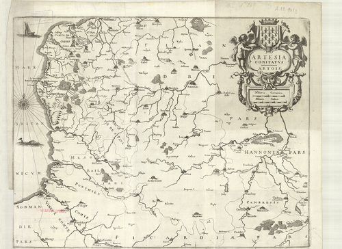
| Title | Artesia Comitatus. Artois. |
| Main title | Franciaország: Artois grófság térképe a 18. században. |
1699. Carta del Ducato di Lorena. [B V a 92/2]
Institute and Museum of Military History •
B V a
•
B V Franciaország
•
B I–XV. Európa
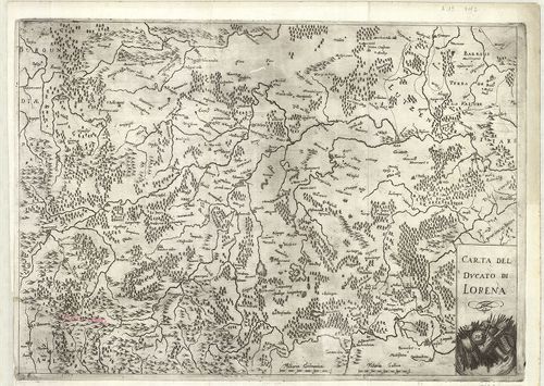
| Title | Carta del Ducato di Lorena. |
| Main title | Franciaország: Lotharingiai hercegség általános térképe a 18. században. |
1700. Vermandois. [B V a 93]
Institute and Museum of Military History •
B V a
•
B V Franciaország
•
B I–XV. Európa
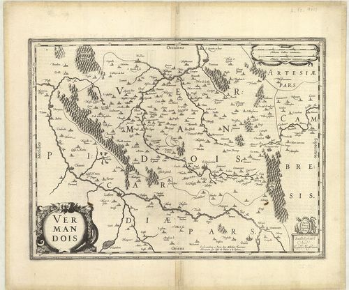
| Title | Vermandois. |
| Main title | Franciaország: Vermandois grófság általános térképe a 17. században. |