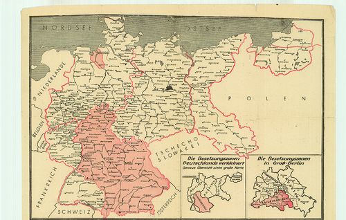
561. Germany: Map of the Occupation Areas. – Karte der Besatzungs... [B IV c 260]
Institute and Museum of Military History •
B IV c
•
B IV Német birodalom
•
B I–XV. Európa
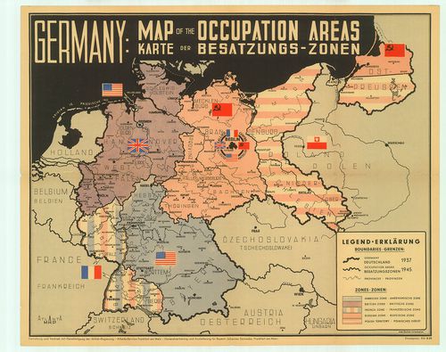
| Title | Germany: Map of the Occupation Areas. – Karte der Besatzungs-Zonen. |
| Main title | Németország megszállási zónáinak térképe 1945 után. |
562. Professor W. Liebenow’s Wander-Rad- und Autobomilkarte des O... [B IV c 271]
Institute and Museum of Military History •
B IV c
•
B IV Német birodalom
•
B I–XV. Európa
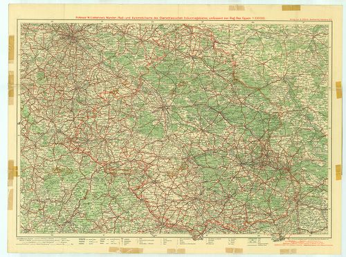
| Title | Professor W. Liebenow’s Wander-Rad- und Autobomilkarte des Oberschlesischen Industriegebietes umfassend den Regierungsbezirk Oppeln. |
| Main title | Felső-Szilézia Opole Kerület turista-út-vasúttérképe. |
563. Übersichtskarte des deutsch-französischen Kriegsschauplatzes... [B IV c 272]
Institute and Museum of Military History •
B IV c
•
B IV Német birodalom
•
B I–XV. Európa
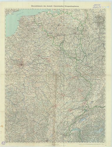
| Title | Übersichtskarte des deutsch-französischen Kriegsschauplatzes. |
| Main title | A német–francia hadszíntér áttekintő térképe úthálózattal. |
564. Reliefkarte der deutsch–russischen Grenzgebiete. Nr. 2. [B IV c 274]
Institute and Museum of Military History •
B IV c
•
B IV Német birodalom
•
B I–XV. Európa
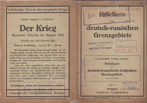
| Title | Reliefkarte der deutsch–russischen Grenzgebiete. Nr. 2. |
| Main title | A német–orosz határvidék madártávlatos térképe 1914-ben. |
565. 1. Zusammendruck. A. O. K. Süd. [B IV c 276]
Institute and Museum of Military History •
B IV c
•
B IV Német birodalom
•
B I–XV. Európa
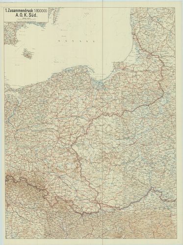
| Title | 1. Zusammendruck. A. O. K. Süd. |
| Main title | [Németország.] Stettin, – Prága (Praha) – Brünn (Brno) – Przemšl – Libau – (Liepäja) közötti terület térképe úthálózattal 1919-ben, össznyomat. |
566. Oberkommando Grenzschutz Nord. [B IV c 277]
Institute and Museum of Military History •
B IV c
•
B IV Német birodalom
•
B I–XV. Európa
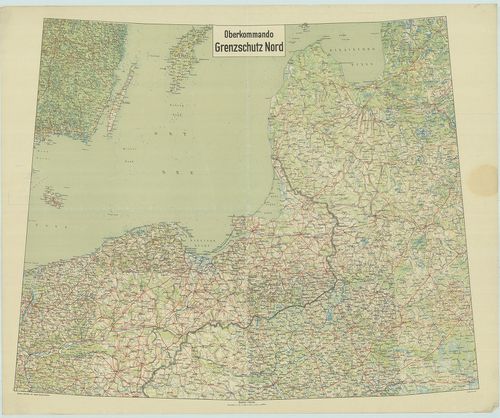
| Title | Oberkommando Grenzschutz Nord. |
| Main title | [Németország.] Stettin (Scecin) – Warszawa – Gotland sziget – Riga-Walk (Valka) közötti terület térképe 1919-ben, úthálózattal. össznyomat. |
567. Der Deutsch-Französische Grenzraum. [B IV c 282]
Institute and Museum of Military History •
B IV c
•
B IV Német birodalom
•
B I–XV. Európa
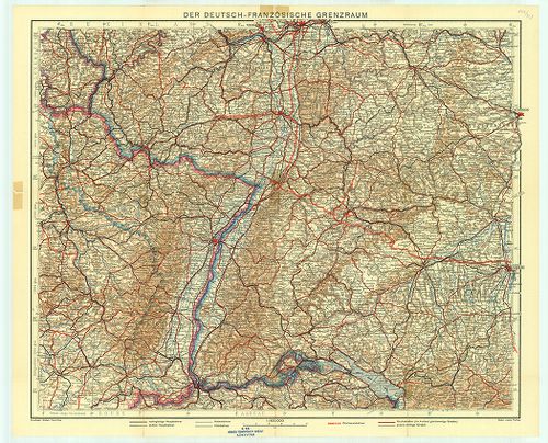
| Title | Der Deutsch-Französische Grenzraum. |
| Main title | A német–francia határvidék autó-vasút-hálózati térképe. |
568. Carte des Zones D’Occupation de L’Allemagne et de L’Autriche... [B IV c 290]
Institute and Museum of Military History •
B IV c
•
B IV Német birodalom
•
B I–XV. Európa
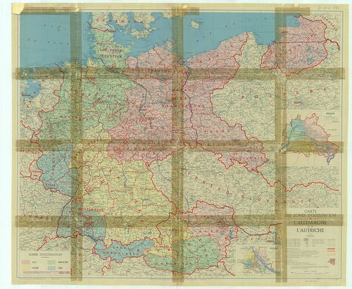
| Title | Carte des Zones D’Occupation de L’Allemagne et de L’Autriche. |
| Main title | 2 mt.: 1. Berlin. 2. Vienne (Bécs). |
| Subject | Németország és Ausztria megszállási zónái 1945-ben. |
569. C. Opitz, Reise- und Eisenbahnkarte von Deutschland [B IV c 392]
Institute and Museum of Military History •
B IV c
•
B IV Német birodalom
•
B I–XV. Európa

| Title | C. Opitz, Reise- und Eisenbahnkarte von Deutschland |
| Main title | Németország vasútvonalai. |
570. Postcurs von, Deutschland und einigen angränzenden Ländern. [B IV c 395]
Institute and Museum of Military History •
B IV c
•
B IV Német birodalom
•
B I–XV. Európa
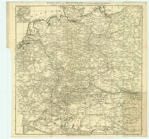
| Title | Postcurs von, Deutschland und einigen angränzenden Ländern. |
| Main title | 1 mt.: Route und Environs von Paris (Párizs környéke és útjai).. |
| Subject | Németország és a környező országok postaútjai. |
571. Post und Strassen Karte von Deutschland und dep Nachbar Staa... [B IV c 396]
Institute and Museum of Military History •
B IV c
•
B IV Német birodalom
•
B I–XV. Európa
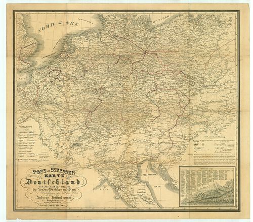
| Title | Post und Strassen Karte von Deutschland und dep Nachbar Staaten bis London Warschau und Rom. |
| Main title | Németország posta és úttérképe a környező országokkal London, Varsó és Róma vonalában. |
572. Flemmings Spezialkarte für den Deutsch–Russischen Krieg. [B IV c 397]
Institute and Museum of Military History •
B IV c
•
B IV Német birodalom
•
B I–XV. Európa
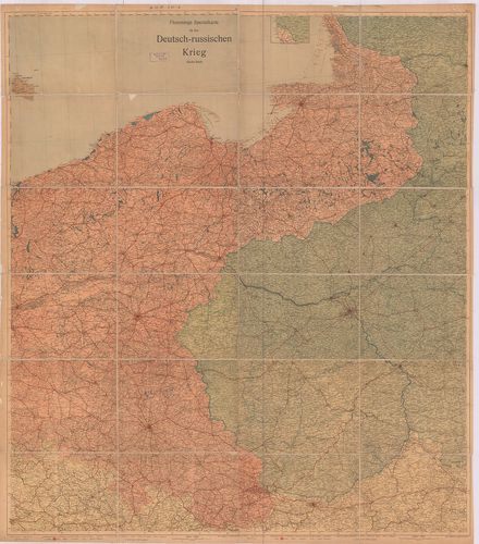
| Title | Flemmings Spezialkarte für den Deutsch–Russischen Krieg. |
| Main title | A német–orosz háború térképe. |
573. Freytags Übersichtskarte des Deutsch–Russischen Kriegsschaup... [B IV c 398]
Institute and Museum of Military History •
B IV c
•
B IV Német birodalom
•
B I–XV. Európa
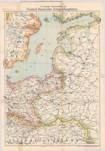
| Title | Freytags Übersichtskarte des Deutsch–Russischen Kriegsschauplatzes. |
| Main title | A német–orosz hadszíntér áttekintő térképe. |
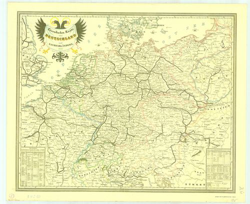
574. Eisenbahn Karte von Deutschland und Nachbarländern. [B IV c 403]
Institute and Museum of Military History •
B IV c
•
B IV Német birodalom
•
B I–XV. Európa
| Title | Eisenbahn Karte von Deutschland und Nachbarländern. |
| Main title | Németország és a környező területek vasúttérképe 1849-ből. |
575. Neuste-Reise-Karte von Deutschland und der angrenzenden Länd... [B IV c 404]
Institute and Museum of Military History •
B IV c
•
B IV Német birodalom
•
B I–XV. Európa
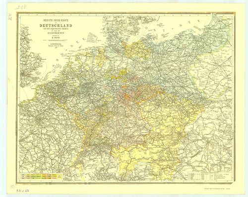
| Title | Neuste-Reise-Karte von Deutschland und der angrenzenden Ländern mit Angabe aller Eisenbahnen. |
| Main title | Németország és a környező országok útitérképe, valamennyi vasútvonal feltüntetésével 1899-ből. |
576. Die Verwaltungsbezirke des Deutschehn Reichs nach dem Stand ... [B IV c 405]
Institute and Museum of Military History •
B IV c
•
B IV Német birodalom
•
B I–XV. Európa
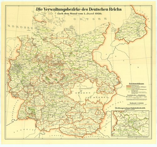
| Title | Die Verwaltungsbezirke des Deutschehn Reichs nach dem Stand vom 1. Juni 1939. |
| Main title | Németország közigazgatási beosztása 1939. jún. 1-jétől. |
577. Luftverkehrkarte des Deutschen Reiches. [B IV c 406]
Institute and Museum of Military History •
B IV c
•
B IV Német birodalom
•
B I–XV. Európa
| Title | Luftverkehrkarte des Deutschen Reiches. |
| Main title | A Német Birodalom légiforgalmi térképe. |
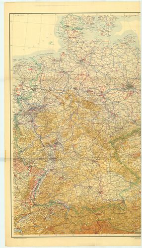
578. Deutschland-Karte. [B IV c 407]
Institute and Museum of Military History •
B IV c
•
B IV Német birodalom
•
B I–XV. Európa
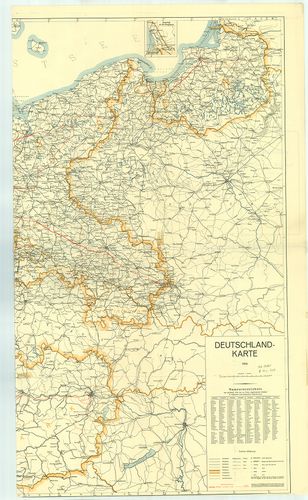
| Title | Deutschland-Karte. |
| Main title | 1 mt.: Memel vidéke. |
| Subject | Németország térképe 1939-ből. A kész és a tervezett autópályákkal. (Alaptérkép 1935. Helyesbítése 1939. január.) |
579. Militair Charte über den Schwartzwald. [B IV c 411]
Institute and Museum of Military History •
B IV c
•
B IV Német birodalom
•
B I–XV. Európa
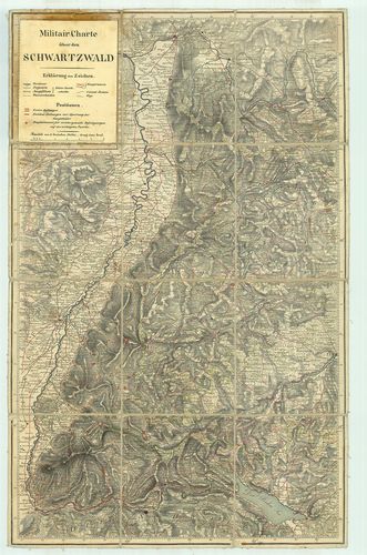
| Title | Militair Charte über den Schwartzwald. |
| Main title | A Fekete-erdő környékének katonai térképe. |
580. [Németország megszállási zónáinak térképe] [B IV c 423]
Institute and Museum of Military History •
B IV c
•
B IV Német birodalom
•
B I–XV. Európa
| Title | [Németország megszállási zónáinak térképe] |