501. Plan der Puchover, Vöresköuer und Vlarer zwischen Königreich... [B IX a 683/2]
Institute and Museum of Military History •
B IX a
•
B IX Ausztria–Magyarország
•
B I–XV. Európa
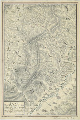
| Title | Plan der Puchover, Vöresköuer und Vlarer zwischen Königreich Ungarn und Margrafftum Mähren liegenden Pässe, samt accurater situation der benachbarten Gegeend… |
| Main title | A Magyar Királyság és a Morva Őrgrófság közötti hágók térképe. Bemutatja a Vöröskő-szoros (Puho, Puchov) térképét és Cosel várát az Odera mentén. |
502. Plan der Gegend um Oedenburg bis an die Oesterreichische Gra... [B IX a 684/2]
Institute and Museum of Military History •
B IX a
•
B IX Ausztria–Magyarország
•
B I–XV. Európa
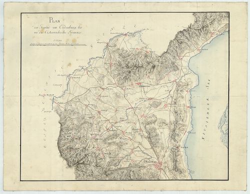
| Title | Plan der Gegend um Oedenburg bis an die Oesterreichische Graenze. |
| Main title | Sopron környékének térképe 1809 körül. |
503. A la vue Aufnahme der Gegend von Sümegh. [B IX a 684/4]
Institute and Museum of Military History •
B IX a
•
B IX Ausztria–Magyarország
•
B I–XV. Európa
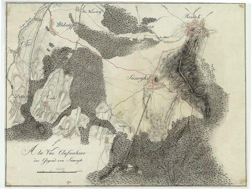
| Title | A la vue Aufnahme der Gegend von Sümegh. |
| Main title | Sümeg környékének szemmértékkel felmért topográfiai térképe 1809 körül. |
504. Das Aufgenohmen Plans von Tappe ober Szegedin bis zur Donau ... [B IX a 685]
Institute and Museum of Military History •
B IX a
•
B IX Ausztria–Magyarország
•
B I–XV. Európa
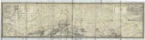
| Title | Das Aufgenohmen Plans von Tappe ober Szegedin bis zur Donau bey Salankement… |
| Main title | A Tisza vidékének topográfiai térképe 1739-ben. (Szegedtől–Ózalánkeménig, Slankamen.) |
505. Plan der Gegend um Toka˙. [B IX a 687/1]
Institute and Museum of Military History •
B IX a
•
B IX Ausztria–Magyarország
•
B I–XV. Európa
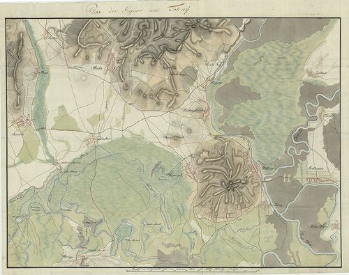
| Title | Plan der Gegend um Toka˙. |
| Main title | Tokaj és környékének topográfiai térképe 1809 körül. |
506. Montium vitiferorum utpote Tokaiensis Tarczal Tallya mad… [B IX a 688]
Institute and Museum of Military History •
B IX a
•
B IX Ausztria–Magyarország
•
B I–XV. Európa
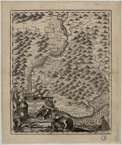
| Title | Montium vitiferorum utpote Tokaiensis Tarczal Tallya mad… |
| Main title | Tokaj, Tarcal, Tállya és Mád (Zemplén vármegye) térképe 1749-ben. |
507. Mappa della Transilvaniae che dimastre il suo stato e passi ... [B IX a 691]
Institute and Museum of Military History •
B IX a
•
B IX Ausztria–Magyarország
•
B I–XV. Európa
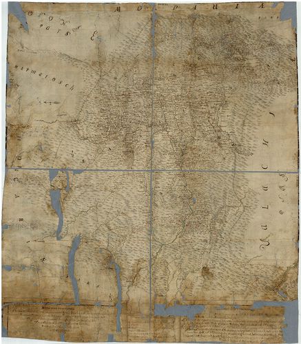
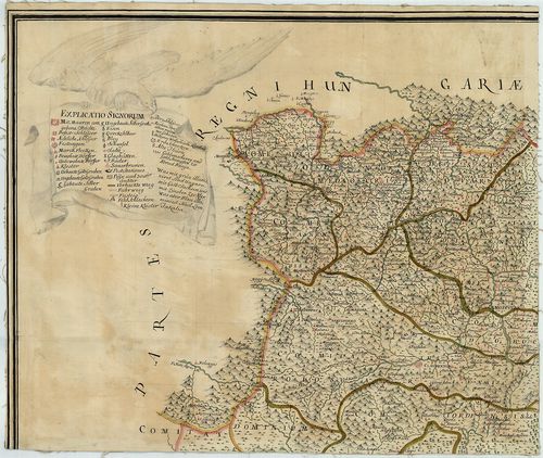
| Title | Mappa della Transilvaniae che dimastre il suo stato e passi ove puo entrare l’inimico dalla parte di Moldavia, Valachia, é Temesvarer Frontiere á queste Provincia. Marca in altre l’ingressi dalia partre dell’Ongaria communicationi dun luogho all’altro… |
| Main title | Erdély térképe a 18. században. |
508. Siebenbürgen II.-tes Blatt enthaltend die Südlichen Gespanns... [B IX a 692]
Institute and Museum of Military History •
B IX a
•
B IX Ausztria–Magyarország
•
B I–XV. Európa
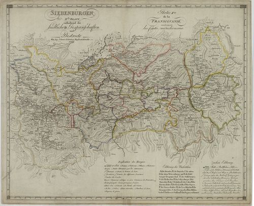
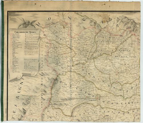
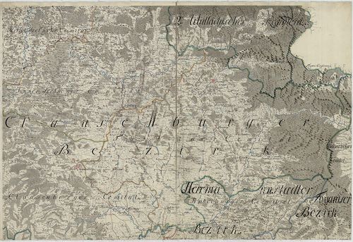
| Title | Siebenbürgen II.-tes Blatt enthaltend die Südlichen Gespannschaften und Districte. – Partie II.-me de la Transylvanie contenant les Comtes meridionaux. |
| Main title | Erdély D-i részének térképe 1826-ban. |
509. Nova et Accurata Geographica Mappa Daciae Mediterraneae seu ... [B IX a 700]
Institute and Museum of Military History •
B IX a
•
B IX Ausztria–Magyarország
•
B I–XV. Európa
| Title | Nova et Accurata Geographica Mappa Daciae Mediterraneae seu Moderni Principatus Transylvaniae. |
| Main title | Erdély térképe 1735-ben. |
510. Nova et accurata Geometrica Mappa Daciae Mediterraneae seu M... [B IX a 701]
Institute and Museum of Military History •
B IX a
•
B IX Ausztria–Magyarország
•
B I–XV. Európa
| Title | Nova et accurata Geometrica Mappa Daciae Mediterraneae seu Moderni Principatus Transylvaniae. |
| Main title | Erdély térképe 1745-ben. |
511. Transylvania, Siebenburgen. [B IX a 702]
Institute and Museum of Military History •
B IX a
•
B IX Ausztria–Magyarország
•
B I–XV. Európa
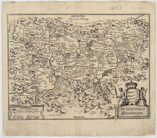
| Title | Transylvania, Siebenburgen. |
| Main title | Erdély térképe a 17. század végén. |
512. Principauté de Transilvanie Divisée en Cinq Nations Subdivis... [B IX a 703]
Institute and Museum of Military History •
B IX a
•
B IX Ausztria–Magyarország
•
B I–XV. Európa
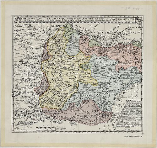
| Title | Principauté de Transilvanie Divisée en Cinq Nations Subdivisée en Qartiers et Comtez. |
| Main title | Erdély térképe 1691-ben, faximile kiadás. |
513. Generalkarte von Siebenbürgen… [B IX a 704]
Institute and Museum of Military History •
B IX a
•
B IX Ausztria–Magyarország
•
B I–XV. Európa
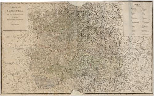
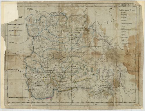
| Title | Generalkarte von Siebenbürgen… |
| Main title | Erdély általános térképe 1789-ben. |
514. Siebenbürgen Nach einer Karte… [B IX a 705]
Institute and Museum of Military History •
B IX a
•
B IX Ausztria–Magyarország
•
B I–XV. Európa
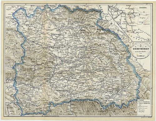
| Title | Siebenbürgen Nach einer Karte… |
| Main title | Mt. [Magyarország vasúthálózata.] |
| Subject | Erdély térképe a 1868 körül. |
515. Principatus Transilvaniae in suas quosque Nationes earumque ... [B IX a 706]
Institute and Museum of Military History •
B IX a
•
B IX Ausztria–Magyarország
•
B I–XV. Európa
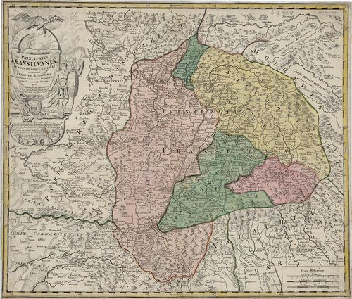
| Title | Principatus Transilvaniae in suas quosque Nationes earumque Sedes et Regiones cum finitimis vicinorum Statuum provinciis accurate divisus… |
| Main title | Erdély térképe a 18. század elején. |
516. Karte des Grossfürstenthums Siebenbürgen. [B IX a 708]
Institute and Museum of Military History •
B IX a
•
B IX Ausztria–Magyarország
•
B I–XV. Európa
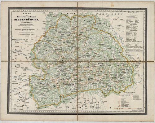
| Title | Karte des Grossfürstenthums Siebenbürgen. |
| Main title | Erdély térképe 1854-ben. |
517. Karte des Grossfürstenthumes Siebenbürgen. [B IX a 709]
Institute and Museum of Military History •
B IX a
•
B IX Ausztria–Magyarország
•
B I–XV. Európa
| Title | Karte des Grossfürstenthumes Siebenbürgen. |
| Main title | Erdély térképe 1841-ben. |
518. Topographische Special- und Post-Karte des Grossfürstenthums... [B IX a 710]
Institute and Museum of Military History •
B IX a
•
B IX Ausztria–Magyarország
•
B I–XV. Európa
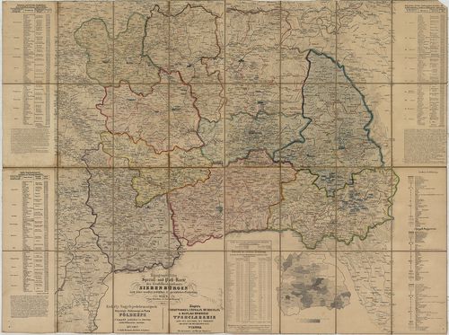
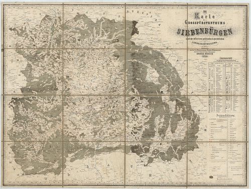
| Title | Topographische Special- und Post-Karte des Grossfürstenthums Siebenbürgen nach seiner neuesten politischen und gerichtlichen Eintheilung. – Erdély Nagyfejedelemségnek Helyszinű-Különnemű és Posta Földképe. A’ legújabb politikai és törvény széki felosztás szerint. – Kartă topografică specială si spostală a marelui Principat Transilvania după cea mai noua asaîm părtire politică si iudectorescă. |
519. General-Karte des Grossfürstenthums Siebenbürgen. [B IX a 711]
Institute and Museum of Military History •
B IX a
•
B IX Ausztria–Magyarország
•
B I–XV. Európa
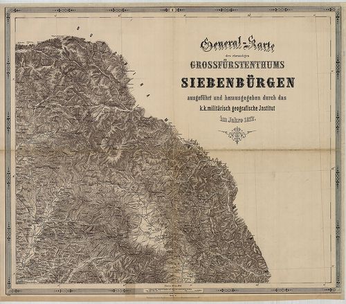
| Title | General-Karte des Grossfürstenthums Siebenbürgen. |
| Main title | Erdély általános térképe 1863-ban, a II. katonai felmérés alapján. |
520. Neue Situations Charte Gros Fürstenthums Siebenbürgen nebst ... [B IX a 715/1]
Institute and Museum of Military History •
B IX a
•
B IX Ausztria–Magyarország
•
B I–XV. Európa
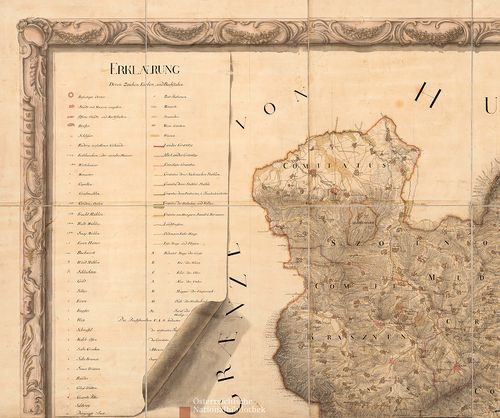
| Title | Neue Situations Charte Gros Fürstenthums Siebenbürgen nebst angraenzenden Theilen der Moldau und Walachey. |
| Main title | Az Erdélyi Nagyfejedelemség, valamint Moldva és Havasalföld vele határos részeinek térképe 1775 körül, az I. katonai felmérés alapján. |
521. Reducierte Karte des Grossfürstenthums Siebenbürgen. [B IX a 718]
Institute and Museum of Military History •
B IX a
•
B IX Ausztria–Magyarország
•
B I–XV. Európa
| Title | Reducierte Karte des Grossfürstenthums Siebenbürgen. |
| Main title | Erdély általános térképe a 18. század végén az I. katonai felmérés alapján. |
522. Administrativ Karte des Grossfürstenthums Siebenbürgen nach ... [B IX a 719]
Institute and Museum of Military History •
B IX a
•
B IX Ausztria–Magyarország
•
B I–XV. Európa
| Title | Administrativ Karte des Grossfürstenthums Siebenbürgen nach der neuesten Landeseintheilung 1859. |
| Main title | Erdély közigazgatási beosztásagának térképe térképe 1861-ben, részben a II. katonai felmérés alapján. |
523. …Karte von Siebenbürgen. [B IX a 720]
Institute and Museum of Military History •
B IX a
•
B IX Ausztria–Magyarország
•
B I–XV. Európa
| Title | …Karte von Siebenbürgen. |
| Main title | Erdély térképe. |
524. Az Erdélyi részek kézi térképe. [B IX a 722]
Institute and Museum of Military History •
B IX a
•
B IX Ausztria–Magyarország
•
B I–XV. Európa
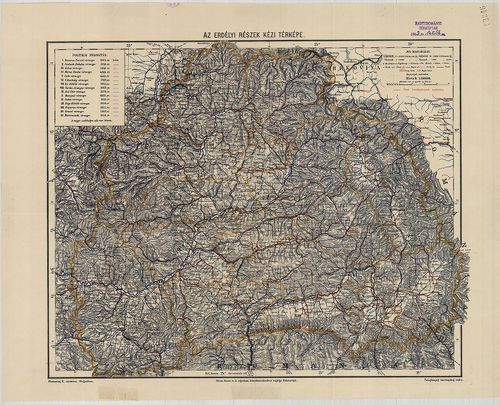
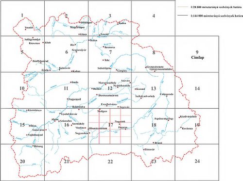
| Title | Az Erdélyi részek kézi térképe. |
525. Galizien, Nord Ungarn und ein Theil von Siebenbürgen. [B IX a 722/1]
Institute and Museum of Military History •
B IX a
•
B IX Ausztria–Magyarország
•
B I–XV. Európa
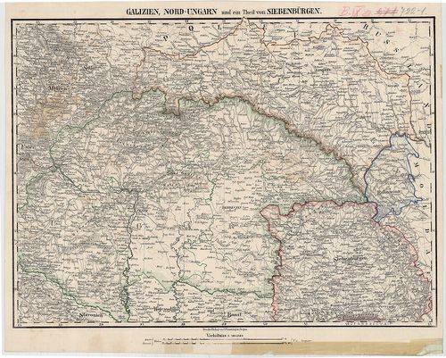
| Title | Galizien, Nord Ungarn und ein Theil von Siebenbürgen. |
| Main title | Észak-Magyarország, Galícia és Erdély egy részének térképe 1850 körül. |
526. Uebersichts-Karte des Grossfürstenthums Siebenbürgen nach de... [B IX a 722/2]
Institute and Museum of Military History •
B IX a
•
B IX Ausztria–Magyarország
•
B I–XV. Európa
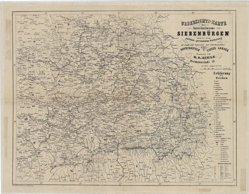
| Title | Uebersichts-Karte des Grossfürstenthums Siebenbürgen nach der neuen politisch-gerichtlichen Eintheilung… |
| Main title | Az Erdélyi Nagyfejedelemség áttekintő térképe a 19. század közepén. |
527. Geographische Mappe des Gross-Fürstenthums Siebenbürgen. [B IX a 722/3]
Institute and Museum of Military History •
B IX a
•
B IX Ausztria–Magyarország
•
B I–XV. Európa
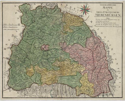
| Title | Geographische Mappe des Gross-Fürstenthums Siebenbürgen. |
| Main title | Az Erdélyi Nagyfejedelemség földrajzi térképe 1784-ben. |
528. Nova Principatus Transilvaniae Tabula … [B IX a 722/4]
Institute and Museum of Military History •
B IX a
•
B IX Ausztria–Magyarország
•
B I–XV. Európa
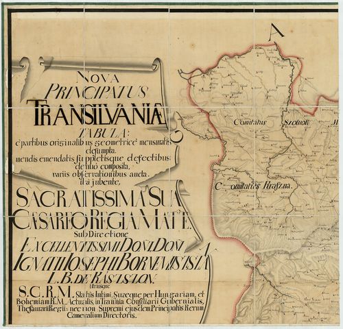
| Title | Nova Principatus Transilvaniae Tabula … |
| Main title | Erdély térképe. |
529. Ost-Ungarn Siebenbürgisch-Rumänische Grenze. – Bukovina bis ... [B IX a 723/1]
Institute and Museum of Military History •
B IX a
•
B IX Ausztria–Magyarország
•
B I–XV. Európa
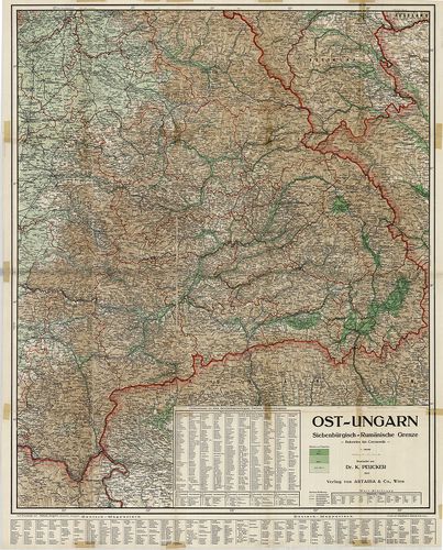
| Title | Ost-Ungarn Siebenbürgisch-Rumänische Grenze. – Bukovina bis Czernowitz. |
| Main title | Kelet-Magyarország, erdélyi-román határ. |
530. 2 térkép: 1.Erdély közigazgatási térképe 1847-ben. – Carte A... [B IX a 724]
Institute and Museum of Military History •
B IX a
•
B IX Ausztria–Magyarország
•
B I–XV. Európa
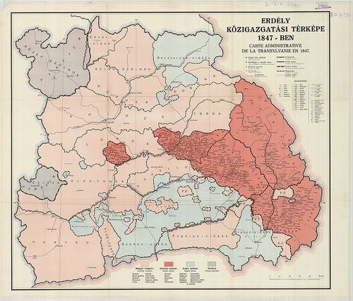
| Title | 2 térkép: 1.Erdély közigazgatási térképe 1847-ben. – Carte Administrative de la Transylvanie en 1847. |
| Main title | 2. térkép: Erdély közigazgatási térképe 1847-ben. – Carte de l’Administration de la Transilvanie en 1847. – Map of Transylvania According to her Administrative Structure in 1847. |
531. Regiones Danubianae Pannoniae Dacia, Moesiae. [B IX a 741]
Institute and Museum of Military History •
B IX a
•
B IX Ausztria–Magyarország
•
B I–XV. Európa
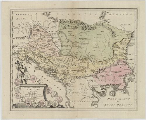
| Title | Regiones Danubianae Pannoniae Dacia, Moesiae. |
| Main title | Duna menti Magyarország, Erdély, Észak-Balkán területe. |
532. Erdély legújabb térképe. – Borítócím.: A Magyar Szent Korona... [B IX a 745]
Institute and Museum of Military History •
B IX a
•
B IX Ausztria–Magyarország
•
B I–XV. Európa
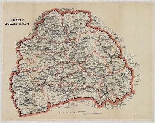
| Title | Erdély legújabb térképe. – Borítócím.: A Magyar Szent Korona Országai Erdély részének kézitérképe közigazgatási és közlekedési beosztással. |
533. Die Kaiserl. Königl. Militairgrenze… [B IX a 751]
Institute and Museum of Military History •
B IX a
•
B IX Ausztria–Magyarország
•
B I–XV. Európa
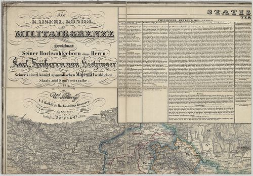
| Title | Die Kaiserl. Königl. Militairgrenze… |
| Main title | 2 mt. 1. Vergleichende Übersicht der dieser Karte vorkommenden Flüsse und Seen, erstere nach ihren Lauflängen geordnet. (A Duna Mehádia és Titel közötti szakasza mellékfolyói hosszúságának egybevetése.) 2. Trigonometrisch gemessene Höhen in und längs der Militairgrenze. (A határőrvidék hegyeinek madártávlati képe és trigonometriailag mért magassága.) |
| Subject | Horvát–Szlavónia, a Katonai Határőrvidék és Erdély térképe. |
534. Karte von Croatien und Slavonien nebst der K. u. K. Militär ... [B IX a 753]
Institute and Museum of Military History •
B IX a
•
B IX Ausztria–Magyarország
•
B I–XV. Európa
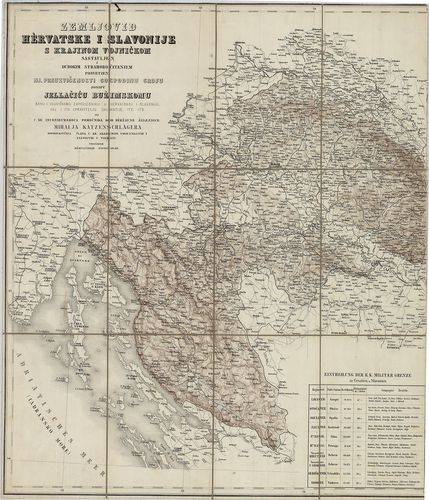
| Title | Karte von Croatien und Slavonien nebst der K. u. K. Militär Grenze… – Zemljovid Hérvarske i Szlavonije s Krajinom Vojnickom … |
| Main title | Horvátország, Szlavónia és a Katonai Határőrvidék térképe 1856-ban. |
535. Charte von Kroatien, enthaltend die Agramer, Warasdiner und ... [B IX a 760]
Institute and Museum of Military History •
B IX a
•
B IX Ausztria–Magyarország
•
B I–XV. Európa
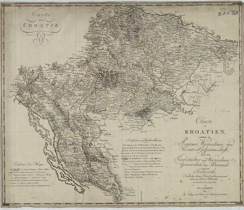
| Title | Charte von Kroatien, enthaltend die Agramer, Warasdiner und Kreutzer Gespannschaft, nebst dem Karlstädter und Warasdiner Generalat dem Bannal und dem Seebezirk. – Carta de la Croatie. |
| Main title | Horvátország térképe 1803-ban. |
536. Charte von dem Königreiche Kroazien. [B IX a 761]
Institute and Museum of Military History •
B IX a
•
B IX Ausztria–Magyarország
•
B I–XV. Európa
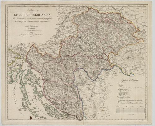
| Title | Charte von dem Königreiche Kroazien. |
| Main title | A Horvát Királyság térképe 1808-ban. |
537. General-Karte von Krain. [B IX a 763]
Institute and Museum of Military History •
B IX a
•
B IX Ausztria–Magyarország
•
B I–XV. Európa
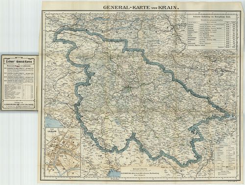
| Title | General-Karte von Krain. |
| Main title | Mt. Plan von Laibach. (Ljubljana várostérképe.) |
| Subject | Krajna általános térképe 1906 körül. |
538. Karte der Wojwodschaft Serbien und des Temescher Banates neb... [B IX a 772]
Institute and Museum of Military History •
B IX a
•
B IX Ausztria–Magyarország
•
B I–XV. Európa
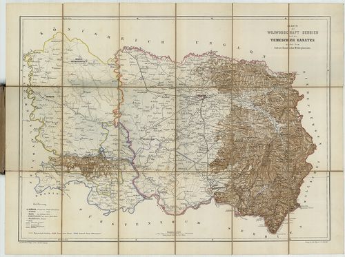
| Title | Karte der Wojwodschaft Serbien und des Temescher Banates nebst dem Serbisch-Banatischen Militärgränzlande. |
| Main title | A Szerb Vajdaság és a Temesi Bánság áttekintő térképe 1860 körül. |
539. Geripp-Karte des Territoriums der XXII. Truppen Division zu ... [B IX a 795]
Institute and Museum of Military History •
B IX a
•
B IX Ausztria–Magyarország
•
B I–XV. Európa
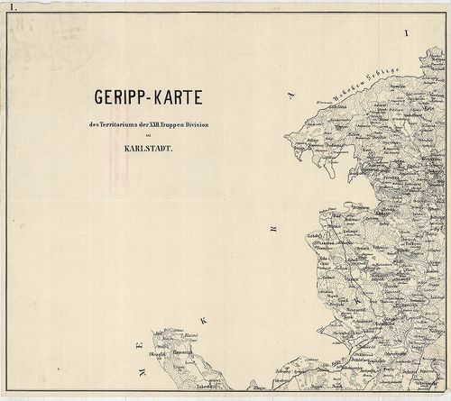
| Title | Geripp-Karte des Territoriums der XXII. Truppen Division zu Karlstadt. |
| Main title | Horvátország: a károlyvárosi hadosztály XXII. divizió területének térképe 1870 körül. |
540. Reise und Influenz-Karte der Eil-Post und Brancard-Wagen-Cou... [B IX a 795/a]
Institute and Museum of Military History •
B IX a
•
B IX Ausztria–Magyarország
•
B I–XV. Európa
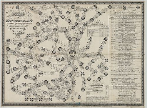
| Title | Reise und Influenz-Karte der Eil-Post und Brancard-Wagen-Course in den Oesterreischen Kaiserstaate. |
| Main title | Az Osztrák Császárság postakocsi forgalmi és szállítási térképe 1827-ben, fontos csatl. csomópontok jelölése. |
541. Neueste Postkarte der Oesterreichischen Monarchie. [B IX a 795/b]
Institute and Museum of Military History •
B IX a
•
B IX Ausztria–Magyarország
•
B I–XV. Európa
| Title | Neueste Postkarte der Oesterreichischen Monarchie. |
| Main title | Az Osztrák Monarchia postatérképe a 19. század elején. |
542. Der Lauf des Donau Stroms von Wien bis an das Schwarze Meer ... [B IX a 795/c]
Institute and Museum of Military History •
B IX a
•
B IX Ausztria–Magyarország
•
B I–XV. Európa
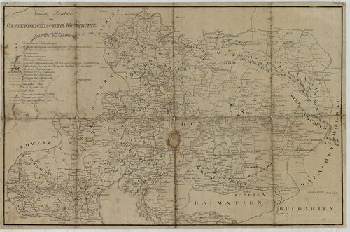
| Title | Der Lauf des Donau Stroms von Wien bis an das Schwarze Meer oder Neuester Kriegschauplatz zwischen Oesterreich und der Pforte welcher das Koenigreich Ungarn, Sclavonien, Sirymien, Siebenbürgen, Bukowina, Croatien, Dalmatien, Bosnien, Servien, Bulgarien, die Walachei, Bessarabien die Ukraine Galizien, Maehren, Oesterreichs und Steyermark etc. enthält. – Le Cours du Danube depuis Vienne jusqu’ á son embouchure dans la Mer Noire ou nouvelle Carte du Theatre de lá guerre entre l’Autriche et la Turquie… |
| Main title | A Duna menti országok térképe 1800 körül. (Bécstől a Fekete-tengerig.) |
543. Tekéntetes Nemes Baranya Vármegyében helyheztetett Dárdai Ur... [B IX a 795/d]
Institute and Museum of Military History •
B IX a
•
B IX Ausztria–Magyarország
•
B I–XV. Európa
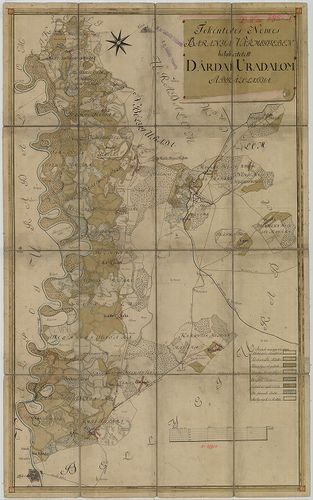
| Title | Tekéntetes Nemes Baranya Vármegyében helyheztetett Dárdai Urodalom Ábrázolattya. |
544. Plan des I.-ten [ersten] Banal Gränz Regiments. No. 10. [B IX a 844]
Institute and Museum of Military History •
B IX a
•
B IX Ausztria–Magyarország
•
B I–XV. Európa
| Title | Plan des I.-ten [ersten] Banal Gränz Regiments. No. 10. |
| Main title | Az I. báni határőrezred területének térképe a 18. század végén, az I. katonai felmérés alapján. |
545. Comitatus Varasdiensis. [B IX a 858]
Institute and Museum of Military History •
B IX a
•
B IX Ausztria–Magyarország
•
B I–XV. Európa
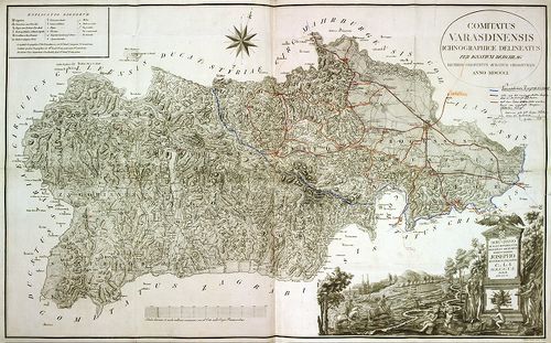
| Title | Comitatus Varasdiensis. |
| Main title | Varasd vármegye térképe 1802-ben. |
546. Mappa doecesis Zagrabiensis. Per Inclytos Comitatus Zagrabie... [B IX a 862]
Institute and Museum of Military History •
B IX a
•
B IX Ausztria–Magyarország
•
B I–XV. Európa
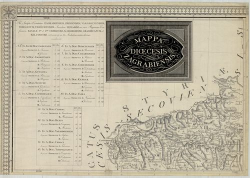
| Title | Mappa doecesis Zagrabiensis. Per Inclytos Comitatus Zagrabiensem, Crisiensem, Varasdiensem, Poseganum, Veröczensem, Insulam Muraköz, nec non Regimina Confiniaria Banale I.-um et 2.-um Crisiense, S. Georgiense, Gradiscanum, et Szluiense extensae, ac in 15. archidiaconatus divisae, scilicet. |
| Main title | A Zagrabi egyházmegye térképe 1822-ben. |
547. Charte von Slavonien enthaltend die Poscheganer, Werowitzer ... [B IX a 871]
Institute and Museum of Military History •
B IX a
•
B IX Ausztria–Magyarország
•
B I–XV. Európa
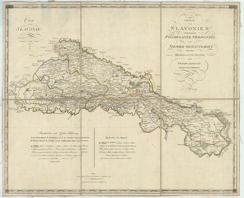
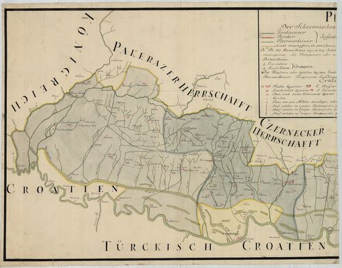
| Title | Charte von Slavonien enthaltend die Poscheganer, Werowitzer und Syrmier Gespannschaft nebst den Gradiscaner, Broder und Peterwardeiner Militair Gränz Districten. – Carte de la Slavonie. |
| Main title | Szlavónia - Pozsega, Verőce, Szerém vármegye és a Katonai Határőrvidék: Gradiska, Brod, Pétervárad-kerület térképe 1803-ban. |
548. Tabula Geographica nova et exacta distincte exhibens Regnum ... [B IX a 873]
Institute and Museum of Military History •
B IX a
•
B IX Ausztria–Magyarország
•
B I–XV. Európa
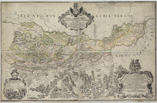
| Title | Tabula Geographica nova et exacta distincte exhibens Regnum Sclavoniae cum Syrmii Ducatu quod fluviis Savi Illovae Dravi et Danubii alluitur eius Provintiae Conterminae sunt Regnum Hungariae Croatiae Bosniae Serviae et Bannatus Temeswariensis. |
| Main title | Szlavónia földrajzi térképe (Gradatz-tól, Gjurgevac – Belgrádig, Beograd.) 1718-ban. |
549. Plan der Sclavonischen Granitz Regimentern. [B IX a 882]
Institute and Museum of Military History •
B IX a
•
B IX Ausztria–Magyarország
•
B I–XV. Európa
| Title | Plan der Sclavonischen Granitz Regimentern. |
| Main title | A Szlavónia Határőrezred területének térképe a 18. században. |
550. Tabula Geographica exhibens Regnum Sclavoniae cum Syrmii Duc... [B IX a 883]
Institute and Museum of Military History •
B IX a
•
B IX Ausztria–Magyarország
•
B I–XV. Európa
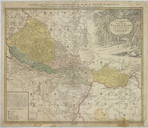
| Title | Tabula Geographica exhibens Regnum Sclavoniae cum Syrmii Ducatu. – Carte du Royaume d’Esclavonie et du Duche de Syrmie… |
| Main title | Szlavónia és a Szerémség térképe 1745-ben. |
551. Karte von der Total Laage des Löbl: Slavonischen Broodae Inf... [B IX a 888]
Institute and Museum of Military History •
B IX a
•
B IX Ausztria–Magyarország
•
B I–XV. Európa
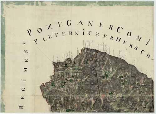
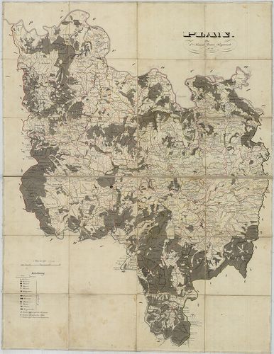
| Title | Karte von der Total Laage des Löbl: Slavonischen Broodae Infanterie Regiment. |
| Main title | Szlavónia: a Brodi Határőrezred területének topográfiai térképe a 18. században, az I. kat. felm. alapján. |
552. Karte von Croatien und Slavonien. – Zemljovid Hérvatske i Sl... [B IX a 890/1]
Institute and Museum of Military History •
B IX a
•
B IX Ausztria–Magyarország
•
B I–XV. Európa
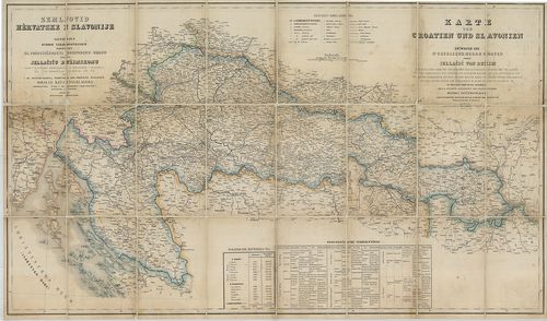
| Title | Karte von Croatien und Slavonien. – Zemljovid Hérvatske i Slavonije. |
| Main title | Horváth-Szlavónia térképe 1882-ben. |
553. Koenigreich Slavonien. [B IX a 890/3]
Institute and Museum of Military History •
B IX a
•
B IX Ausztria–Magyarország
•
B I–XV. Európa
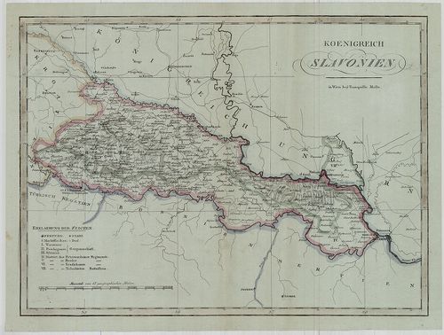
| Title | Koenigreich Slavonien. |
| Main title | A Szlavón Királyság térképe az 1800-as évek elején. (Jasenovac–Beograd között.) |
554. Iustissimiae Causae Heroica Virtute propugnatae, gloriasis: ... [B IX a 890/4]
Institute and Museum of Military History •
B IX a
•
B IX Ausztria–Magyarország
•
B I–XV. Európa
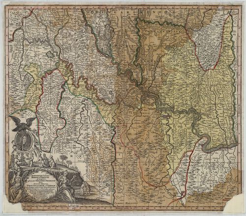
| Title | Iustissimiae Causae Heroica Virtute propugnatae, gloriasis: Triumphi Praemium. Sive Accurata delineatio Provinciarum et Urbium, Quae duabus celeberrimis Expeditionibus Iusto Domino ac Viktori restitutae et Pace Passarowiensi. A. 1718. |
| Main title | Az osztrák–török határvidék térképe az 1718. évi pozsareváci békekötés után, határvonal és tartományi színezéssel. |
555. Horvát-Szlavon Ország. [B IX a 890/5]
Institute and Museum of Military History •
B IX a
•
B IX Ausztria–Magyarország
•
B I–XV. Európa
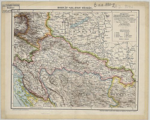
| Title | Horvát-Szlavon Ország. |
556. [A Szlavon Határőrvidék és a Temesi-Bánság déli része.] [B IX a 892]
Institute and Museum of Military History •
B IX a
•
B IX Ausztria–Magyarország
•
B I–XV. Európa
| Title | [A Szlavon Határőrvidék és a Temesi-Bánság déli része.] |
557. Das Gradiskaner Grenz-Regiment. [B IX a 905]
Institute and Museum of Military History •
B IX a
•
B IX Ausztria–Magyarország
•
B I–XV. Európa
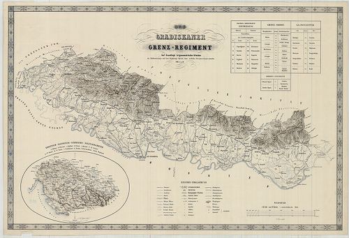
| Title | Das Gradiskaner Grenz-Regiment. |
| Main title | Mt. Kroatisch, Slavonische, Syrmische, Militaer-Grenze. (Horvát-Szlavónia és a Szerémség határőrvidéke.) |
| Subject | Szlavónia: A Gradiškai határőrezred területének térképe a 19. században. |
558. Le Royaume de Bosnie … – Carte Originale et particuliere de ... [B IX a 925]
Institute and Museum of Military History •
B IX a
•
B IX Ausztria–Magyarország
•
B I–XV. Európa
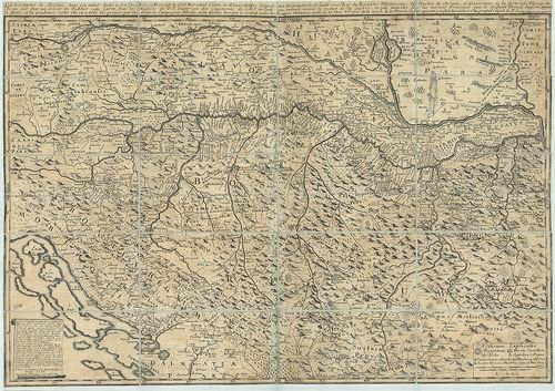
| Title | Le Royaume de Bosnie … – Carte Originale et particuliere de la Bosnie … dans le monde, avec la Croatie, L’esclavonie, la Morlaquie, partie de L’hongria, Stirie, Comté de Cilley, Carenthie, Carniole, parties des Confins maritimes, partie de la D’almatie, Servie, et de L’albanie. |
| Main title | Horvát-Szlavónia és Bosznia térképe 1738-ban. |
559. Bosnien und Dalmatien. [B IX a 930]
Institute and Museum of Military History •
B IX a
•
B IX Ausztria–Magyarország
•
B I–XV. Európa
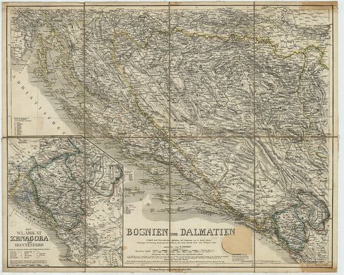
| Title | Bosnien und Dalmatien. |
| Main title | Mt. Das Wladikat Zrnagora oder Montenegro. (Montenegró.) |
| Subject | Bosznia és Dalmácia térképe 1851-ben. |
560. Karte der Hercegovina und Crnagora. [B IX a 931]
Institute and Museum of Military History •
B IX a
•
B IX Ausztria–Magyarország
•
B I–XV. Európa
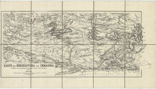
| Title | Karte der Hercegovina und Crnagora. |
| Main title | Hercegovina és Montenegro térképe 1862-ben. |
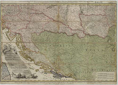
561. Das Koenigriech Bosnien und die Herzegovina (Rama) samt den ... [B IX a 935]
Institute and Museum of Military History •
B IX a
•
B IX Ausztria–Magyarország
•
B I–XV. Európa
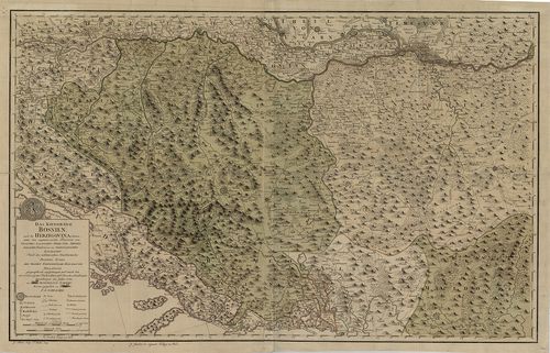
| Title | Das Koenigriech Bosnien und die Herzegovina (Rama) samt den angraenzenden Provinzen von Croatien, Sclavonien, Temesvar, Servien, Albanien, Ragusa und dem Venetianischen Dalmatien. |
| Main title | Bosznia–Hercegovina–Horvátország, Szlavónia, Szerbia, Albánia, Ragusa és Dalmácia térképe 1788-ban. |
562. Geometrische Carte von Türkisch Croatien der Herzegovina und... [B IX a 936]
Institute and Museum of Military History •
B IX a
•
B IX Ausztria–Magyarország
•
B I–XV. Európa
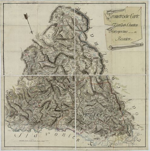
| Title | Geometrische Carte von Türkisch Croatien der Herzegovina und einem Theil von Bosnien. |
| Main title | Bosznia–Hercegovina török fennhatóság alatti területének általános térképe a 18. század közepén. (Gradiška–Brod–Mostar között.) |
563. Karte der Herzegowina. [B IX a 938]
Institute and Museum of Military History •
B IX a
•
B IX Ausztria–Magyarország
•
B I–XV. Európa
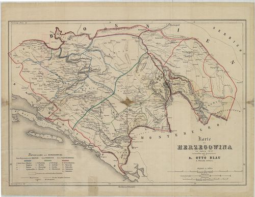
| Title | Karte der Herzegowina. |
| Main title | Hercegovina térképe 1861-ben. |
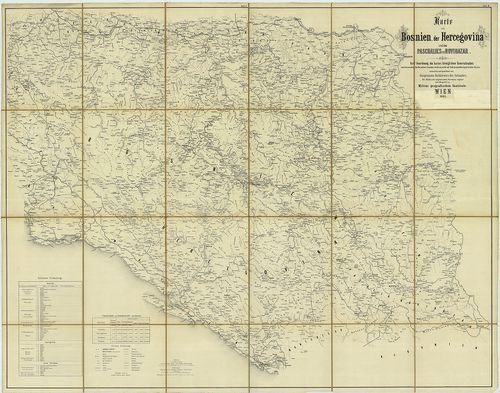
564. Karte von Bosnien, der Hercegovina und des Paschaliks von No... [B IX a 939]
Institute and Museum of Military History •
B IX a
•
B IX Ausztria–Magyarország
•
B I–XV. Európa
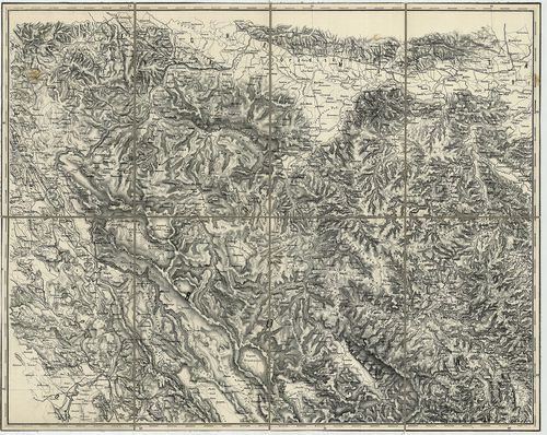
| Title | Karte von Bosnien, der Hercegovina und des Paschaliks von Novibazar. |
| Main title | Bosznia, Hercegovina és Novi Bazar (Novi Pazar) térképe 1865-ben. |
565. Karte von Bosnien, der Hercegovina und des Paschaliks von No... [B IX a 940]
Institute and Museum of Military History •
B IX a
•
B IX Ausztria–Magyarország
•
B I–XV. Európa
| Title | Karte von Bosnien, der Hercegovina und des Paschaliks von Novibazar. |
| Main title | Bosznia, Hercegovina és Novibazar (Novi Pazar) térképe 1865-ben. |
566. General Karte von Bosnien und der Hercegovina. [B IX a 943]
Institute and Museum of Military History •
B IX a
•
B IX Ausztria–Magyarország
•
B I–XV. Európa
| Title | General Karte von Bosnien und der Hercegovina. |
| Main title | Bosznia és Hercegovina általános térképe 1885-ben. |
567. Neueste Karte der Koenigreiche Bosnien Servien Croatien und ... [B IX a 944]
Institute and Museum of Military History •
B IX a
•
B IX Ausztria–Magyarország
•
B I–XV. Európa
| Title | Neueste Karte der Koenigreiche Bosnien Servien Croatien und Slavonien… |
| Main title | Bosznia, Szerbia, Horvát-Szlavónia és a szomszédos államok térképe 1788-ban. |
568. Karte des südöstlichen Theiles des occupations Gebietes. [B IX a 966]
Institute and Museum of Military History •
B IX a
•
B IX Ausztria–Magyarország
•
B I–XV. Európa
| Title | Karte des südöstlichen Theiles des occupations Gebietes. |
| Main title | DK-Bosznia megszállt területének térképe 1881-ben. |
569. Süd Dalmatien und die angrenzenden Theile der Hercegovina, M... [B IX a 967]
Institute and Museum of Military History •
B IX a
•
B IX Ausztria–Magyarország
•
B I–XV. Európa
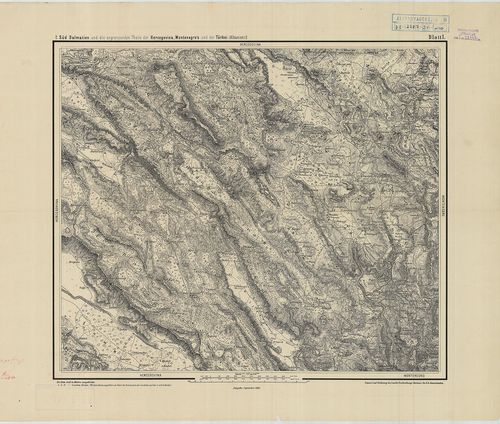
| Title | Süd Dalmatien und die angrenzenden Theile der Hercegovina, Montenegro’s und der Türkei (Albanien.) |
| Main title | D-Dalmácia és a szomszédos Hercegovina, Montenegró és Török-Albánia általános térképe 1883-ban. |
570. Magyarhonnak és az ahhoz kapcsolt részeknek politikai földké... [B IX a 981]
Institute and Museum of Military History •
B IX a
•
B IX Ausztria–Magyarország
•
B I–XV. Európa
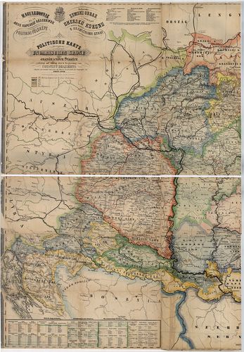
| Title | Magyarhonnak és az ahhoz kapcsolt részeknek politikai földképe. – Politische Karte aller Lander der ungarischen Krone nebst angernzenden Staaten… – Politicki Zemski Obraz všeckich pod Uhersku Korunu patricich Kragnach s Hraničnima Stavi. |
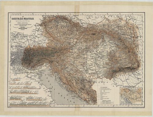
571. Österreichisch-Ungarische Monarchie. [B IX a 984]
Institute and Museum of Military History •
B IX a
•
B IX Ausztria–Magyarország
•
B I–XV. Európa
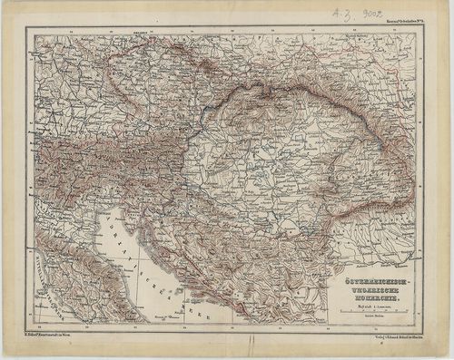
| Title | Österreichisch-Ungarische Monarchie. |
| Main title | Az Osztrák–Magyar Monarchia térképe 1870 körül. |
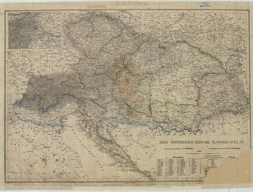
572. Der Österreichische Kaiserstaat. [B IX a 985]
Institute and Museum of Military History •
B IX a
•
B IX Ausztria–Magyarország
•
B I–XV. Európa
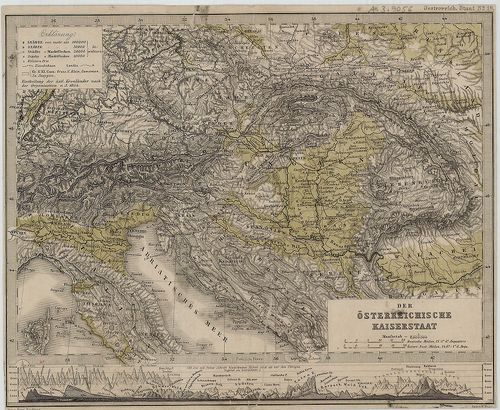
| Title | Der Österreichische Kaiserstaat. |
| Main title | Mt. [A Birodalom hegységeinek madártávlatos képe és magassága.] Österreich Staat No. 1/a. lapja. |
| Subject | Az Osztrák Császárság térképe 1854-ben. |
573. Magyarország és Ausztria. (Politikai, átnézet és a fő közlek... [B IX a 986]
Institute and Museum of Military History •
B IX a
•
B IX Ausztria–Magyarország
•
B I–XV. Európa
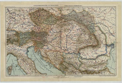
| Title | Magyarország és Ausztria. (Politikai, átnézet és a fő közlekedési utak.) |
574. Az Osztrák–Magyar Monarchia kézi abrosza. [B IX a 986/1]
Institute and Museum of Military History •
B IX a
•
B IX Ausztria–Magyarország
•
B I–XV. Európa
| Title | Az Osztrák–Magyar Monarchia kézi abrosza. |
| Main title | Mt. A hegysorok nevei és a folyók áttekintése. |
575. Der Österreichische Kaiser-Staat. [B IX a 986/2]
Institute and Museum of Military History •
B IX a
•
B IX Ausztria–Magyarország
•
B I–XV. Európa
| Title | Der Österreichische Kaiser-Staat. |
| Main title | Mt. Umgegend von Wien. (Bécs és környéke.) |
| Subject | Az Osztrák Császárság térképe 1850 körül. |
576. Das Königreich Ungarn mit seinen nebenländern und Galizien. [B IX a 987]
Institute and Museum of Military History •
B IX a
•
B IX Ausztria–Magyarország
•
B I–XV. Európa
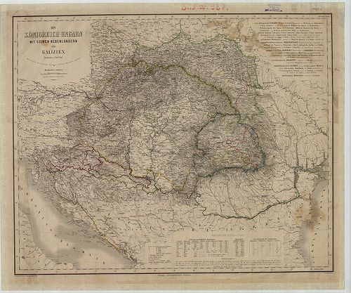
| Title | Das Königreich Ungarn mit seinen nebenländern und Galizien. |
| Main title | A Magyar Királyság és a szomszédos országok, valamint Galícia térképe 1865-ben. |
577. Magyarország, Szerb Vajdaság és Temesi Bánság, Erdély, Horvá... [B IX a 988]
Institute and Museum of Military History •
B IX a
•
B IX Ausztria–Magyarország
•
B I–XV. Európa
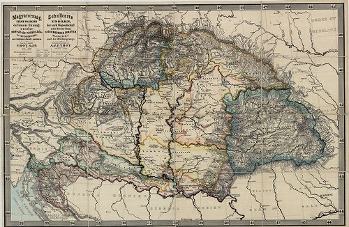
| Title | Magyarország, Szerb Vajdaság és Temesi Bánság, Erdély, Horvát- és Tótország és Határőrvidéknek térképe, iskolák számára. – Schulkarte von Ungarn, der serb. Wojvodschaft. u. dem Temeser Banat, Siebenbürgen, Croatien, Slavonien und der Militergränze. |
578. Szent István Koronájához tartozó Országoknak térképe. [B IX a 989]
Institute and Museum of Military History •
B IX a
•
B IX Ausztria–Magyarország
•
B I–XV. Európa
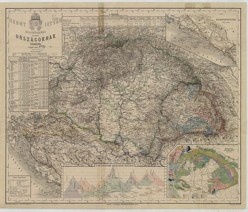
| Title | Szent István Koronájához tartozó Országoknak térképe. |
| Main title | 3 mt.: 1. Dalmátországnak déli része. 2. A nevezetesebb magasságok átnézete. 3. Magyarország földismei [geol.] átnézete. Jelm. Címerd. A népesség nemeztiségek és vallásfelekezetek szerinti tábl. |
579. Az Osztrák–Magyar Birodalom fali abrosza. [B IX a 990]
Institute and Museum of Military History •
B IX a
•
B IX Ausztria–Magyarország
•
B I–XV. Európa
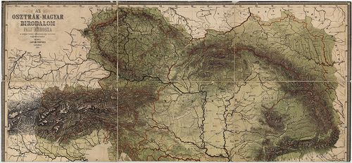
| Title | Az Osztrák–Magyar Birodalom fali abrosza. |
| Main title | Mt.: [Az Osztrák–Magyar Birodalom vízrajzi térképe. M. 1:2 500 000.] Jelm. Hg. keresztmetsz. és magassági tábl. |
580. A Magyar Korona Országai. [B IX a 991]
Institute and Museum of Military History •
B IX a
•
B IX Ausztria–Magyarország
•
B I–XV. Európa
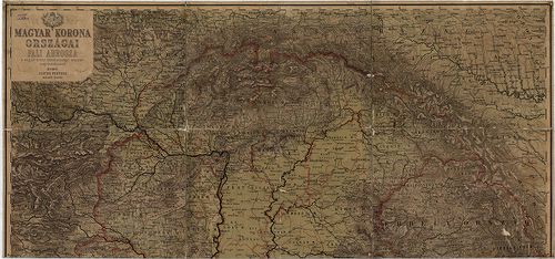
| Title | A Magyar Korona Országai. |
581. A Magyar Szt[ent] Korona Országainak Közigazgatási és közlek... [B IX a 994]
Institute and Museum of Military History •
B IX a
•
B IX Ausztria–Magyarország
•
B I–XV. Európa
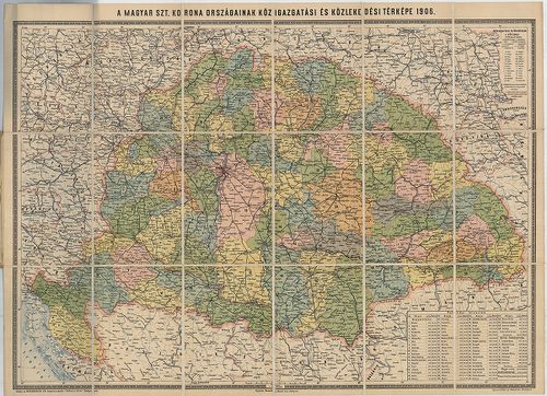
| Title | A Magyar Szt[ent] Korona Országainak Közigazgatási és közlekedési térképe 1906, 1911. |
582. Horváth és Tóth Ország vármegyéi. [B IX a 995]
Institute and Museum of Military History •
B IX a
•
B IX Ausztria–Magyarország
•
B I–XV. Európa
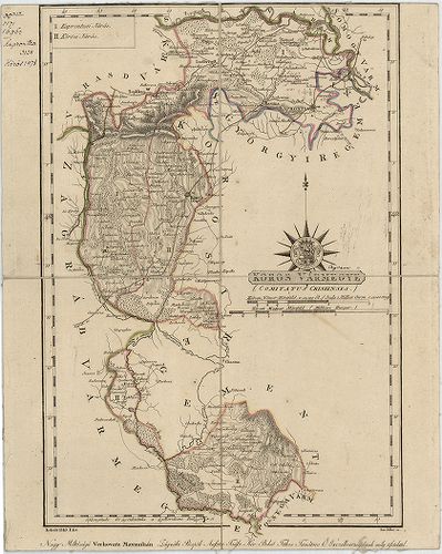
| Title | Horváth és Tóth Ország vármegyéi. |
| Main title | 1. Kőrös vm. (Comitatus Crisiensis.) |
| Subject | 2. Pósega vm. (Comitatus Poseganus.) |
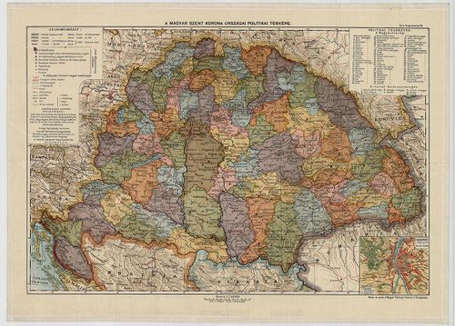
583. A Magyar Szent Korona Országainak iskolai falitérképe… [B IX a 1000]
Institute and Museum of Military History •
B IX a
•
B IX Ausztria–Magyarország
•
B I–XV. Európa
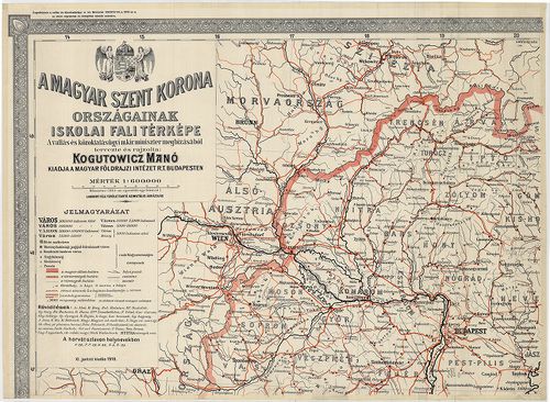
| Title | A Magyar Szent Korona Országainak iskolai falitérképe… |
| Main title | Mt. Budapest Székes Főváros egész területének térképe. |
584. Magyarország közigazgatási térképe. [B IX a 1001]
Institute and Museum of Military History •
B IX a
•
B IX Ausztria–Magyarország
•
B I–XV. Európa
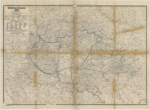
| Title | Magyarország közigazgatási térképe. |
585. A Magyar Szent Korona Országai a Trianoni béke előtt és után... [B IX a 1002]
Institute and Museum of Military History •
B IX a
•
B IX Ausztria–Magyarország
•
B I–XV. Európa
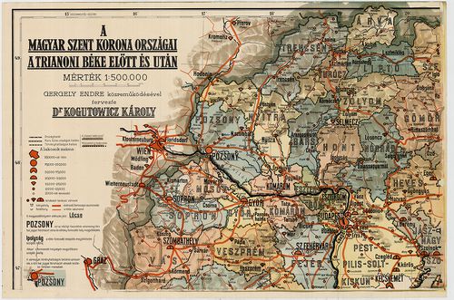
| Title | A Magyar Szent Korona Országai a Trianoni béke előtt és után. |
586. Magyarország vármegyéi. (Horvátországgal együtt.) [B IX a 1005]
Institute and Museum of Military History •
B IX a
•
B IX Ausztria–Magyarország
•
B I–XV. Európa
| Title | Magyarország vármegyéi. (Horvátországgal együtt.) |
587. Magyarország vármegyéi földadókataszteri beosztásának átnéze... [B IX a 1006]
Institute and Museum of Military History •
B IX a
•
B IX Ausztria–Magyarország
•
B I–XV. Európa
| Title | Magyarország vármegyéi földadókataszteri beosztásának átnézeti vázlata. (A trianoni határ jelöléssel.) |
588. Magyarország közigazgatási térképe. 3 térkép. [B IX a 1007]
Institute and Museum of Military History •
B IX a
•
B IX Ausztria–Magyarország
•
B I–XV. Európa
| Title | Magyarország közigazgatási térképe. 3 térkép. |
589. Szatmár vármegye közigazgatási és földmívelési térképe. [B IX a 1008]
Institute and Museum of Military History •
B IX a
•
B IX Ausztria–Magyarország
•
B I–XV. Európa
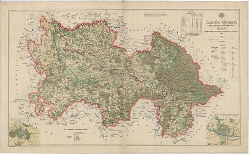
| Title | Szatmár vármegye közigazgatási és földmívelési térképe. |
| Main title | 2 mt. 1. Nagykároly (Carei) 2. Szatmár-Németi (Satu-Mare) és környéke. |
590. Karte des Königreichs Ungarn 1556. „Regni Hungariae Descript... [B IX a 1011/1]
Institute and Museum of Military History •
B IX a
•
B IX Ausztria–Magyarország
•
B I–XV. Európa
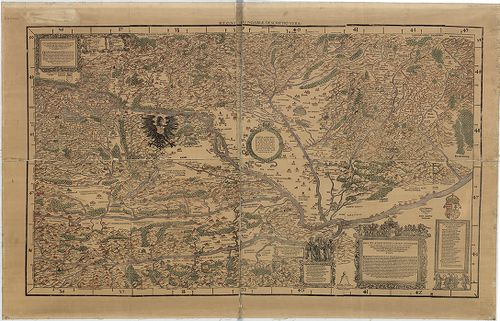
| Title | Karte des Königreichs Ungarn 1556. „Regni Hungariae Descriptio Vera" |
| Main title | A Magyar Királyság térképe 1556-ban. |
591. A Magyar Állam áttekintési földképe. [B IX a 1017]
Institute and Museum of Military History •
B IX a
•
B IX Ausztria–Magyarország
•
B I–XV. Európa
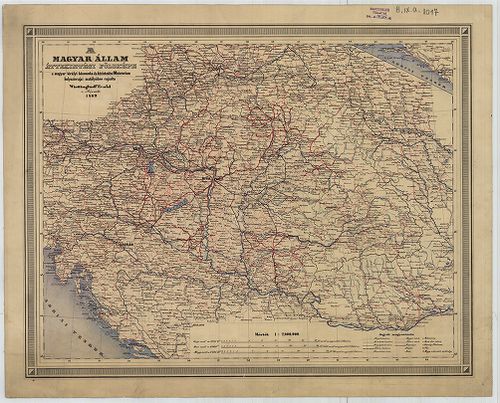
| Title | A Magyar Állam áttekintési földképe. |
592. A Magyar Szent Korona Országai. [B IX a 1018]
Institute and Museum of Military History •
B IX a
•
B IX Ausztria–Magyarország
•
B I–XV. Európa
| Title | A Magyar Szent Korona Országai. |
| Main title | Mt. Budapest pályaudvarai. |
593. Carte de la Hongrie et des Pays qui en dependoient autrefois... [B IX a 1021]
Institute and Museum of Military History •
B IX a
•
B IX Ausztria–Magyarország
•
B I–XV. Európa
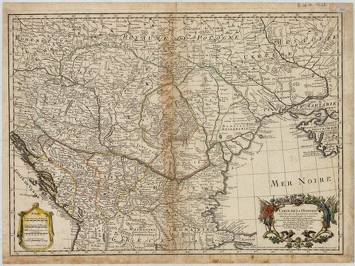
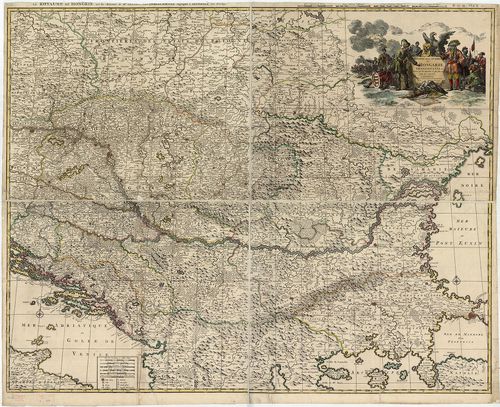
| Title | Carte de la Hongrie et des Pays qui en dependoient autrefois. |
| Main title | Magyarország és a társországok térképe. |
594. Neue durch den lezten Krieg der drei Kaiserhőfe verbesserte ... [B IX a 1022]
Institute and Museum of Military History •
B IX a
•
B IX Ausztria–Magyarország
•
B I–XV. Európa
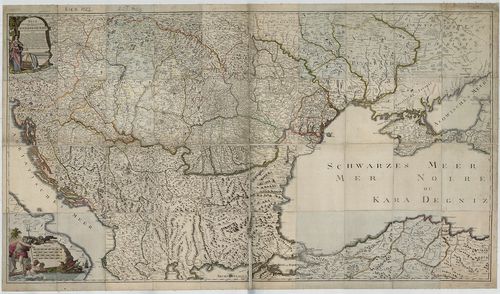
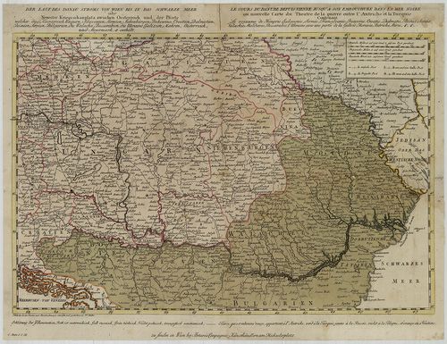
| Title | Neue durch den lezten Krieg der drei Kaiserhőfe verbesserte Geographische Karte samt den neuen bestimten Poststazionen… |
| Main title | A Duna menti országok térképe 1792-ben a postaállomások jelölésével. (Kremstől a Fekete-tengerig.) |
595. Hungaria Generalis, divisa in proprie dictam Hungariam, Prin... [B IX a 1024]
Institute and Museum of Military History •
B IX a
•
B IX Ausztria–Magyarország
•
B I–XV. Európa
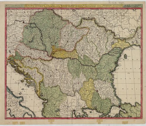
| Title | Hungaria Generalis, divisa in proprie dictam Hungariam, Principatum Transilvaniam, Regiones Dalmatiae, Sclavoniae, Moldaviae, Valachiae, Bulgariae, Croatiae, Bosniae, Serviae, Romaniae et Bessarábiae. |
| Main title | Magyarország és a Balkán-félsziget térképe a 18. század elején. |
596. Regni Hungariae, Graeciae, et Moreae, ac Regionum quae ei qu... [B IX a 1025]
Institute and Museum of Military History •
B IX a
•
B IX Ausztria–Magyarország
•
B I–XV. Európa
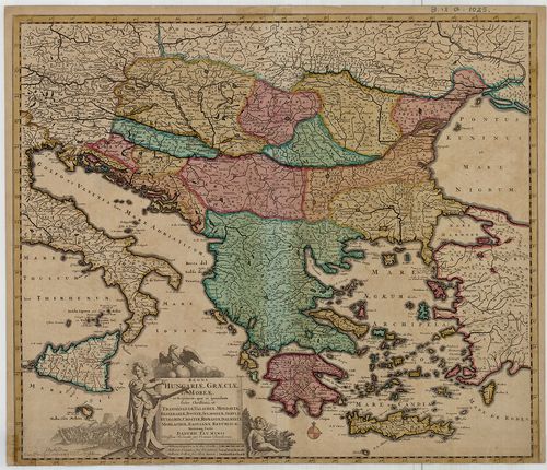
| Title | Regni Hungariae, Graeciae, et Moreae, ac Regionum quae ei quondam fuére Christiani, ut Transilvaniae, Valachiae, Moldaviae, Bessarabiae, Bosniae, Sclavoniae, Serviae, Bulgariae, Croatiae, Romaniae, Dalmatiae, Morlachiae, Ragusanae Republica… |
| Main title | A Magyar Királyság és a Balkán-félsziget térképe a 17. század végén, tartományi határszín. |
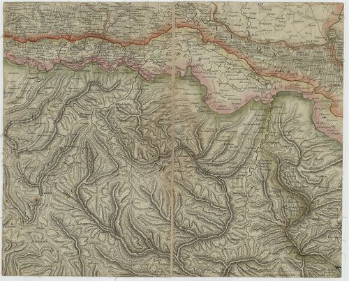
597. Carte topographique d’allemagne Contenant une Partie du Roau... [B IX a 1026]
Institute and Museum of Military History •
B IX a
•
B IX Ausztria–Magyarország
•
B I–XV. Európa
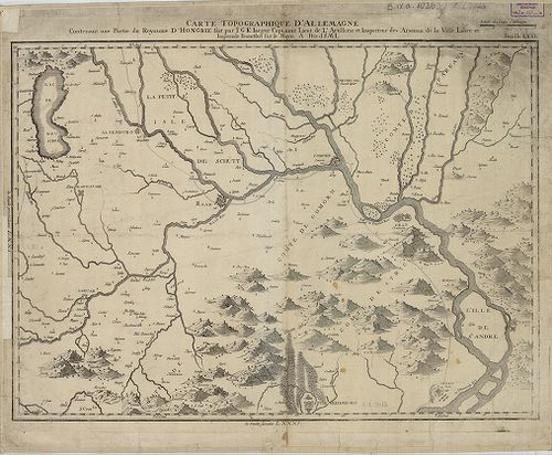
| Title | Carte topographique d’allemagne Contenant une Partie du Roaume D’Hongrie fait… |
| Main title | Magyarország: É-Dunántúl topográfiai térképe a 18. század végén. |
598. Theatre de la Guerre en Hongrie, Transilvanie etc. [B IX a 1027]
Institute and Museum of Military History •
B IX a
•
B IX Ausztria–Magyarország
•
B I–XV. Európa
| Title | Theatre de la Guerre en Hongrie, Transilvanie etc. |
| Main title | Magyarország, Erdély térképe, tartományi határszín. |
599. Nouvelle Carte di Theatre de la Guerre entre les Autrichiens... [B IX a 1029]
Institute and Museum of Military History •
B IX a
•
B IX Ausztria–Magyarország
•
B I–XV. Európa
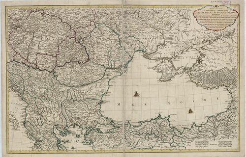
| Title | Nouvelle Carte di Theatre de la Guerre entre les Autrichiens, les Russes, et les Otomans… |
| Main title | Az Oszták, Orosz és a Török Birodalom országai (Magyarország-Fekete-tenger) a 18. század elején. |
600. Charte von Ungarn, Siebenburgen, Slavonien, einem Theil von ... [B IX a 1030]
Institute and Museum of Military History •
B IX a
•
B IX Ausztria–Magyarország
•
B I–XV. Európa
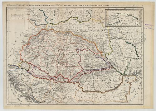
| Title | Charte von Ungarn, Siebenburgen, Slavonien, einem Theil von Croatien u. Ost-Galizien nebst der Moldau, Wallachey, und andern angrenzenden Ländern. |
| Main title | Magyarország, Erdély, Szlavónia-Horvátország, Kelet-Galícia, Moldva, Havasalföld térképe az 1770-es években. |