21. Topolyán helysége határának térképe [TK 796]
National Széchényi Library •
OSZK kéziratos térképek
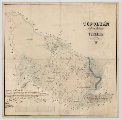
| Title | Topolyán helysége határának térképe |
Content: [...] ágak színnel Dűlők névvel Proven Néprajzi Múzeum
22. Zemplén megye Sztankócz helysége határa térképe [TK 1729]
National Széchényi Library •
OSZK kéziratos térképek
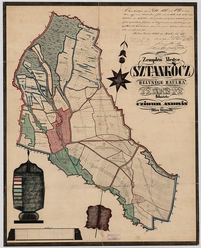
| Title | Zemplén megye Sztankócz helysége határa térképe |
Content: [...] művelési ágak színnel Színmagyarázat Proven Néprajzi Múzeum
23. Darócz község beltelkeinek urbéri szabályozási térképe [TK 883]
National Széchényi Library •
OSZK kéziratos térképek
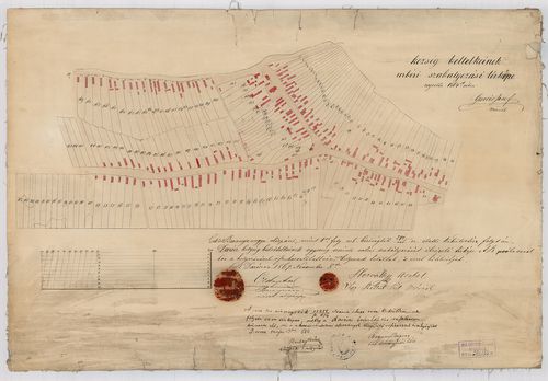
| Title | Darócz község beltelkeinek urbéri szabályozási térképe |
Content: [...] 429 Birtokkönyv Keret nélkül Proven Néprajzi Múzeum
24. Szopkócz határának térképe [TK 1961]
National Széchényi Library •
OSZK kéziratos térképek
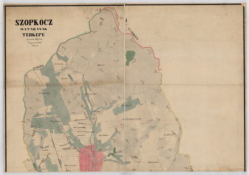
| Title | Szopkócz határának térképe |
Content: [...] színnel Dűlők névvel Birtokkönyv Proven Néprajzi Múzeum
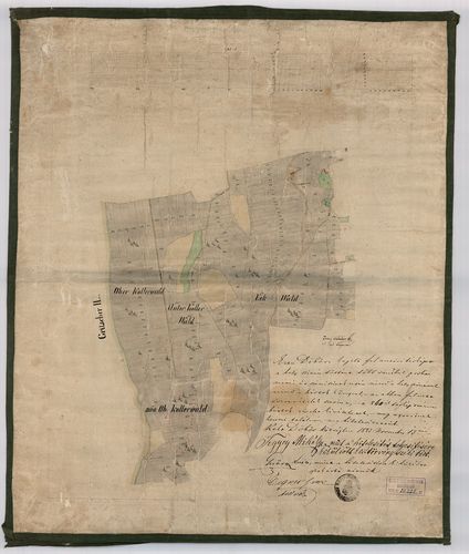
25. Europa etnografica. [B I c 94]
Institute and Museum of Military History •
B I c
•
B I Európa
•
B I–XV. Európa

| Title | Europa etnografica. |
| Main title | Európa néprajzi térképe 1940-ben. |
26. A Duna-medence és szomszédos országok néprajzi térképe. [B II c 81]
Institute and Museum of Military History •
B II c
•
B II Európa, nagyobb részek és országcsoportok
•
B I–XV. Európa
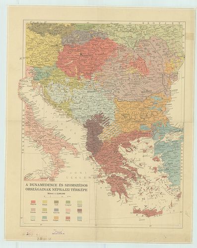
| Title | A Duna-medence és szomszédos országok néprajzi térképe. |
27. Magyarország néprajzi térképe. Az 1900. évi népszámlálás sze... [B IX c 710/1]
Institute and Museum of Military History •
B IX c
•
B IX Ausztria–Magyarország
•
B I–XV. Európa
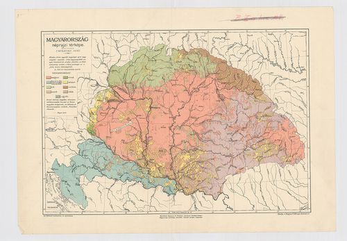
| Title | Magyarország néprajzi térképe. Az 1900. évi népszámlálás szerint. |
28. Csertész helysége határának szabályozott térképe [TK 1786]
National Széchényi Library •
OSZK kéziratos térképek
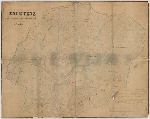
| Title | Csertész helysége határának szabályozott térképe |
Content: [...] ágak színnel Dűlők névvel Proven Néprajzi Múzeum
29. Bolmán határának összesités előtti térképe [TK 1446]
National Széchényi Library •
OSZK kéziratos térképek
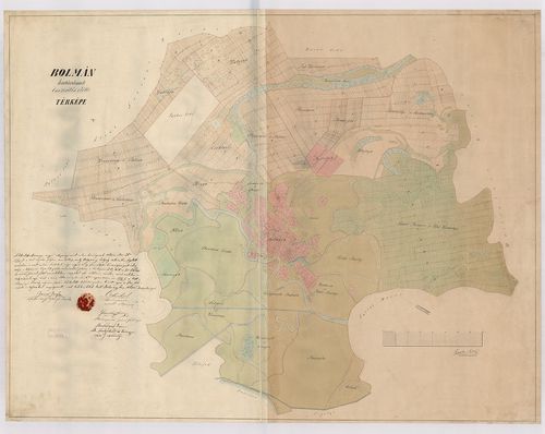
| Title | Bolmán határának összesités előtti térképe |
Content: [...] számmal Dűlők névvel számmal Proven Néprajzi Múzeum
30. A[lsó] Sitnyicze határának térképe [TK 1802]
National Széchényi Library •
OSZK kéziratos térképek
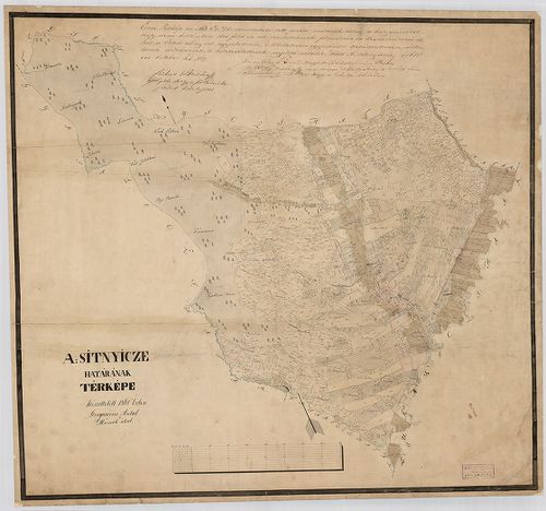
| Title | A[lsó] Sitnyicze határának térképe |
Content: [...] ágak színnel Dűlők névvel Proven Néprajzi Múzeum
31. Laskafalu helység összesités előtti térképe [TK 1548]
National Széchényi Library •
OSZK kéziratos térképek
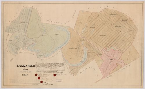
| Title | Laskafalu helység összesités előtti térképe |
Content: [...] számmal Dűlők névvel Birtokkönyvek Proven Néprajzi Múzeum
32. T[ót] krivai határ térképe [TK 827]
National Széchényi Library •
OSZK kéziratos térképek
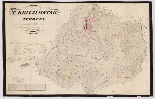
| Title | T[ót] krivai határ térképe |
Content: [...] épületek alaprajzban Dűlők névvel Proven Néprajzi Múzeum
33. Tekintetes Zemplén vármegyében kebelezett Kohány helysége ha... [TK 1546]
National Széchényi Library •
OSZK kéziratos térképek
| Title | Tekintetes Zemplén vármegyében kebelezett Kohány helysége határának öszvesitési térképe |
Content: [...] ágak színnel Dűlők névvel Proven Néprajzi Múzeum
34. Döböri legelő felosztásának térképe [TK 994]
National Széchényi Library •
OSZK kéziratos térképek
| Title | Döböri legelő felosztásának térképe |
Content: [...] Dűlők névvel Keret nélkül Proven Néprajzi Múzeum
35. Zemplén megye Szölöske helysége határa' térképe [TK 1603]
National Széchényi Library •
OSZK kéziratos térképek
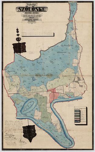
| Title | Zemplén megye Szölöske helysége határa' térképe |
Content: [...] színnel Dűlők névvel Színmagyarázat Proven Néprajzi Múzeum
36. Pazdics helység határának szabályozás előtti térképe [TK 2025]
National Széchényi Library •
OSZK kéziratos térképek
| Title | Pazdics helység határának szabályozás előtti térképe |
Content: [...] ágak színnel Dűlők névvel Proven Néprajzi Múzeum
37. Kisfalud helység beltelkeinek eredeti rendezési térképe [TK 1752]
National Széchényi Library •
OSZK kéziratos térképek
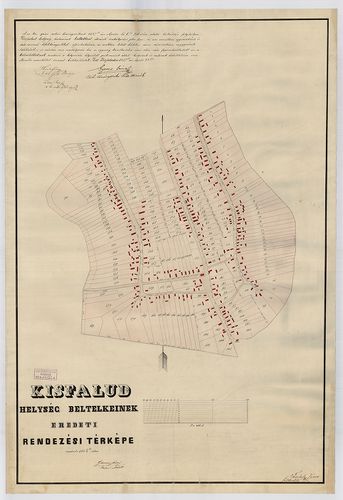
| Title | Kisfalud helység beltelkeinek eredeti rendezési térképe |
Content: [...] lapon ld 448 Birtokkönyvek Proven Néprajzi Múzeum
38. Mislina határának térképe [TK 1945]
National Széchényi Library •
OSZK kéziratos térképek
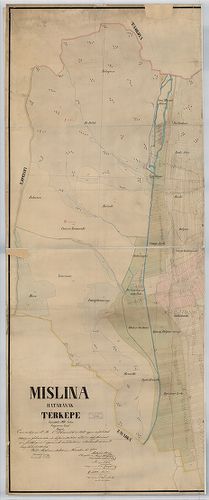
| Title | Mislina határának térképe |
Content: [...] ágak színnel Dűlők névvel Proven Néprajzi Múzeum
39. Lomna határának térképe [TK 1454]
National Széchényi Library •
OSZK kéziratos térképek
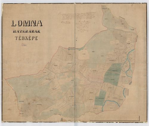
| Title | Lomna határának térképe |
Content: [...] Dűlők névvel Birtokkönyv 15 Proven Néprajzi Múzeum
40. Zemplén megye Sztropko Polena község határának térképe [TK 1964]
National Széchényi Library •
OSZK kéziratos térképek
| Title | Zemplén megye Sztropko Polena község határának térképe |
Content: [...] ágak színnel Dűlők névvel Proven Néprajzi Múzeum