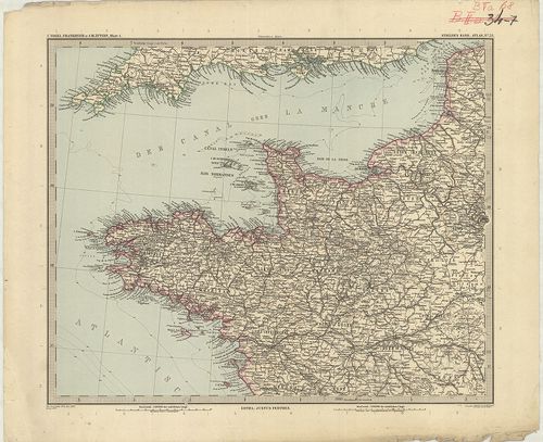
2641. Der Nordoestliche Theil von Frankreich. [B V a 47/a]
Institute and Museum of Military History •
B V a
•
B V Franciaország
•
B I–XV. Európa
| Title | Der Nordoestliche Theil von Frankreich. |
2642. Der Nord-Westliche Theil von Frankreich. [B V a 47/b]
Institute and Museum of Military History •
B V a
•
B V Franciaország
•
B I–XV. Európa
| Title | Der Nord-Westliche Theil von Frankreich. |
2643. Der Südliche Theil von Frankreich nebst einem Theile von Spa... [B V a 47/c]
Institute and Museum of Military History •
B V a
•
B V Franciaország
•
B I–XV. Európa
| Title | Der Südliche Theil von Frankreich nebst einem Theile von Spanien. |
2644. Frankreich und Umgebungen von Paris. [B V a 48]
Institute and Museum of Military History •
B V a
•
B V Franciaország
•
B I–XV. Európa
| Title | Frankreich und Umgebungen von Paris. |
| Main title | Mt.: Umgebung von Paris. (Párizs és környéke.) |
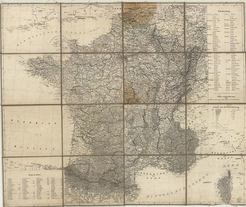
2645. Carte Phisique, Administrative et Routiére de la France… [B V a 49/1]
Institute and Museum of Military History •
B V a
•
B V Franciaország
•
B I–XV. Európa
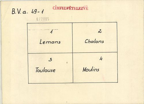
| Title | Carte Phisique, Administrative et Routiére de la France… |
| Main title | Franciaország térképe, tartományi beosztással 1818-ban. |
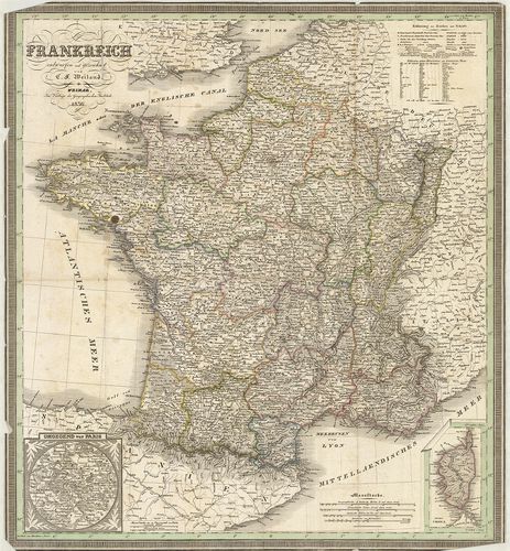
2646. Frankreich. [B V a 50]
Institute and Museum of Military History •
B V a
•
B V Franciaország
•
B I–XV. Európa
| Title | Frankreich. |
| Main title | Franciaország térképe 1841-ben. |
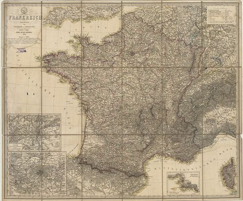
2647. Frankreich. [B V a 51]
Institute and Museum of Military History •
B V a
•
B V Franciaország
•
B I–XV. Európa
| Title | Frankreich. |
| Main title | Mt.: Umgebung von Paris. (Párizs és környéke.)Franciaország térképe 1836-ban. |
2648. Frankreich. [B V a 52]
Institute and Museum of Military History •
B V a
•
B V Franciaország
•
B I–XV. Európa
| Title | Frankreich. |
| Main title | 3 mt.: 1. Lyon und seiner Umgebungen (Lyon és környéke). 2. Paris und seiner Umgebungen (Párizs és környéke.). 3. Marseille und Umgebungen (Marseille és környéke.).Franciaország térképe tartományi beosztással 1854-ben. |
2649. France par Départements. [B V a 53]
Institute and Museum of Military History •
B V a
•
B V Franciaország
•
B I–XV. Európa

| Title | France par Départements. |
| Main title | Franciaország térképe közigazgatási beosztással 1882-ben. |
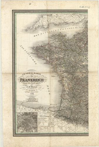
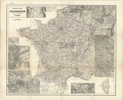
2650. General-Karte von Frankreich. [B V a 59]
Institute and Museum of Military History •
B V a
•
B V Franciaország
•
B I–XV. Európa
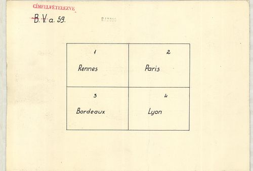
| Title | General-Karte von Frankreich. |
| Main title | 2 mt.: 1. Frankreich nach seiner chemaligen Eintheilung in Gouvernements mit den landschaftlichen Namen u. den historisch wichtigen Orten. (Franciaország térképe közigazgatási kerületi beosztással és a történelmi helyek megjelölésével.) 2. Umgegend von Paris (Párizs és környéke.). |
| Subject | Franciaország általános térképe 1857-ben. |
2651. General Karte von Frankreich. [B V a 60]
Institute and Museum of Military History •
B V a
•
B V Franciaország
•
B I–XV. Európa
| Title | General Karte von Frankreich. |
| Main title | Mt.: (Párizs és környéke.) |
| Subject | Franciaország általános térképe 1836-ban. |
2652. Carte Administrative et Phisique de la France… [B V a 61]
Institute and Museum of Military History •
B V a
•
B V Franciaország
•
B I–XV. Európa
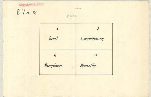
| Title | Carte Administrative et Phisique de la France… |
| Main title | 6 mt.: 1. Nantes. 2. Rouen. 3. Bordeaux. 4. Lyon. 5. Marseille-várostérképek. 6. Environs de Paris (Párizs és környéke.).Franciaország közigazgatási és földrajzi térképe 1857-ben úthálózattal. |
2653. Carte Orographique Hydrographique et Routiére de L’Empire Fr... [B V a 63]
Institute and Museum of Military History •
B V a
•
B V Franciaország
•
B I–XV. Európa
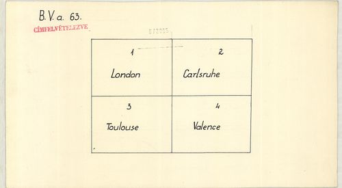
| Title | Carte Orographique Hydrographique et Routiére de L’Empire Français comprenant le Bassin du Rhein et la Région des Alpes Occidentales… |
| Main title | Franciaország általános térképe 1860-ban, a Rajna forrásvidéke és a NY-i alpok egy részével, vasúthálózattal. |
2654. Frankreich mit Piemont, Schweiz, Baden, Würtemberg, Rhein-Pr... [B V a 65]
Institute and Museum of Military History •
B V a
•
B V Franciaország
•
B I–XV. Európa
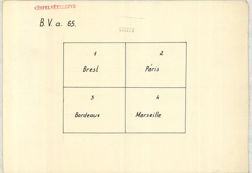
| Title | Frankreich mit Piemont, Schweiz, Baden, Würtemberg, Rhein-Provinz, Hessen und Belgien. |
| Main title | 2 mt.: 1. Frankreich nach seiner ehemaligen. Einteilung in Gouvernements mit den landschaftlichen Namen u. den historisch wichtigen Orten. (Franciaország közigazgatási térképe a nevezetes történelmi helyek megjelölésével.) 2. Umgegend von Paris. (Párizs és környéke.) |
| Subject | Franciaország térképe, Piemont, Svájc, Baden, Würtemberg, Rajna-tartományok, Hessen és Belgium területével 1866-ban. |
2655. Übersichts-Karte vom Frankreich besonderer Abdruck aus W. Li... [B V a 67]
Institute and Museum of Military History •
B V a
•
B V Franciaország
•
B I–XV. Európa
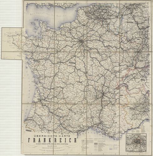
| Title | Übersichts-Karte vom Frankreich besonderer Abdruck aus W. Liebenow’s Karte v. Central-Europa. |
| Main title | Mt.: Paris und Umgegend. (Párizs és környéke.) |
| Subject | Franciaország áttekintőtérképe vasút és úthálózattal 1870-ben. |
2656. Frankreich in 4 Blättern. [B V a 68]
Institute and Museum of Military History •
B V a
•
B V Franciaország
•
B I–XV. Európa
| Title | Frankreich in 4 Blättern. |
| Main title | Mt.: Paris und Umgebung. (Párizs és környéke.) |
| Subject | Franciaország térképe 1893-ban. |
2657. General und Strassen Karte von Frankreich. [B V a 69]
Institute and Museum of Military History •
B V a
•
B V Franciaország
•
B I–XV. Európa
| Title | General und Strassen Karte von Frankreich. |
| Main title | Franciaország általános térképe 1870-ben, úthálózattal. |
2658. General-Karte von Frankreich. [B V a 72]
Institute and Museum of Military History •
B V a
•
B V Franciaország
•
B I–XV. Európa
| Title | General-Karte von Frankreich. |
| Main title | 12 mt.: 1. [Colmar] 2. [Chalons sur Marne] 3. [Lyon] 4. [Paris] 5. [Nancy] 6. [Pfalzburg], Phalsbourg 7. [Bitsch], Bitsche. 8. [Schlettstadt], Sélestat 9. [Metz] 10. [Strassburg], Strassbourg 11. [Weissenburg], Wissenbourg 12. [Sedan és környékének térképe.] |
| Subject | Franciaország általános térképe. |
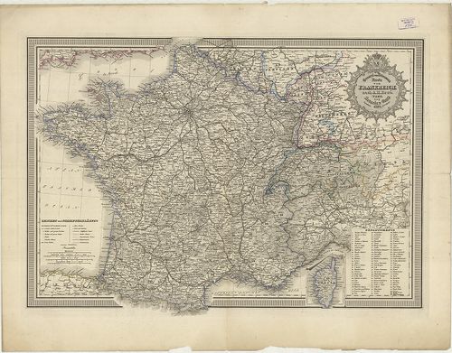
2659. Nouvelle Topographie de la France. … [B V a 74]
Institute and Museum of Military History •
B V a
•
B V Franciaország
•
B I–XV. Európa
| Title | Nouvelle Topographie de la France. … |
| Main title | Franciaország topográfiai térképe 1780-ban. |
2660. Atlas National de France. – Carte De la République Francaise... [B V a 75]
Institute and Museum of Military History •
B V a
•
B V Franciaország
•
B I–XV. Európa
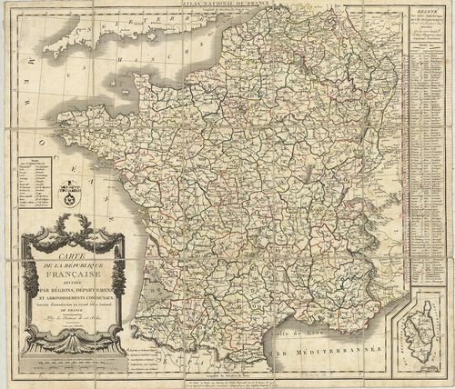
| Title | Atlas National de France. – Carte De la République Francaise divisée par Régions, Départements et Arrondissements Communaux. |
| Main title | A Francia Köztársaság térképe megyei, kerületi felosztással 1790-ben. |