181. Carte générale de l'Europe. [B I a 201]
Institute and Museum of Military History •
B I a
•
B I Európa
•
B I–XV. Európa
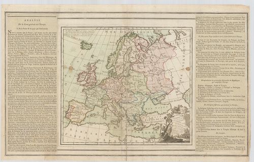
| Title | Carte générale de l'Europe. |
| Main title | Európa általános térképe. |
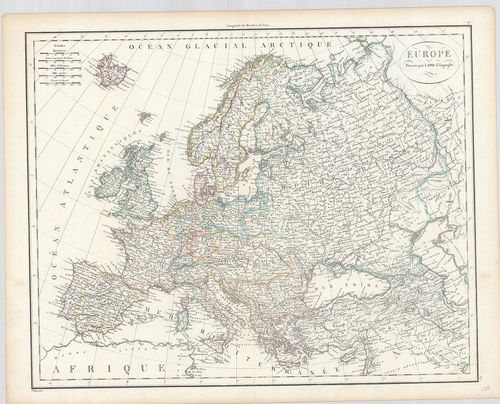
182. L'Europe. [B I a 202]
Institute and Museum of Military History •
B I a
•
B I Európa
•
B I–XV. Európa
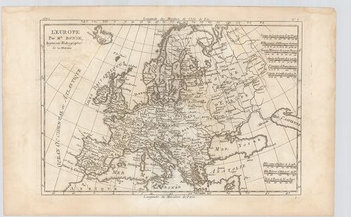
| Title | L'Europe. |
| Main title | Európa térképe. |
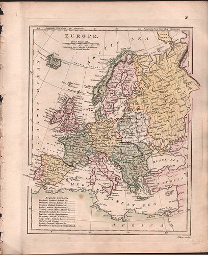
183. Carte d'Europe 1829. [B I a 203]
Institute and Museum of Military History •
B I a
•
B I Európa
•
B I–XV. Európa
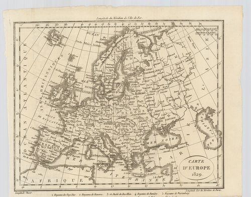
| Title | Carte d'Europe 1829. |
| Main title | Európa térképe. |
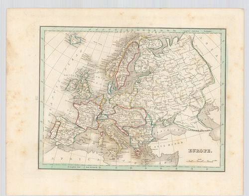
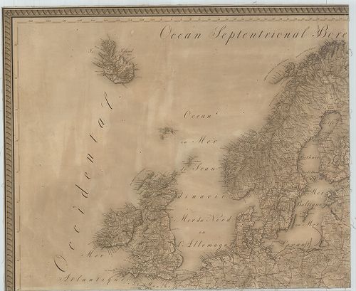
184. Europe. [B I a 204]
Institute and Museum of Military History •
B I a
•
B I Európa
•
B I–XV. Európa
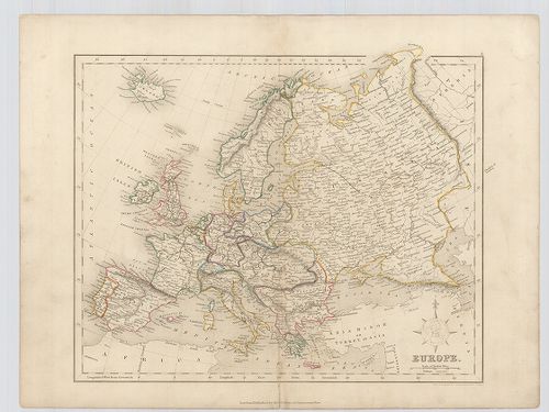
| Title | Europe. |
| Main title | Európa térképe. |
185. Europe. [B I a 205]
Institute and Museum of Military History •
B I a
•
B I Európa
•
B I–XV. Európa
| Title | Europe. |
| Main title | Európa térképe. |
186. Europe. [B I a 206]
Institute and Museum of Military History •
B I a
•
B I Európa
•
B I–XV. Európa
| Title | Europe. |
| Main title | Európa térképe. |
187. Európa. [B I a 207-a]
Institute and Museum of Military History •
B I a
•
B I Európa
•
B I–XV. Európa
| Title | Európa. |
188. Európa. Dombortérkép. [B I a 207-b]
Institute and Museum of Military History •
B I a
•
B I Európa
•
B I–XV. Európa
| Title | Európa. Dombortérkép. |
189. Europe. [B I a 208]
Institute and Museum of Military History •
B I a
•
B I Európa
•
B I–XV. Európa
| Title | Europe. |
| Main title | Európa térképe. |
190. An Accurate Map of Europe, compiled from the best Authotieri... [B I a 209]
Institute and Museum of Military History •
B I a
•
B I Európa
•
B I–XV. Európa
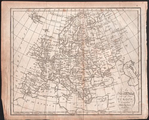
| Title | An Accurate Map of Europe, compiled from the best Authotieries. |
| Main title | Európa térképe. |
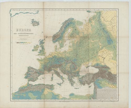
191. Carte Générale Orographique et Hydrographique de L’Europe. [B I b 3]
Institute and Museum of Military History •
B I b
•
B I Európa
•
B I–XV. Európa
| Title | Carte Générale Orographique et Hydrographique de L’Europe. |
| Main title | Európa hegy-vízrajzi térképe 1816-ban. |
192. General Karte von Europa. [B I b 4]
Institute and Museum of Military History •
B I b
•
B I Európa
•
B I–XV. Európa
| Title | General Karte von Europa. |
| Main title | 3 mt.: Ausztria–Magyarország Tisza vízgyűjtő területe. |
| Subject | Európa hegyvízrajzi térképe 1818-ban. |
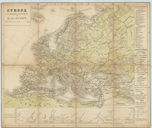
193. Europa nach seinen oro-hydrographischen Verhältnissen. [B I b 5]
Institute and Museum of Military History •
B I b
•
B I Európa
•
B I–XV. Európa
| Title | Europa nach seinen oro-hydrographischen Verhältnissen. |
| Main title | Európa orográfiai és hydrográfiai viszonyai 1870 körül. |
194. Europa. [B I b 6]
Institute and Museum of Military History •
B I b
•
B I Európa
•
B I–XV. Európa
| Title | Europa. |
| Main title | Európa hegyrajzi térképe 1860 körül. |
195. Esquisse orographique de L’Europe. [B I b 7]
Institute and Museum of Military History •
B I b
•
B I Európa
•
B I–XV. Európa
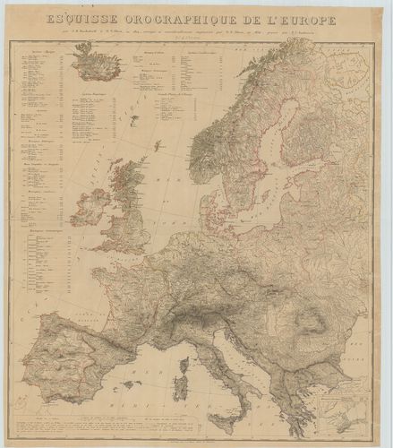
| Title | Esquisse orographique de L’Europe. |
| Main title | Mt.: (Krim félsziget és környéke.) |
| Subject | Európa orográfiai térképe 1830 körül. |
196. Europa, Geologische Übersicht. [B I b 8]
Institute and Museum of Military History •
B I b
•
B I Európa
•
B I–XV. Európa
| Title | Europa, Geologische Übersicht. |
| Main title | Európa geológiai térképe. |
197. Carta di Cabottaggio del Mare Adriatico. [B I b 24]
Institute and Museum of Military History •
B I b
•
B I Európa
•
B I–XV. Európa
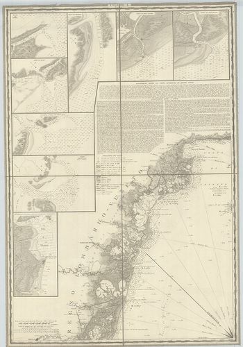
| Title | Carta di Cabottaggio del Mare Adriatico. |
| Main title | I. [Monfalcone] II. [Venedig (Venezia)] III. [Triest)] IV. [Rimini] V. [Carlopago (Karlobag)] VI. [Ancona.] VII. [Zara (Zadar] VIII. [Grottamare (Grottammaro)] IX. [Spalatro (Split)] X: [Termoli] XI. [Sabioncello (Peljesac fsz.)] XII. [Manfredonia] XIII. [Cattaro (Kotor)] XIV. [Trani] XV. [Antivari (Bar)] XVI. ]Brindisi] XVII. [Aulona] XVIII. [Otranto] XIX. [Annotazioni generali sul Mare Adriatico.] XX. [Corfu (Kérkira)] + 72 db mt. Kikötők és folyótorkolatok. |
| Subject | Az Adriai-tenger és a partvidéke hajózási térképe 1820 körül. |
198. Idrografia Generale del Mare Adriatico… [B I b 25]
Institute and Museum of Military History •
B I b
•
B I Európa
•
B I–XV. Európa
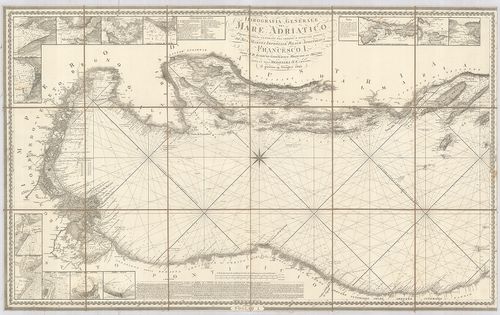
| Title | Idrografia Generale del Mare Adriatico… |
| Main title | 2 mt.: az Adriai kikötőkről. |
| Subject | Az Adriai-tenger általános hidrogáfiai térképe. |
199. [A Tirrén-Adriai és az Égei tenger mélységmérési térképe.] [B I b 50]
Institute and Museum of Military History •
B I b
•
B I Európa
•
B I–XV. Európa
| Title | [A Tirrén-Adriai és az Égei tenger mélységmérési térképe.] |
200. Karte des Baltischen Meeres und der, dassalbe begrenzenden L... [B I b 58]
Institute and Museum of Military History •
B I b
•
B I Európa
•
B I–XV. Európa
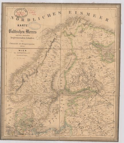
| Title | Karte des Baltischen Meeres und der, dassalbe begrenzenden Länder. Zur Uebersicht der Kriegsereignisse 1854. |
| Main title | A Balti-tenger és a vele határos országok térképe 1854-ben. |