451. Mittel-Deutschland. [B IV a 964]
Institute and Museum of Military History •
B IV a
•
B IV Német birodalom
•
B I–XV. Európa
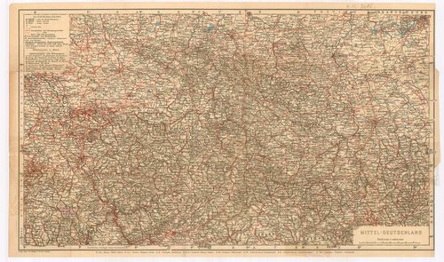
| Title | Mittel-Deutschland. |
| Main title | Közép-Németország térképe. |
452. Nord-Deutschland. (Südostlicher Teil) [B IV a 965]
Institute and Museum of Military History •
B IV a
•
B IV Német birodalom
•
B I–XV. Európa
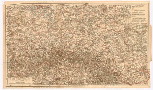
| Title | Nord-Deutschland. (Südostlicher Teil) |
| Main title | Észak-Németország térképe. |
453. Karte der Fränkischen Schweiz. [B IV a 966]
Institute and Museum of Military History •
B IV a
•
B IV Német birodalom
•
B I–XV. Európa
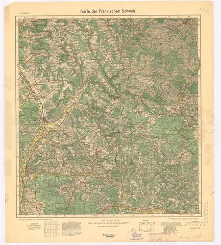
| Title | Karte der Fränkischen Schweiz. |
| Main title | Frank-Svájc térképe 1933-ban. |
454. Topographische Übersichtskarte von Südwestdeutschland in 6 B... [B IV a 967]
Institute and Museum of Military History •
B IV a
•
B IV Német birodalom
•
B I–XV. Európa
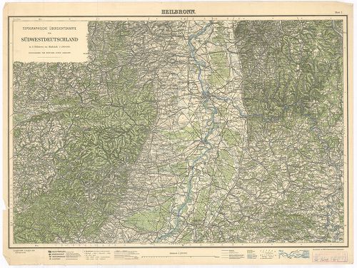
| Title | Topographische Übersichtskarte von Südwestdeutschland in 6 Blättern. Blatt I. Heilbronn. Blatt II. Hall. Blatt III. Stuttgart. |
| Main title | Németország DNY-i részének topográfiai térképe 1925–1928-ban. |
455. Füssen, Germany. [B IV a 968]
Institute and Museum of Military History •
B IV a
•
B IV Német birodalom
•
B I–XV. Európa
| Title | Füssen, Germany. |
| Main title | Németország: Füssen és környékének (Bajor Alpok) térképe 1943-ban. |
456. Standortkarte von Deggendorf. [B IV a 969]
Institute and Museum of Military History •
B IV a
•
B IV Német birodalom
•
B I–XV. Európa
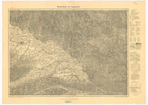
| Title | Standortkarte von Deggendorf. |
| Main title | Deggendorf és környékének topográfiai térképe 1934-ben. |
457. Karte der Pfalz. [B IV a 970]
Institute and Museum of Military History •
B IV a
•
B IV Német birodalom
•
B I–XV. Európa
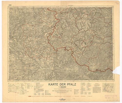
| Title | Karte der Pfalz. |
| Main title | Pfalz kerület térképe 1935-ben az akkori határ kijelölésével. |
458. Deutschland. [B IV a 974]
Institute and Museum of Military History •
B IV a
•
B IV Német birodalom
•
B I–XV. Európa
| Title | Deutschland. |
| Main title | Németország térképe 1953-ban. |
459. Deutsche Demokratische Republik. [B IV a 975]
Institute and Museum of Military History •
B IV a
•
B IV Német birodalom
•
B I–XV. Európa
| Title | Deutsche Demokratische Republik. |
| Main title | Mt.: [N. D. K. tartományok térképe.] |
| Subject | A Német Demokratikus Köztársaság térképe 1953-ban. |
460. Deutsche Demokratische Republik und Westdeutschland. [B IV a 977/1]
Institute and Museum of Military History •
B IV a
•
B IV Német birodalom
•
B I–XV. Európa
| Title | Deutsche Demokratische Republik und Westdeutschland. |
| Main title | A Német Demokratikus Köztársaság és Nyugat-Németország általános térképe úthálózattal 1965-ben. |
461. Federativnaja Reszpublika Germanii. [B IV a 980]
Institute and Museum of Military History •
B IV a
•
B IV Német birodalom
•
B I–XV. Európa
| Title | Federativnaja Reszpublika Germanii. |
| Main title | 3 mt. 1. Promislennoszty. (Iparvidék.) 2. Rejnszko Vesztfalszkij rajon. (Rajna-Vesztfáliai kerület.) 3. Szeljkoje hozjajsztvo. (Mezőgazdaság.) |
| Subject | A Német Szövetségi Köztársaság térképe úthálózattal. |
462. Die beiden deutschen Staaten. [B IV a 981]
Institute and Museum of Military History •
B IV a
•
B IV Német birodalom
•
B I–XV. Európa
| Title | Die beiden deutschen Staaten. |
| Main title | A két német állam (NSZK, NDK) térképe úthálózattal 1965-ben. |
463. Solling-Karte. [B IV a 990]
Institute and Museum of Military History •
B IV a
•
B IV Német birodalom
•
B I–XV. Európa
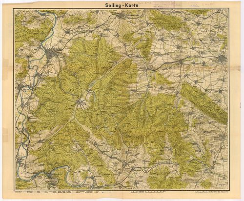
| Title | Solling-Karte. |
| Main title | A Solling-hegység (Németo.) topográfiai térképe. |
464. Kreis Angermünden. [B IV a 999]
Institute and Museum of Military History •
B IV a
•
B IV Német birodalom
•
B I–XV. Európa
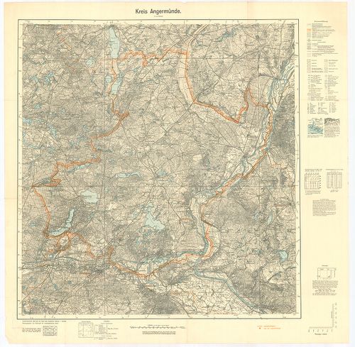
| Title | Kreis Angermünden. |
| Main title | Angermünden-kerület (Németo.) topográfiai térképe 1939-ben. |
465. Oberamtskarte Blaubeuren. [B IV a 1000]
Institute and Museum of Military History •
B IV a
•
B IV Német birodalom
•
B I–XV. Európa
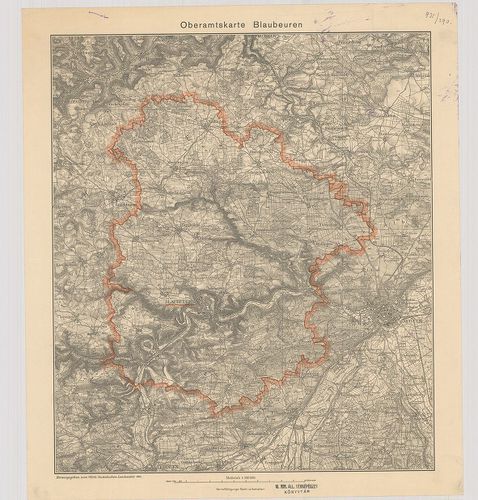
| Title | Oberamtskarte Blaubeuren. |
| Main title | Blaubeuren-kerület (Németo.) topográfiai térképe 1934-ben. |
466. Oberamtskarte Ehingen. [B IV a 1001]
Institute and Museum of Military History •
B IV a
•
B IV Német birodalom
•
B I–XV. Európa
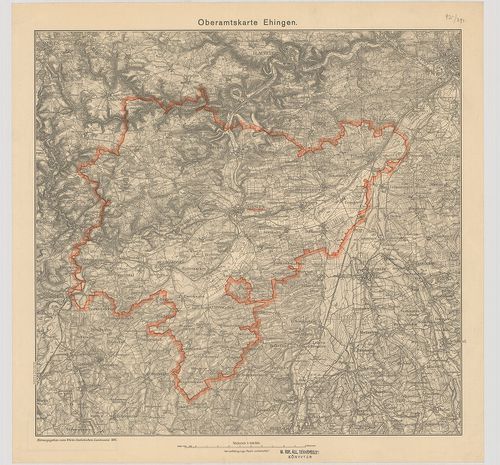
| Title | Oberamtskarte Ehingen. |
| Main title | Ehingen-kerület (Németo.) topográfiai térképe 1934-ben. |
467. Oberamtskarte Geislingen. [B IV a 1002]
Institute and Museum of Military History •
B IV a
•
B IV Német birodalom
•
B I–XV. Európa
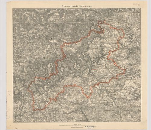
| Title | Oberamtskarte Geislingen. |
| Main title | Geislingen-kerület ((Németo.) topográfiai térképe 1934-ben. |
468. Oberamtskarte Heidenheim. [B IV a 1003]
Institute and Museum of Military History •
B IV a
•
B IV Német birodalom
•
B I–XV. Európa
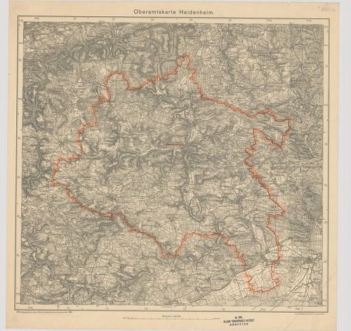
| Title | Oberamtskarte Heidenheim. |
| Main title | Heidenheim-kerület (Németo.) topográfiai térképe 1935-ben. |
469. Oberamtskarte Heilbronn. [B IV a 1004]
Institute and Museum of Military History •
B IV a
•
B IV Német birodalom
•
B I–XV. Európa
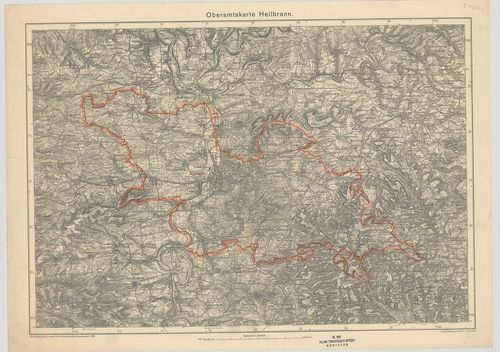
| Title | Oberamtskarte Heilbronn. |
| Main title | Heilbronn-kerület (Németo.) topográfiai térképe 1935-ben. |
470. Oberamtskarte Laupheim. [B IV a 1005]
Institute and Museum of Military History •
B IV a
•
B IV Német birodalom
•
B I–XV. Európa
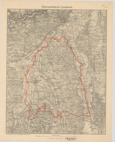
| Title | Oberamtskarte Laupheim. |
| Main title | Laupheim-kerület topográfiai térképe 1933-ban. |
471. Oberamt Leonberg. Archasologische Fundkarte. [B IV a 1006]
Institute and Museum of Military History •
B IV a
•
B IV Német birodalom
•
B I–XV. Európa
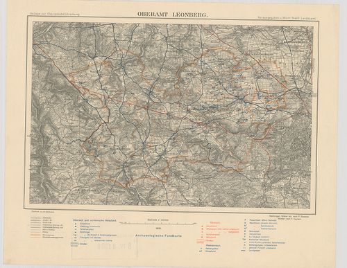
| Title | Oberamt Leonberg. Archasologische Fundkarte. |
| Main title | Leonberg-kerület (Németo.) régészetilelet térképe 1930-ban. |
472. Oberamtskarte Münsingen. [B IV a 1007]
Institute and Museum of Military History •
B IV a
•
B IV Német birodalom
•
B I–XV. Európa
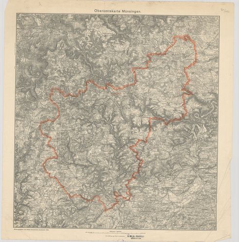
| Title | Oberamtskarte Münsingen. |
| Main title | Münsingen-kerület (Németo.) topográfiai térképe 1934-ben. |
473. Oberamtskarte Ulm. [B IV a 1008]
Institute and Museum of Military History •
B IV a
•
B IV Német birodalom
•
B I–XV. Európa
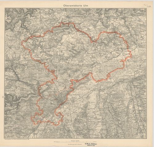
| Title | Oberamtskarte Ulm. |
| Main title | Ulm-kerület (Németo.) topográfiai térképe 1934-ben. |
474. Oberamtskarte Urach. [B IV a 1009]
Institute and Museum of Military History •
B IV a
•
B IV Német birodalom
•
B I–XV. Európa
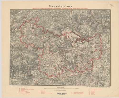
| Title | Oberamtskarte Urach. |
| Main title | Oberamts und Markungsgrenzen Eintragungen vorgeschtlicher Bodenfunde und Strassen. |
| Subject | Urach-kerület (Németo.) térképe a régészeti lelőhelyek és utak berajzolásával 1932-ben. |
475. Heilbronn – Hall – Mergentheim. Blatt I. [B IV a 1011]
Institute and Museum of Military History •
B IV a
•
B IV Német birodalom
•
B I–XV. Európa
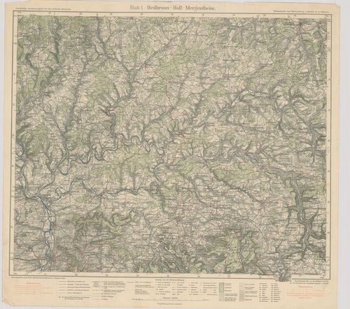
| Title | Heilbronn – Hall – Mergentheim. Blatt I. |
| Main title | Heilbronn–Hall–Mergentheim közötti terület (Németo.) térképe 1928-ban. |
476. Langenburg–Crailsheim–Rothenburg. Blatt 2. [B IV a 1012]
Institute and Museum of Military History •
B IV a
•
B IV Német birodalom
•
B I–XV. Európa
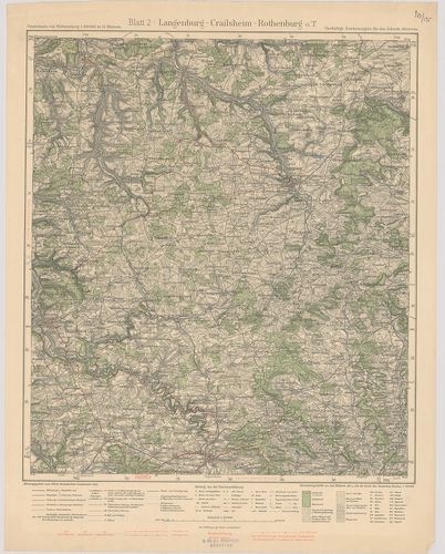
| Title | Langenburg–Crailsheim–Rothenburg. Blatt 2. |
| Main title | Langenburg–Crailsheim–Rothenburg közötti terület (Németo.) topográfiai térképe 1932-ben. |
477. Heilbronn–Stuttgart–Maulbronn. Blatt 3. [B IV a 1013]
Institute and Museum of Military History •
B IV a
•
B IV Német birodalom
•
B I–XV. Európa
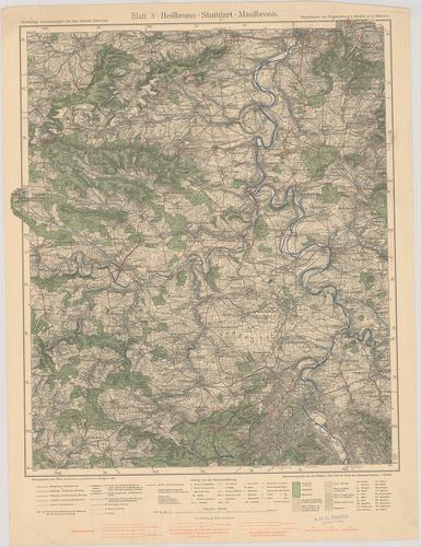
| Title | Heilbronn–Stuttgart–Maulbronn. Blatt 3. |
| Main title | Heiilbronn–Stuttgart–Maulbronn közötti terület (Németo.) topográfiai térképe 1931-ben. |
478. Hall–Löwenstein–Gmünd. Blatt 4. [B IV a 1014]
Institute and Museum of Military History •
B IV a
•
B IV Német birodalom
•
B I–XV. Európa
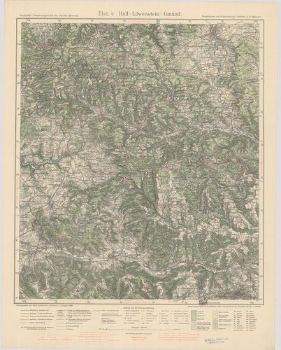
| Title | Hall–Löwenstein–Gmünd. Blatt 4. |
| Main title | Hall–Löwenstein–Gmünd közötti terület (Németo.) topográfiai térképe 1930-ban. |
479. Crailsheim–Gmünd–Nördlingen. Blatt 5. [B IV a 1015]
Institute and Museum of Military History •
B IV a
•
B IV Német birodalom
•
B I–XV. Európa
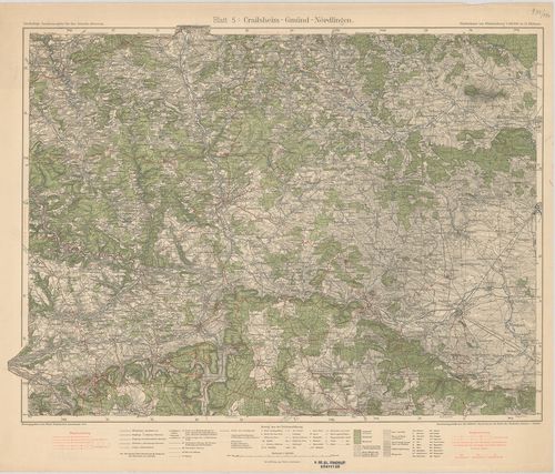
| Title | Crailsheim–Gmünd–Nördlingen. Blatt 5. |
| Main title | Crailsheim–Gmünd–Nördlingen közötti terület (Németo.) topográfiai térképe 1933-ban. |
480. Stuttgart–Herrenberg–Reutlingen. Blatt 7. [B IV a 1017]
Institute and Museum of Military History •
B IV a
•
B IV Német birodalom
•
B I–XV. Európa
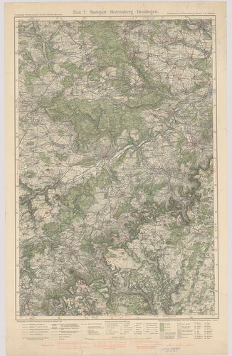
| Title | Stuttgart–Herrenberg–Reutlingen. Blatt 7. |
| Main title | Stuttgart–Herrenberg–Reutlingen közötti terület (Németo.) topográfiai térképe 1930-ban. |
481. Göppingen–Urach–Blaubeuren. Blatt 8. [B IV a 1018]
Institute and Museum of Military History •
B IV a
•
B IV Német birodalom
•
B I–XV. Európa
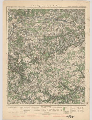
| Title | Göppingen–Urach–Blaubeuren. Blatt 8. |
| Main title | Göppingen–Urach–Blaubeuren közötti terület (Németo.) topográfiai térképe 1934-ben. |
482. Neresheim–Geislingen–Ulm. Blatt 9. [B IV a 1019]
Institute and Museum of Military History •
B IV a
•
B IV Német birodalom
•
B I–XV. Európa
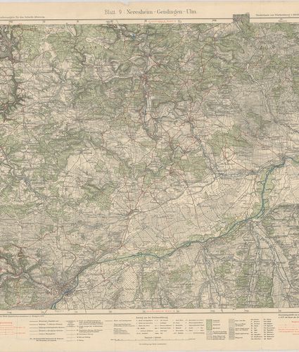
| Title | Neresheim–Geislingen–Ulm. Blatt 9. |
| Main title | Neresheim–Geislingen–Ulm közötti terület (Németo.) topográfiai térképe 1929-ben. |
483. Sulz–Schramberg–Tuttlingen. Blatt 10. [B IV a 1020]
Institute and Museum of Military History •
B IV a
•
B IV Német birodalom
•
B I–XV. Európa
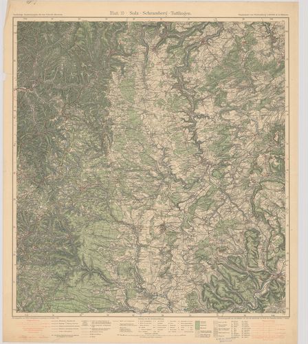
| Title | Sulz–Schramberg–Tuttlingen. Blatt 10. |
| Main title | Sulz–Schramberg–Tuttlingen közötti terület (Németo.) topográfiai térképe 1931-ben. |
484. Hechingen–Tuttlingen–Sigmaringen. Blatt 11. [B IV a 1021]
Institute and Museum of Military History •
B IV a
•
B IV Német birodalom
•
B I–XV. Európa
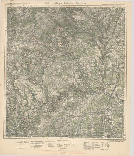
| Title | Hechingen–Tuttlingen–Sigmaringen. Blatt 11. |
| Main title | Hechingen–Tuttlingen–Sigmaringen közötti terület (Németo.) topográfiai térképe 1929-ben. |
485. Ehingen–Riedlingen–Biberach. Blatt 12. [B IV a 1022]
Institute and Museum of Military History •
B IV a
•
B IV Német birodalom
•
B I–XV. Európa
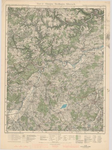
| Title | Ehingen–Riedlingen–Biberach. Blatt 12. |
| Main title | Ehingen–Riedlingen–Biberach közötti terület (Németo.) topográfiai térképe 1934-ben. |
486. Ulm–Laupheim–Memmingen. Blatt 13. [B IV a 1023]
Institute and Museum of Military History •
B IV a
•
B IV Német birodalom
•
B I–XV. Európa
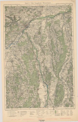
| Title | Ulm–Laupheim–Memmingen. Blatt 13. |
| Main title | Ulm–Laupheim–Memmingen közötti terület (Németo.) topográfiai térképe 1933-ban. |
487. Waldsee–Friedrichshafen–Bregenz. Blatt 14. [B IV a 1024]
Institute and Museum of Military History •
B IV a
•
B IV Német birodalom
•
B I–XV. Európa
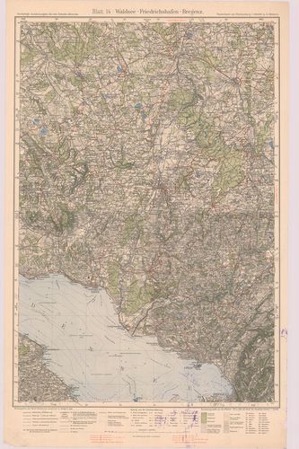
| Title | Waldsee–Friedrichshafen–Bregenz. Blatt 14. |
| Main title | Waldsee–Friedrichshafen–Bregenz közötti terület (Németo.) topográfiai térképe 1928-ban. |
488. Memmingen–Wangen–Kempten. Blatt 15. [B IV a 1025]
Institute and Museum of Military History •
B IV a
•
B IV Német birodalom
•
B I–XV. Európa
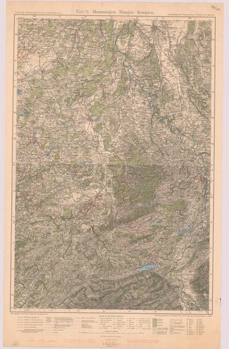
| Title | Memmingen–Wangen–Kempten. Blatt 15. |
| Main title | Memmingen–Wangen–Kempten közötti terület (Németo.) topográfiai térképe 1932-ben. |
489. Unterland I. Heilbronn–Heidelberg. Unterland II. Ellwagen–Ha... [B IV a 1026]
Institute and Museum of Military History •
B IV a
•
B IV Német birodalom
•
B I–XV. Európa
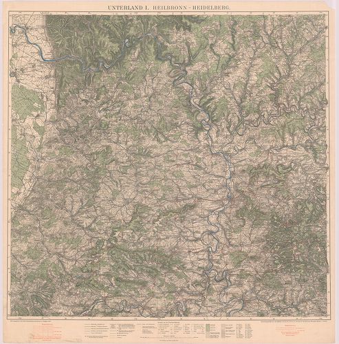
| Title | Unterland I. Heilbronn–Heidelberg. Unterland II. Ellwagen–Hall–Rothenburg o. d. t. |
| Main title | Heilbronn–Heidelberg és Ellwagen–Hall–Rothenburg o.d.t. közötti terület (Németo.) topográfiai térképe 1927-ben. |
490. Gemeinde und Kreiskarte von Baden–Württemberg. Stand 1.7.197... [B IV a 1027]
Institute and Museum of Military History •
B IV a
•
B IV Német birodalom
•
B I–XV. Európa
| Title | Gemeinde und Kreiskarte von Baden–Württemberg. Stand 1.7.1971. Kreise, Regierungsbezirke und Regionen nach dem Kreisreformgesetz und dem Regionalverbandsgesetz. |
| Main title | Baden–Württemberg (Németo.) község és körzet (kerület) térképe. |
491. Geographische Landesaufnahme Naturräumliche Gliederung, Deut... [B IV a 1028]
Institute and Museum of Military History •
B IV a
•
B IV Német birodalom
•
B I–XV. Európa
| Title | Geographische Landesaufnahme Naturräumliche Gliederung, Deutschlands. – Bremerhaven, 39. |
492. Geographische Landesaufnahme Naturräumliche Gliederung, Deut... [B IV a 1028/1]
Institute and Museum of Military History •
B IV a
•
B IV Német birodalom
•
B I–XV. Európa
| Title | Geographische Landesaufnahme Naturräumliche Gliederung, Deutschlands. – Braunschweig, 87. |
493. Geographische Landesaufnahme Naturräumliche Gliederung, Deut... [B IV a 1028/2]
Institute and Museum of Military History •
B IV a
•
B IV Német birodalom
•
B I–XV. Európa
| Title | Geographische Landesaufnahme Naturräumliche Gliederung, Deutschlands. – Husum. 22. |
494. Karte des Deutschen Reiches. [B IV a 1041]
Institute and Museum of Military History •
B IV a
•
B IV Német birodalom
•
B I–XV. Európa
| Title | Karte des Deutschen Reiches. |
495. [Németország.] [B IV a 1045]
Institute and Museum of Military History •
B IV a
•
B IV Német birodalom
•
B I–XV. Európa
| Title | [Németország.] |
496. Topographischer Atlas von Bayern. [B IV a 1046]
Institute and Museum of Military History •
B IV a
•
B IV Német birodalom
•
B I–XV. Európa
| Title | Topographischer Atlas von Bayern. |
497. Deutsche Karte. [B IV a 1046/1]
Institute and Museum of Military History •
B IV a
•
B IV Német birodalom
•
B I–XV. Európa
| Title | Deutsche Karte. |
498. Vergrösserung der Karte des Deutschen Reichs M. 1:100 000. i... [B IV a 1046/2]
Institute and Museum of Military History •
B IV a
•
B IV Német birodalom
•
B I–XV. Európa
| Title | Vergrösserung der Karte des Deutschen Reichs M. 1:100 000. in M. 1:50 000. |
499. Topogr.[aphische] Übersichtskarte des Deutschen Reiches. Bam... [B IV a 1050]
Institute and Museum of Military History •
B IV a
•
B IV Német birodalom
•
B I–XV. Európa
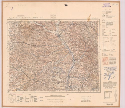
| Title | Topogr.[aphische] Übersichtskarte des Deutschen Reiches. Bamberg 153. |
| Main title | Németország: Bamberg környékének topográfiai áttekintő térképe 1940-ben. |
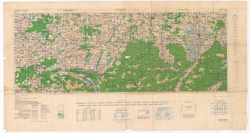
500. Germany. Salzburg Sheet N. 48. – Köln Sheet K. 51. [B IV a 1051]
Institute and Museum of Military History •
B IV a
•
B IV Német birodalom
•
B I–XV. Európa
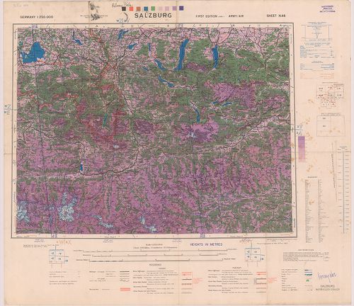
| Title | Germany. Salzburg Sheet N. 48. – Köln Sheet K. 51. |
| Main title | Németország: Salzburg (48.) és Köln (51) 1:250 000 ma. lapok. |