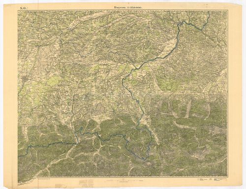
251. Topographische Karte des Regierungs-Bezirks Arnsberg nebst d... [B IV a 402/23]
Institute and Museum of Military History •
B IV a
•
B IV Német birodalom
•
B I–XV. Európa
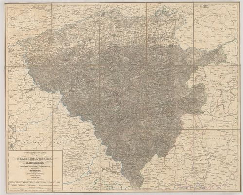
| Title | Topographische Karte des Regierungs-Bezirks Arnsberg nebst dem angrenzenden Landestheilen. |
| Main title | Arnsberg környékének topográfiai térképe 1860-ban. |
252. Karte der Rhein Gegenden von Käyserswerth bis Arnheim. [B IV a 402/29]
Institute and Museum of Military History •
B IV a
•
B IV Német birodalom
•
B I–XV. Európa
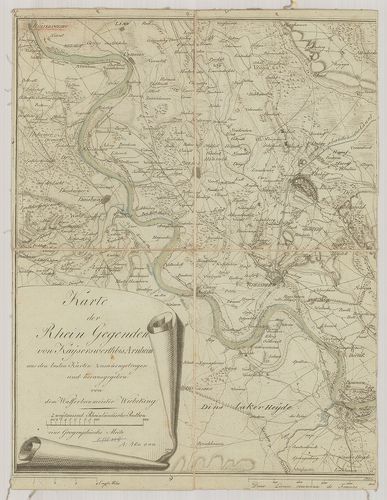
| Title | Karte der Rhein Gegenden von Käyserswerth bis Arnheim. |
| Main title | Mt.: [Pannerdeni csatorna.]A Rajna vidék térképe Käyserswerth-től Arnheim-ig. |
253. Ganz neue Vorstellung des Rhein-Stroms von Basel bis Coblenz... [B IV a 402/30]
Institute and Museum of Military History •
B IV a
•
B IV Német birodalom
•
B I–XV. Európa
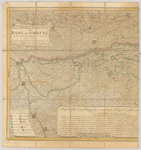
| Title | Ganz neue Vorstellung des Rhein-Stroms von Basel bis Coblenz. Terv.: – 1792–1793. |
| Main title | A Rajna vidék térképe Baseltől-Koblenz-ig 1793-ban. |
254. Circulus Westphalicus in suas Provincias et Ditiones. [B IV a 403]
Institute and Museum of Military History •
B IV a
•
B IV Német birodalom
•
B I–XV. Európa
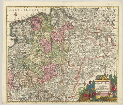
| Title | Circulus Westphalicus in suas Provincias et Ditiones. |
| Main title | Vesztfália tartomány térképe. |
255. Circulus Bavariae in suas quasque Ditiones tam cum finitimis... [B IV a 404]
Institute and Museum of Military History •
B IV a
•
B IV Német birodalom
•
B I–XV. Európa
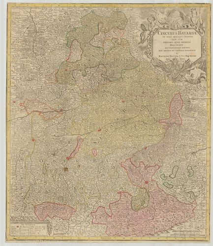
| Title | Circulus Bavariae in suas quasque Ditiones tam cum finitimis, quam Insertis Regionibus accuratissime divisus… |
| Main title | Bajorország általános térképe. |
256. Circulus Bavaricus… [B IV a 405]
Institute and Museum of Military History •
B IV a
•
B IV Német birodalom
•
B I–XV. Európa
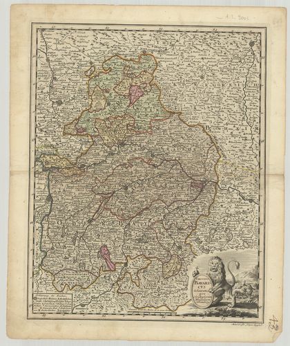
| Title | Circulus Bavaricus… |
| Main title | Bajorország térképe. |
257. Charte des Bayrischen Kreises. [B IV a 406]
Institute and Museum of Military History •
B IV a
•
B IV Német birodalom
•
B I–XV. Európa
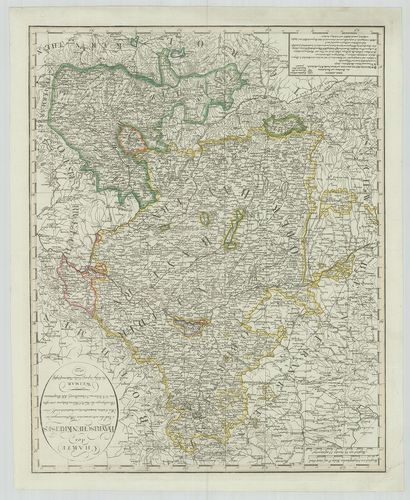
| Title | Charte des Bayrischen Kreises. |
| Main title | Bajorország térképe 1802-ben. |
258. Chur-Bayern. [B IV a 407]
Institute and Museum of Military History •
B IV a
•
B IV Német birodalom
•
B I–XV. Európa
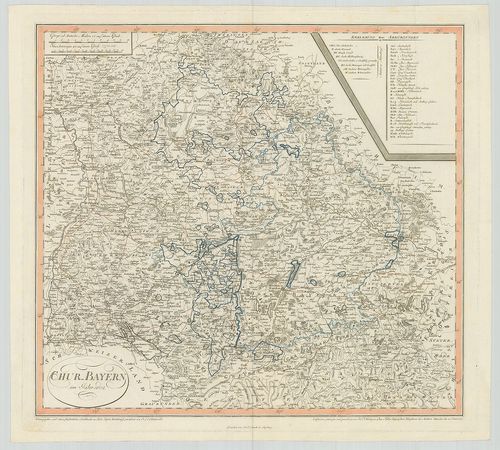
| Title | Chur-Bayern. |
| Main title | A Bajor választófejedelemség térképe 1802-ben. |
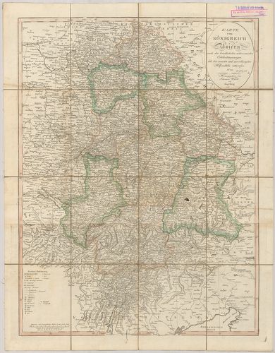
259. Königreich Baiern. [B IV a 408]
Institute and Museum of Military History •
B IV a
•
B IV Német birodalom
•
B I–XV. Európa
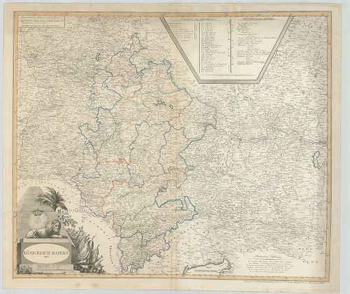
| Title | Königreich Baiern. |
| Main title | A Bajor Királyság térképe 1806-ban. |
260. Der Bayrische, Schwaebische und Fraenkische Kreis. [B IV a 409]
Institute and Museum of Military History •
B IV a
•
B IV Német birodalom
•
B I–XV. Európa
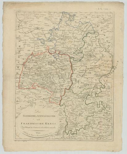
| Title | Der Bayrische, Schwaebische und Fraenkische Kreis. |
| Main title | Bajorország, Svábföld és Frankföld térképe 1807-ben. |
261. Charte von dem Königreiche Bayern. [B IV a 410]
Institute and Museum of Military History •
B IV a
•
B IV Német birodalom
•
B I–XV. Európa
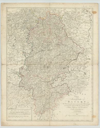
| Title | Charte von dem Königreiche Bayern. |
| Main title | A Bajor Királyság térképe 1807-ben. |
262. Karte vom Königreich Baiern. [B IV a 411]
Institute and Museum of Military History •
B IV a
•
B IV Német birodalom
•
B I–XV. Európa
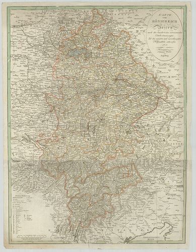
| Title | Karte vom Königreich Baiern. |
| Main title | A Bajor Királyság térképe 1808-ban. |
263. Karte vom Königreich Baiern… [B IV a 411/1]
Institute and Museum of Military History •
B IV a
•
B IV Német birodalom
•
B I–XV. Európa
| Title | Karte vom Königreich Baiern… |
| Main title | A Bajor Királyság térképe 1812-ben, kerületi beosztással. |
264. Militair Karte von Süd-Deutschland. [B IV a 411/2]
Institute and Museum of Military History •
B IV a
•
B IV Német birodalom
•
B I–XV. Európa
| Title | Militair Karte von Süd-Deutschland. |
| Main title | Dél-Németország katonai térképe. |
265. Die Baierische Monarchie. [B IV a 412]
Institute and Museum of Military History •
B IV a
•
B IV Német birodalom
•
B I–XV. Európa
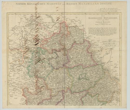
| Title | Die Baierische Monarchie. |
| Main title | A Bajor Királyság térképe kerületi beosztással 1808-ban. |
266. Bayern, Württemberg und Baden. [B IV a 413]
Institute and Museum of Military History •
B IV a
•
B IV Német birodalom
•
B I–XV. Európa
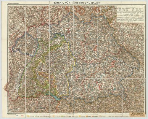
| Title | Bayern, Württemberg und Baden. |
| Main title | Bajorország, Württemberg és Baden tartományok térképe. |
267. [Bajorország.] Haidhausen-Isen környékének topográfiai térké... [B IV a 414]
Institute and Museum of Military History •
B IV a
•
B IV Német birodalom
•
B I–XV. Európa
| Title | [Bajorország.] Haidhausen-Isen környékének topográfiai térképe. |
268. Neueste Karte von Bayern, Württemberg, Baden und Hohenzoller... [B IV a 416]
Institute and Museum of Military History •
B IV a
•
B IV Német birodalom
•
B I–XV. Európa
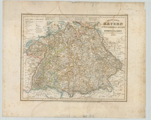
| Title | Neueste Karte von Bayern, Württemberg, Baden und Hohenzollern. |
| Main title | Bajorország, Württemberg, Baden és Hohenzollern tartományok térképe 1847-ben. |
269. Carte del Palatinato di Baviera. [B IV a 417]
Institute and Museum of Military History •
B IV a
•
B IV Német birodalom
•
B I–XV. Európa

| Title | Carte del Palatinato di Baviera. |
| Main title | Bajorország térképe. |
270. Das Königreich Bayern. [B IV a 420]
Institute and Museum of Military History •
B IV a
•
B IV Német birodalom
•
B I–XV. Európa
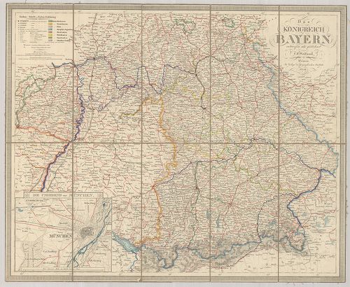
| Title | Das Königreich Bayern. |
| Main title | Mt.: Die Umgegend von München. (München és környéke.) |
| Subject | A Bajor Királyság térképe 1846-ban. |
271. S. Rom. Imperii Circvli et Electoratvs Bavariae Tabvla Chorc... [B IV a 421]
Institute and Museum of Military History •
B IV a
•
B IV Német birodalom
•
B I–XV. Európa
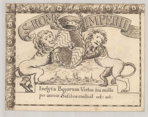
| Title | S. Rom. Imperii Circvli et Electoratvs Bavariae Tabvla Chorcographica. |
| Main title | A Bajor választófejedelemség térképe 1671-ben. |
272. Electoratvs Bavariae Compendiosa delineato. Typvs Circuli Ba... [B IV a 421/1]
Institute and Museum of Military History •
B IV a
•
B IV Német birodalom
•
B I–XV. Európa
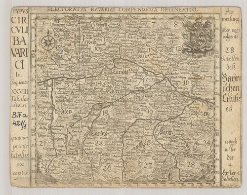
| Title | Electoratvs Bavariae Compendiosa delineato. Typvs Circuli Bavarici… |
| Main title | A Bajor választófejedelemség térképe 1684-ben. |
273. Mappa Electoratus et Ducatus Bavariae Superioris et Inferior... [B IV a 422]
Institute and Museum of Military History •
B IV a
•
B IV Német birodalom
•
B I–XV. Európa
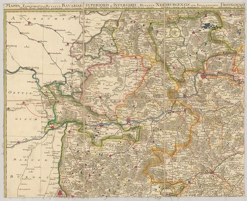
| Title | Mappa Electoratus et Ducatus Bavariae Superioris et Inferioris, Ducatus Neoburgensis cum Episcopatibus Frisingensi Ratisbonensi, Passaviensi et Praepositura Bergtolsgadensi… |
| Main title | A Bajor választófejedelemség, Neuburg hercegség, Passau püspökség, Berchtesgadeni prépostság térképe a 17. században. |
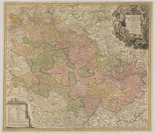
274. Le Palatinat et Electorat du Rhein… [B IV a 423]
Institute and Museum of Military History •
B IV a
•
B IV Német birodalom
•
B I–XV. Európa
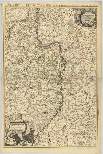
| Title | Le Palatinat et Electorat du Rhein… |
| Main title | A Rajna-Pfalz választófejedelemség térképe 1695-ben. |
275. Partie Occidentale du Rhein le Duché de Simmeren, les Comtés... [B IV a 424]
Institute and Museum of Military History •
B IV a
•
B IV Német birodalom
•
B I–XV. Európa
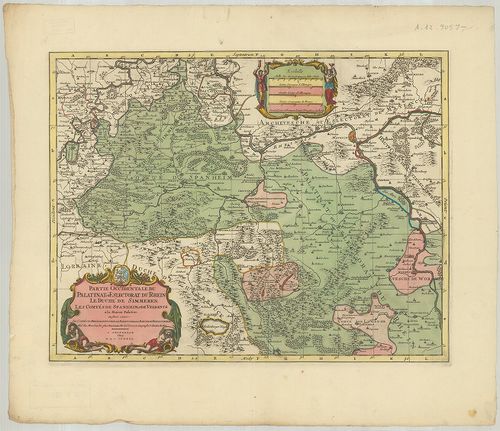
| Title | Partie Occidentale du Rhein le Duché de Simmeren, les Comtés de Spanheim et de Veldentz a la Maison Palatine. |
| Main title | A Rajna-Pfalz (Ny-i rész) választófejedelemség, Simmern hercegség. Sponheim és Veldenz grófság térképe. |
276. Hassiae Svperioris et Wetterav… [B IV a 425]
Institute and Museum of Military History •
B IV a
•
B IV Német birodalom
•
B I–XV. Európa
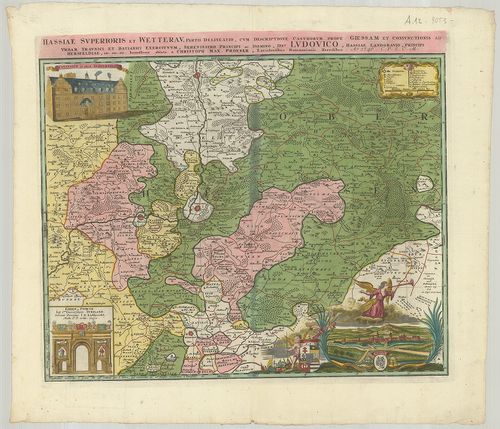
| Title | Hassiae Svperioris et Wetterav… |
| Main title | Felső-Hessen és Wetterau vidékének térképe 1746-ban. |
277. Territorium Seculare Episcopatus Spirensis una cum terris ad... [B IV a 426]
Institute and Museum of Military History •
B IV a
•
B IV Német birodalom
•
B I–XV. Európa
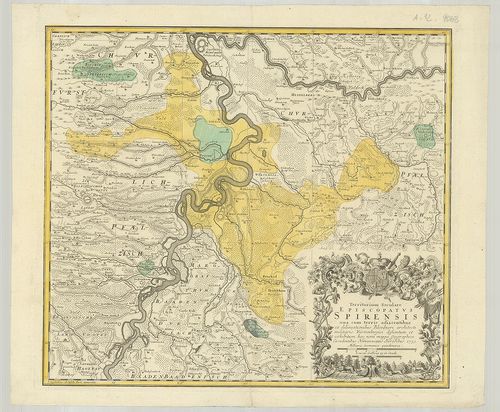
| Title | Territorium Seculare Episcopatus Spirensis una cum terris adiacentibus… |
| Main title | A Speyer-i püspökség térképe 1753-ban. |
278. Delineatio aureae Sterilitatis Herciniensis i. e. Herciniae ... [B IV a 427]
Institute and Museum of Military History •
B IV a
•
B IV Német birodalom
•
B I–XV. Európa
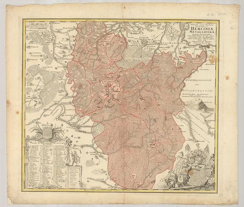
| Title | Delineatio aureae Sterilitatis Herciniensis i. e. Herciniae Metalliferae accurata Chorographia… |
| Main title | A Hercinai erdős-hegység térképe. |
279. Territorium Seculare Episcopatvs Wormatiensis Tabula Geograp... [B IV a 428]
Institute and Museum of Military History •
B IV a
•
B IV Német birodalom
•
B I–XV. Európa
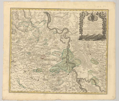
| Title | Territorium Seculare Episcopatvs Wormatiensis Tabula Geographica… |
| Main title | A Worms-i püspökség földrajzi térképe 1752-ben. |
280. Die Grafschaft Pyrmont mit den umliegenden Hannoverischen, B... [B IV a 429]
Institute and Museum of Military History •
B IV a
•
B IV Német birodalom
•
B I–XV. Európa
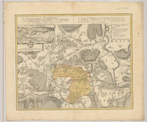
| Title | Die Grafschaft Pyrmont mit den umliegenden Hannoverischen, Braunschweig und Lippischen auch Paderbornischen Graenzlaendern. La Comté de Pyrmont avec les Environs et les Confins des Pais d’Hannovre, de Brounsvic, de Paderborn, et de la Comte de Lippe… |
| Main title | Mt.: Gegend des Schlosses und Neustadt Pyrmont. (Pyrmont térképe a grófi palotával) |
| Subject | Pyrmont grófság térképe a környező tartományokkal 1752-ben. |
281. Le Duché de Berg, le comté de Homberg, les Seigneuries de Ha... [B IV a 430]
Institute and Museum of Military History •
B IV a
•
B IV Német birodalom
•
B I–XV. Európa
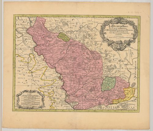
| Title | Le Duché de Berg, le comté de Homberg, les Seigneuries de Hardenberg, et de Wildenborg. |
| Main title | A Berg-i hercegség, Homberg grófság, Hardenberg és Wildenborg térképe. |
282. Uebersichtskarte des Königreiches Bayern… Ortskarte. [B IV a 432]
Institute and Museum of Military History •
B IV a
•
B IV Német birodalom
•
B I–XV. Európa
| Title | Uebersichtskarte des Königreiches Bayern… Ortskarte. |
| Main title | A Bajor Királyság topográfiai térképe (helységnevekkel) 1853-ban. |
283. Uebersichtskarte des Königreiches Bayern… Terrain Karte. [B IV a 433]
Institute and Museum of Military History •
B IV a
•
B IV Német birodalom
•
B I–XV. Európa
| Title | Uebersichtskarte des Königreiches Bayern… Terrain Karte. |
| Main title | A Bajor Királyság topográfiai térképe (síkrajz) 1853-ban. |
284. Chorographia Bavariae. [B IV a 447]
Institute and Museum of Military History •
B IV a
•
B IV Német birodalom
•
B I–XV. Európa
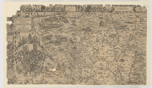
| Title | Chorographia Bavariae. |
| Main title | Bajorország térképe 1579-ben. |
285. Bayerische Landtaflen. Chorographia Bavariae. [B IV a 447/1]
Institute and Museum of Military History •
B IV a
•
B IV Német birodalom
•
B I–XV. Európa
| Title | Bayerische Landtaflen. Chorographia Bavariae. |
| Main title | Bajorország atlasza 1568-ban. |
286. Exactissima Statuum Totius Ducatus Bavariae…] [B IV a 448]
Institute and Museum of Military History •
B IV a
•
B IV Német birodalom
•
B I–XV. Európa
| Title | Exactissima Statuum Totius Ducatus Bavariae…] |
| Main title | Bajorország térképe. |
287. Topographisch-militairischer Atlas von dem Koenigreiche Baye... [B IV a 449]
Institute and Museum of Military History •
B IV a
•
B IV Német birodalom
•
B I–XV. Európa
| Title | Topographisch-militairischer Atlas von dem Koenigreiche Bayern und dem Fürstenthum Lichtenstein… |
| Main title | A Bajor Királyság és a Liechtenstein-i hercegség topográfiai térképe 1813-ban. |
288. Uebersicht des topographischen Atlasses vom Koenigreich Baye... [B IV a 450]
Institute and Museum of Military History •
B IV a
•
B IV Német birodalom
•
B I–XV. Európa
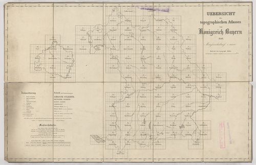
| Title | Uebersicht des topographischen Atlasses vom Koenigreich Bayern. |
| Main title | A Bajor Királyság topográfiai térképe 1848-ban. |
289. Uebersicht des topographischen Atlasses vom Koenigreich Baye... [B IV a 451]
Institute and Museum of Military History •
B IV a
•
B IV Német birodalom
•
B I–XV. Európa
| Title | Uebersicht des topographischen Atlasses vom Koenigreich Bayern. |
| Main title | A Bajor Királyság topográfiai térképe 1843-ban. |
290. Bayern. [B IV a 453]
Institute and Museum of Military History •
B IV a
•
B IV Német birodalom
•
B I–XV. Európa
| Title | Bayern. |
| Main title | Bajorország térképe 1921-ben. |
291. I. Electoratus Moguntinus ut et Palatin Infer. Hassie et Flu... [B IV a 458]
Institute and Museum of Military History •
B IV a
•
B IV Német birodalom
•
B I–XV. Európa
| Title | I. Electoratus Moguntinus ut et Palatin Infer. Hassie et Fluminis Moeni alique pars exhibens simul… II. Circuli Franconiae Pars orientalis et Potior novissime… |
| Main title | Mainz érsekség és Hessen választófejedelemség és a Frankföld térképe. |
292. Franconia. [B IV a 459]
Institute and Museum of Military History •
B IV a
•
B IV Német birodalom
•
B I–XV. Európa
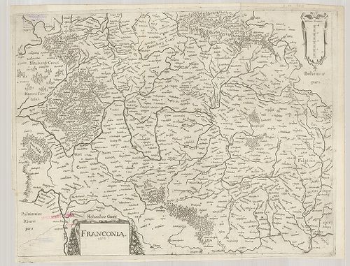
| Title | Franconia. |
| Main title | A Frankföld térképe. |
293. Circulus Franconicus ad Occidentem vergens cum regionibus co... [B IV a 460]
Institute and Museum of Military History •
B IV a
•
B IV Német birodalom
•
B I–XV. Európa
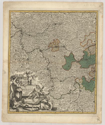
| Title | Circulus Franconicus ad Occidentem vergens cum regionibus contigius… |
| Main title | A Frankföld Ny-i részének térképe. |
294. Karte vom Fürstenthum Anspach oder Onolzbach oder Burggrafth... [B IV a 469]
Institute and Museum of Military History •
B IV a
•
B IV Német birodalom
•
B I–XV. Európa
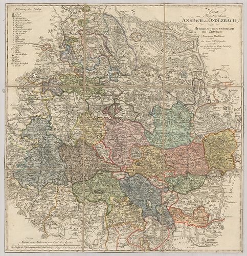
| Title | Karte vom Fürstenthum Anspach oder Onolzbach oder Burggrafthum Unterhalb des Gebürges. |
| Main title | Az Ansbach-i hercegség térképe 1792-ben. |
295. Special Charte der Laender in Franken enthaltend das Hochsti... [B IV a 472]
Institute and Museum of Military History •
B IV a
•
B IV Német birodalom
•
B I–XV. Európa
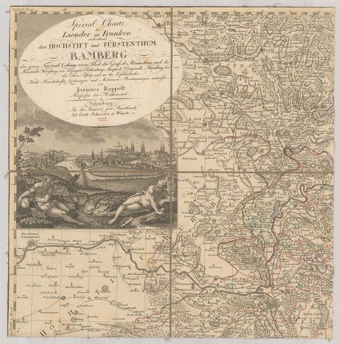
| Title | Special Charte der Laender in Franken enthaltend das Hochstift und Fürstenthum Bamberg… |
| Main title | Frankföld és a Bamberg-i hercegség részletes térképe 1801-ben. |
296. Special-Charte der Kön. Baier. Provinz Bamberg… [B IV a 472/1]
Institute and Museum of Military History •
B IV a
•
B IV Német birodalom
•
B I–XV. Európa
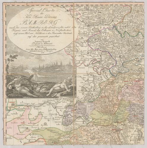
| Title | Special-Charte der Kön. Baier. Provinz Bamberg… |
| Main title | Bamberg bajor tartomány részletes térképe 1808-ban. |
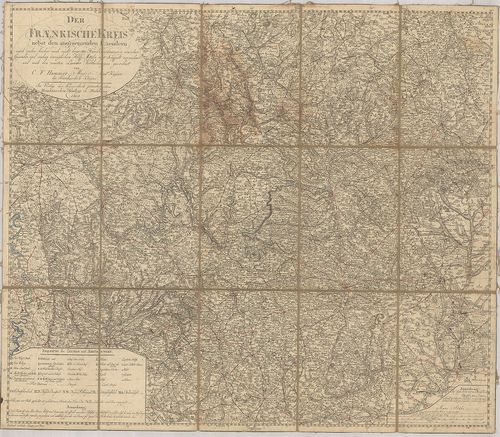
297. Der Fraenkische Kreis nebst den angraenzenden Laendern… [B IV a 474/1]
Institute and Museum of Military History •
B IV a
•
B IV Német birodalom
•
B I–XV. Európa
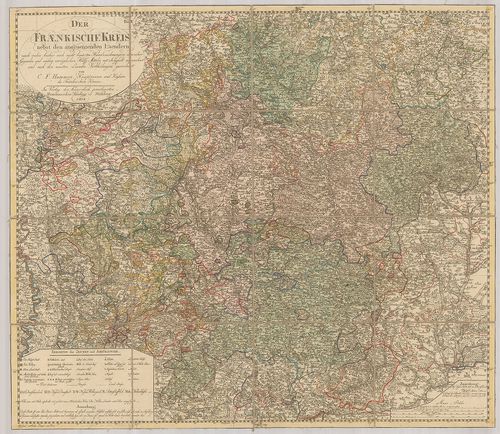
| Title | Der Fraenkische Kreis nebst den angraenzenden Laendern… |
| Main title | A Frankföld térképe 1804-ben a környező tartományokkal. |
298. Der Fraenkische Kreis nebst den angraenzenden Laendern… [B IV a 474/2]
Institute and Museum of Military History •
B IV a
•
B IV Német birodalom
•
B I–XV. Európa
| Title | Der Fraenkische Kreis nebst den angraenzenden Laendern… |
| Main title | A Frankföld térképe 1805-ben a környező tartományokkal. |
299. Charte von Nürnberg. [B IV a 477]
Institute and Museum of Military History •
B IV a
•
B IV Német birodalom
•
B I–XV. Európa
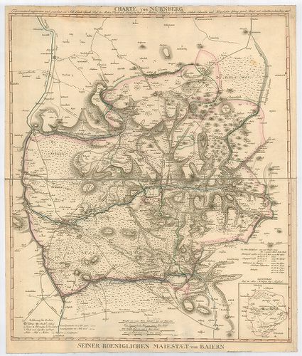
| Title | Charte von Nürnberg. |
| Main title | Mt.: Lichtenau liegt im alten Nordgau bey Anspach. (Lichtenau és környéke.) |
| Subject | Nürnberg és környékének térképe 1811-ben. |
300. Exactissima Palatinatus ad Rhenum Tabula in qua Episcopatus ... [B IV a 488]
Institute and Museum of Military History •
B IV a
•
B IV Német birodalom
•
B I–XV. Európa
| Title | Exactissima Palatinatus ad Rhenum Tabula in qua Episcopatus Wormaciensis et Spirensis Ducatus Bipontimus… |
| Main title | A Pfalz-i őrgrófság, a Worms-Speyer-i püspökség és a Zweibrücken-i hercegség térképe. |