421. Deutsche Demokratische Republik. [B IV a 893]
Institute and Museum of Military History •
B IV a
•
B IV Német birodalom
•
B I–XV. Európa
| Title | Deutsche Demokratische Republik. |
| Main title | Mt.: [Berlin–Európa városainak légi közlekedési térképe.] |
| Subject | A Német Demokratikus Köztársaság térképe úthálózattal. |
422. [Németország.] Übersichtskarte. Ostblatt [B IV a 897]
Institute and Museum of Military History •
B IV a
•
B IV Német birodalom
•
B I–XV. Európa
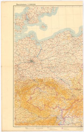
| Title | [Németország.] Übersichtskarte. Ostblatt |
| Main title | Németország (Magdeburg–Polozk–Regensburg–Tschernowitz kivágat.) áttekintő térképe 1944-ben. |
423. [Németország.] Übersichtskarte. Mittelblatt. [B IV a 897/1]
Institute and Museum of Military History •
B IV a
•
B IV Német birodalom
•
B I–XV. Európa
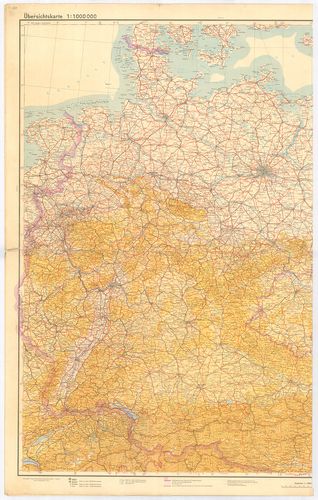
| Title | [Németország.] Übersichtskarte. Mittelblatt. |
| Main title | Németország (Nancy–Lemberg–Klagenfurt–Odense kivágat) áttekintő térképe 1944-ben. |
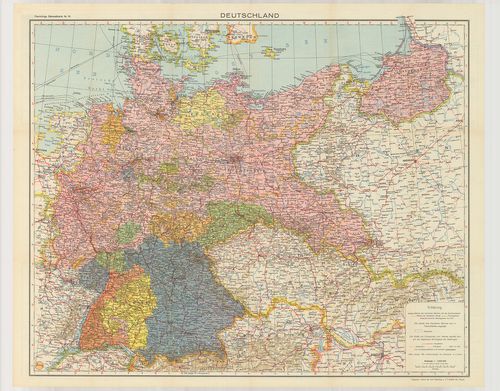
424. Deutschland. [B IV a 907]
Institute and Museum of Military History •
B IV a
•
B IV Német birodalom
•
B I–XV. Európa
| Title | Deutschland. |
| Main title | Németország közigazgatási térképe. |
425. Übersichtskarte von dem Deutsches Reich Westblatt. [B IV a 908]
Institute and Museum of Military History •
B IV a
•
B IV Német birodalom
•
B I–XV. Európa
| Title | Übersichtskarte von dem Deutsches Reich Westblatt. |
| Main title | Nyugat-Németország áttekintő térképe 1945-ben. (Liverpool–Berlin–La Rochelle–Villach kivágat.) |
426. Deutsche Heereskarte nur für den Dienstgebrauch. Operationsk... [B IV a 908/1]
Institute and Museum of Military History •
B IV a
•
B IV Német birodalom
•
B I–XV. Európa
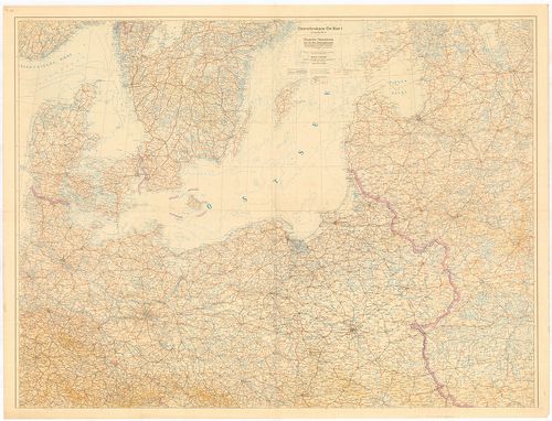
| Title | Deutsche Heereskarte nur für den Dienstgebrauch. Operationskarte Ost Blatt I. 4. kiad. |
| Main title | Németország: a Keleti-tenger vidékének katonai térképe 1945-ben. |
427. JRO Karte. Der Deutsche Westen. [B IV a 908/2]
Institute and Museum of Military History •
B IV a
•
B IV Német birodalom
•
B I–XV. Európa
| Title | JRO Karte. Der Deutsche Westen. |
| Main title | Nyugat-Németország térképe úthálózattal. |
428. Karte Nemacske. [B IV a 910]
Institute and Museum of Military History •
B IV a
•
B IV Német birodalom
•
B I–XV. Európa
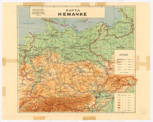
| Title | Karte Nemacske. |
| Main title | Németország térképe 1939 végén. |
429. Des Grossdeutsche Reich mit dem Protektorat Böhmen und Mähre... [B IV a 911]
Institute and Museum of Military History •
B IV a
•
B IV Német birodalom
•
B I–XV. Európa
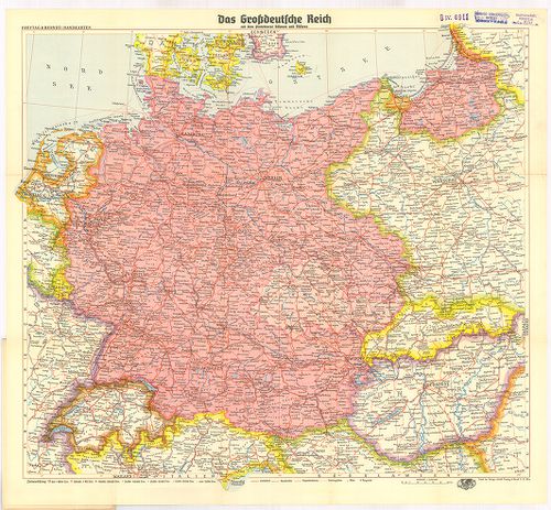
| Title | Des Grossdeutsche Reich mit dem Protektorat Böhmen und Mähren. |
| Main title | A Német Birodalom út-vasúttérképe 1939-ben. |
430. Grossdeutsches Reich. [B IV a 914]
Institute and Museum of Military History •
B IV a
•
B IV Német birodalom
•
B I–XV. Európa
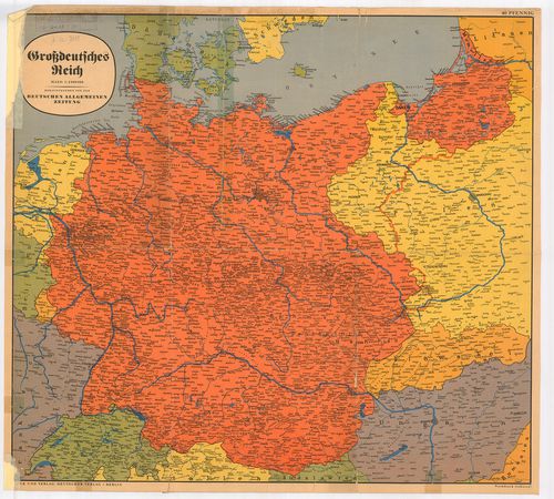
| Title | Grossdeutsches Reich. |
| Main title | A Német Birodalom térképe 1939 végén. |
431. Deutschland. Flemmings Generalkarten. [B IV a 915]
Institute and Museum of Military History •
B IV a
•
B IV Német birodalom
•
B I–XV. Európa
| Title | Deutschland. Flemmings Generalkarten. |
| Main title | 15 mt. a hátold.: 1. Schiffbare Flüsse und Kanäle Mittel-Europas. (Közép-Európa hajózható folyói és csatornái.) 2. Rheinisch-Westfälisches Industrigebiet. (Rajna-Wesztfália iparterülete.) 3. Deutschland-Niederschläge und Temperaturen. (Németország hőmérséklete és csapadék térképe.) 4. Der deutsche Rundfunkverkehr und die Entfernungen von Berlin. (Rádióközvetítő távolság Berlinből.) 5. Deutsche Stämme und Hauptmundarten. (Német nyelvjárás térképe.) 6. Deutschland-Bodenerhebungen. (Németország talajszint emelkedései.) 7. Deutschland-Erdgeschichte. (Geologie.) Németország geológia térképe.) 8. Deutschland-Bodennutzung. (Németország földhasználata.) 9. Deutschland-Waldungen. (Németország erdőségei.) 10. Deutschland Landwirtschaft: Weizen. (Németország mezőgazdasága: Búza.) 11. Gerste (Árpa.) 12. Roggen. (Rozs.) 13. Kartoffeln. (Burgonya.) 14. Deutschland-Bodenschätze. (Németország természeti kincsei.) 15. Deutschland-Industrie. (Németország ipara.) |
| Subject | Németország politikai és közlekedési térképe . |
432. Ravenstein-Karte von Deutschland mit politischer Gliederung. [B IV a 916]
Institute and Museum of Military History •
B IV a
•
B IV Német birodalom
•
B I–XV. Európa
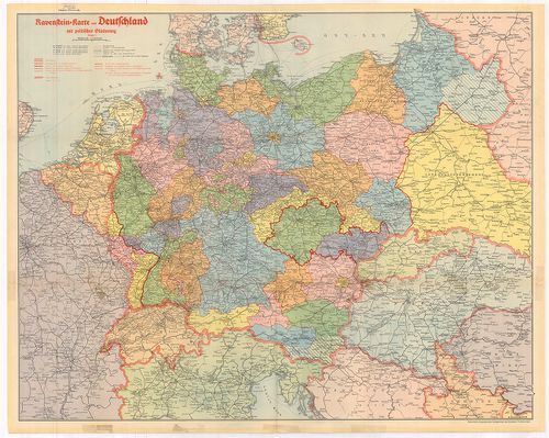
| Title | Ravenstein-Karte von Deutschland mit politischer Gliederung. |
| Main title | Németország politikai és közlekedési térképe kerületi beosztással 1942. novemberében. |
433. Das Deutsche Reich seit dem 13. März 1938. [B IV a 918]
Institute and Museum of Military History •
B IV a
•
B IV Német birodalom
•
B I–XV. Európa
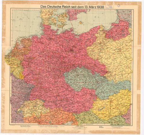
| Title | Das Deutsche Reich seit dem 13. März 1938. |
| Main title | A Német Birodalom térképe 1938. március 13-án. |
434. Das Grossdeutsche Reich und seine Nachbargebiete. [B IV a 919]
Institute and Museum of Military History •
B IV a
•
B IV Német birodalom
•
B I–XV. Európa
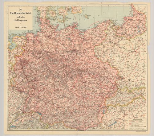
| Title | Das Grossdeutsche Reich und seine Nachbargebiete. |
| Main title | A Német Birodalom térképe 1939 végén. |
435. Sudetenland in 2 Blättern. [B IV a 920]
Institute and Museum of Military History •
B IV a
•
B IV Német birodalom
•
B I–XV. Európa
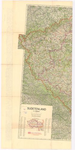
| Title | Sudetenland in 2 Blättern. |
| Main title | Mt.: Politische Grenzen. (Politikai határ.) |
| Subject | Szudétaföld térképe (NY-i rész) 1938. november 20-án. Altenburg–Vöcklaburg–Baden–Freiburg kivágat. |
436. [Kelet-Poroszország, a Visztulától K-re.] [B IV a 921]
Institute and Museum of Military History •
B IV a
•
B IV Német birodalom
•
B I–XV. Európa
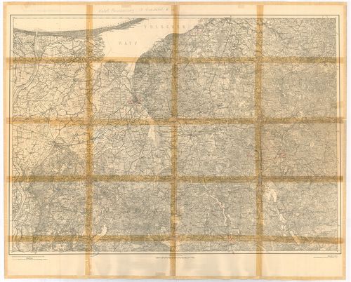
| Title | [Kelet-Poroszország, a Visztulától K-re.] |
437. Vogels Karte des Deutschen Reichs und der Alpenländer. Nr. 1... [B IV a 923]
Institute and Museum of Military History •
B IV a
•
B IV Német birodalom
•
B I–XV. Európa
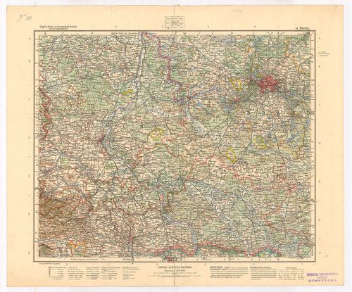
| Title | Vogels Karte des Deutschen Reichs und der Alpenländer. Nr. 14. Blatt Berlin. |
| Main title | A Német Birodalom: Berlin környékének térképe. |
438. Vogels Karte des Deutschen Reichs und der Alpenländer Nr. 15... [B IV a 924]
Institute and Museum of Military History •
B IV a
•
B IV Német birodalom
•
B I–XV. Európa
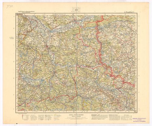
| Title | Vogels Karte des Deutschen Reichs und der Alpenländer Nr. 15. Blatt Frankfurt a. O. M. |
| Main title | A Német Birodalom: Frankfurt am Odera és környékének térképe. |
439. Vogels Karte des Deutschen Reichs und der Alpenländer Nr. 19... [B IV a 925]
Institute and Museum of Military History •
B IV a
•
B IV Német birodalom
•
B I–XV. Európa
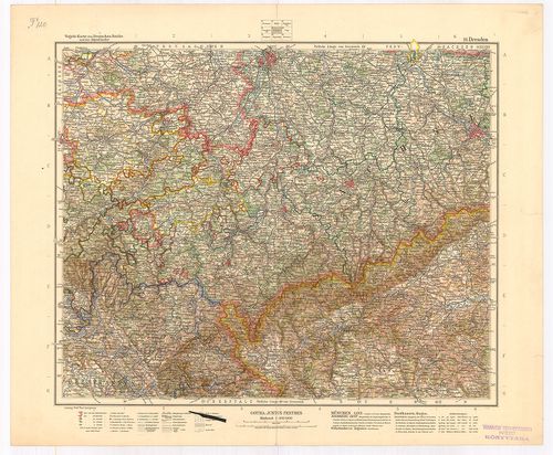
| Title | Vogels Karte des Deutschen Reichs und der Alpenländer Nr. 19. Blatt Dresden. |
| Main title | A Német Birodalom: Drezda környékének térképe. |
440. Deutsches Reich. [B IV a 926]
Institute and Museum of Military History •
B IV a
•
B IV Német birodalom
•
B I–XV. Európa
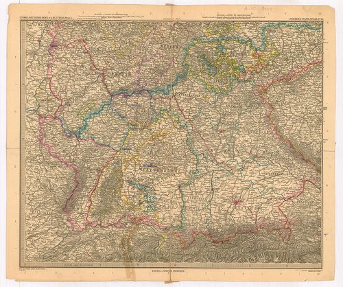
| Title | Deutsches Reich. |
| Main title | Dél-Németország térképe 1895-ben. |