281. Karte der Vogesen. Blatt XII. Odilienberg-Hohwald. [B IV c 402]
Institute and Museum of Military History •
B IV c
•
B IV Német birodalom
•
B I–XV. Európa
| Title | Karte der Vogesen. Blatt XII. Odilienberg-Hohwald. |
282. Eisenbahn Karte von Deutschland und Nachbarländern. [B IV c 403]
Institute and Museum of Military History •
B IV c
•
B IV Német birodalom
•
B I–XV. Európa
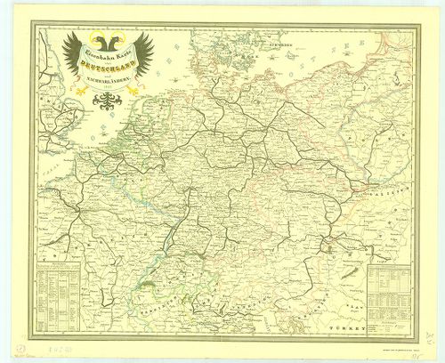
| Title | Eisenbahn Karte von Deutschland und Nachbarländern. |
| Main title | Németország és a környező területek vasúttérképe 1849-ből. |
283. Neuste-Reise-Karte von Deutschland und der angrenzenden Länd... [B IV c 404]
Institute and Museum of Military History •
B IV c
•
B IV Német birodalom
•
B I–XV. Európa
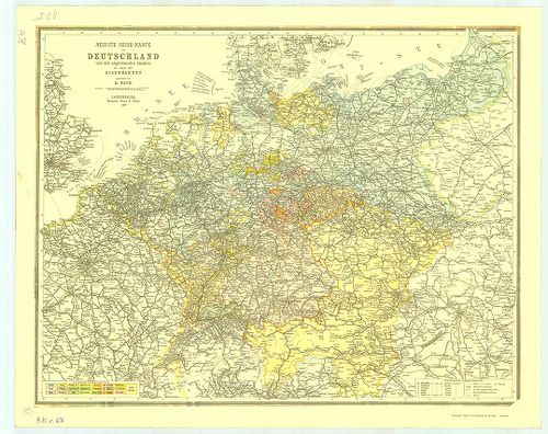
| Title | Neuste-Reise-Karte von Deutschland und der angrenzenden Ländern mit Angabe aller Eisenbahnen. |
| Main title | Németország és a környező országok útitérképe, valamennyi vasútvonal feltüntetésével 1899-ből. |
284. Die Verwaltungsbezirke des Deutschehn Reichs nach dem Stand ... [B IV c 405]
Institute and Museum of Military History •
B IV c
•
B IV Német birodalom
•
B I–XV. Európa
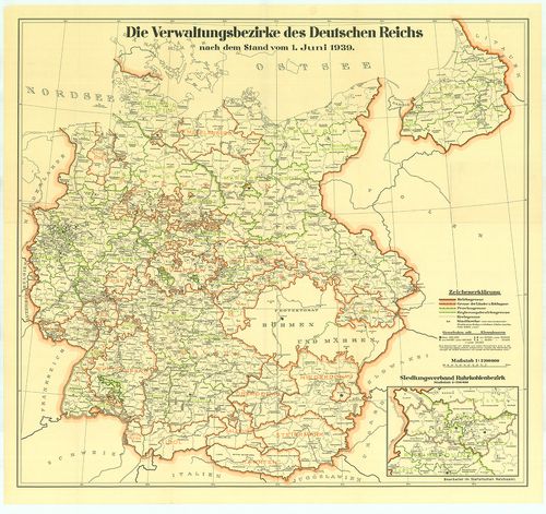
| Title | Die Verwaltungsbezirke des Deutschehn Reichs nach dem Stand vom 1. Juni 1939. |
| Main title | Németország közigazgatási beosztása 1939. jún. 1-jétől. |
285. Luftverkehrkarte des Deutschen Reiches. [B IV c 406]
Institute and Museum of Military History •
B IV c
•
B IV Német birodalom
•
B I–XV. Európa
| Title | Luftverkehrkarte des Deutschen Reiches. |
| Main title | A Német Birodalom légiforgalmi térképe. |
286. Deutschland-Karte. [B IV c 407]
Institute and Museum of Military History •
B IV c
•
B IV Német birodalom
•
B I–XV. Európa
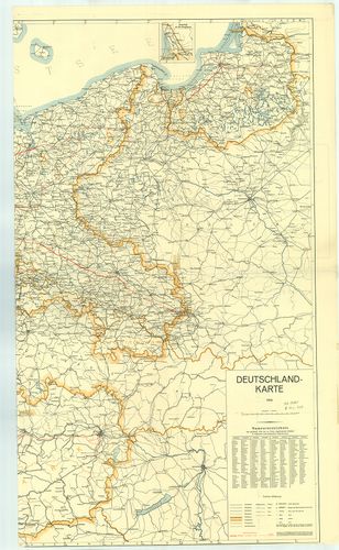
| Title | Deutschland-Karte. |
| Main title | 1 mt.: Memel vidéke. |
| Subject | Németország térképe 1939-ből. A kész és a tervezett autópályákkal. (Alaptérkép 1935. Helyesbítése 1939. január.) |
287. Németország. [B IV c 409]
Institute and Museum of Military History •
B IV c
•
B IV Német birodalom
•
B I–XV. Európa
| Title | Németország. |
288. Militair-Karte von Deutschland. [B IV c 410]
Institute and Museum of Military History •
B IV c
•
B IV Német birodalom
•
B I–XV. Európa
| Title | Militair-Karte von Deutschland. |
289. Militair Charte über den Schwartzwald. [B IV c 411]
Institute and Museum of Military History •
B IV c
•
B IV Német birodalom
•
B I–XV. Európa
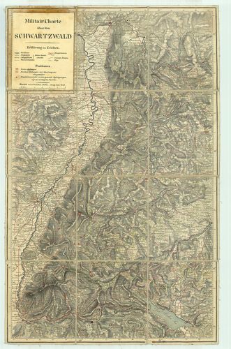
| Title | Militair Charte über den Schwartzwald. |
| Main title | A Fekete-erdő környékének katonai térképe. |
290. Németország (Keleti tartomány) – autótérkép. [B IV c 412]
Institute and Museum of Military History •
B IV c
•
B IV Német birodalom
•
B I–XV. Európa
| Title | Németország (Keleti tartomány) – autótérkép. |
291. Deutschland - Németország. [B IV c 413]
Institute and Museum of Military History •
B IV c
•
B IV Német birodalom
•
B I–XV. Európa
| Title | Deutschland - Németország. |
292. Topographische Karte 1:100 000. C 5914. Wiesbaden. [B IV c 414]
Institute and Museum of Military History •
B IV c
•
B IV Német birodalom
•
B I–XV. Európa
| Title | Topographische Karte 1:100 000. C 5914. Wiesbaden. |
| Main title | Németország topográfiai térképe 1:100 000 ma. C 5914. Wiesbaden szelvény. |
293. Németország autótérképe. [B IV c 415]
Institute and Museum of Military History •
B IV c
•
B IV Német birodalom
•
B I–XV. Európa
| Title | Németország autótérképe. |
294. Bundesrepublik. Der Grosse Autoatlas. 1980. [B IV c 416]
Institute and Museum of Military History •
B IV c
•
B IV Német birodalom
•
B I–XV. Európa
| Title | Bundesrepublik. Der Grosse Autoatlas. 1980. |
| Main title | 1 mt.: Autoreisezüge. |
295. Németország autótérképe. [B IV c 417]
Institute and Museum of Military History •
B IV c
•
B IV Német birodalom
•
B I–XV. Európa
| Title | Németország autótérképe. |
296. Bodensee. [B IV c 418]
Institute and Museum of Military History •
B IV c
•
B IV Német birodalom
•
B I–XV. Európa
| Title | Bodensee. |
297. Deutsche Detailkarte. (1.) Schleswieg-Holstein; Hamburg-Brem... [B IV c 419]
Institute and Museum of Military History •
B IV c
•
B IV Német birodalom
•
B I–XV. Európa
| Title | Deutsche Detailkarte. (1.) Schleswieg-Holstein; Hamburg-Bremen. (2.) Mecklenburg Vorpommen; Brandenburg-Nord. (3.) Niedersachsen nordwest. (4.) Niedersachsen südost. (7.) Nordrhein-Westfalen. (8.) Hessen. |
298. Deutschland. [B IV c 420]
Institute and Museum of Military History •
B IV c
•
B IV Német birodalom
•
B I–XV. Európa
| Title | Deutschland. |
299. WestlicheRhein-Main-Gebeit ca. 50 km um Frankfurt. Umgebungs... [B IV c 421]
Institute and Museum of Military History •
B IV c
•
B IV Német birodalom
•
B I–XV. Európa
| Title | WestlicheRhein-Main-Gebeit ca. 50 km um Frankfurt. Umgebungskarte. |
300. Rhön Wanderkarte. [B IV c 422]
Institute and Museum of Military History •
B IV c
•
B IV Német birodalom
•
B I–XV. Európa
| Title | Rhön Wanderkarte. |