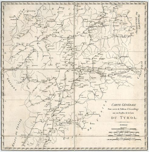
251. Spezial-Karte des Lombardo – Venezianischen Königreichs. [B IX a 328]
Institute and Museum of Military History •
B IX a
•
B IX Ausztria–Magyarország
•
B I–XV. Európa
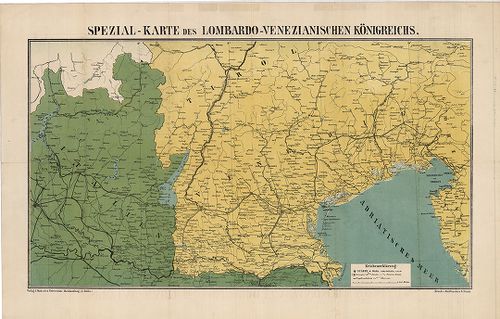
| Title | Spezial-Karte des Lombardo – Venezianischen Königreichs. |
| Main title | A Lombard-Velencei Királyság térképe 1866-ban. |
252. Carte dell Istria. [B IX a 330]
Institute and Museum of Military History •
B IX a
•
B IX Ausztria–Magyarország
•
B I–XV. Európa
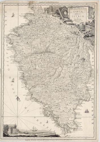
| Title | Carte dell Istria. |
| Main title | Az Isztriai-félsziget térképe 1792-ben. |
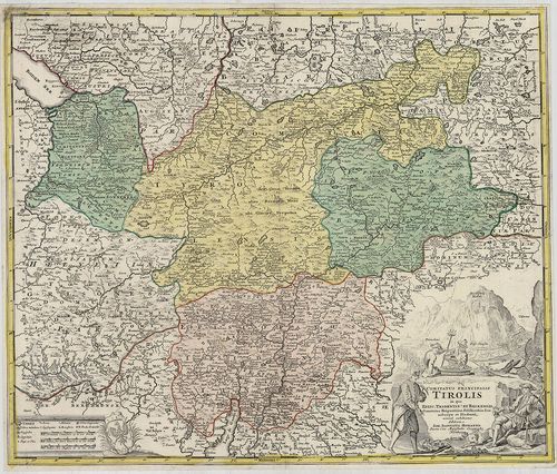
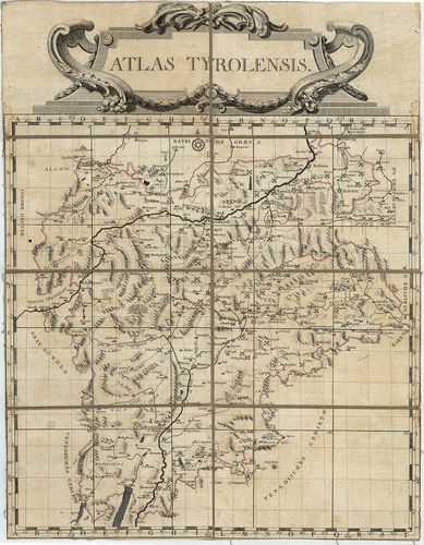
253. Tyrolis Comitatus. [B IX a 336]
Institute and Museum of Military History •
B IX a
•
B IX Ausztria–Magyarország
•
B I–XV. Európa
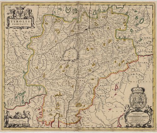
| Title | Tyrolis Comitatus. |
| Main title | A Tirol Grófság térképe a 17. században. |
254. Karte von Tirol, Steyermark und Illyrien. [B IX a 337]
Institute and Museum of Military History •
B IX a
•
B IX Ausztria–Magyarország
•
B I–XV. Európa
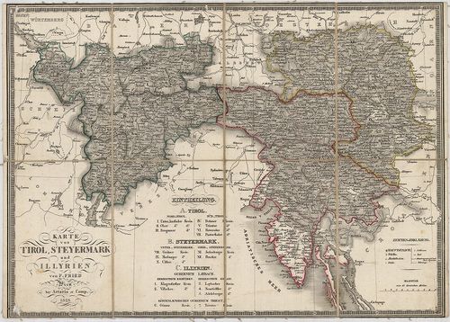
| Title | Karte von Tirol, Steyermark und Illyrien. |
| Main title | Tirol, Stájerország és Illíria térképe 1828-ban. |
255. Tyrol gegen Norden. [B IX a 338]
Institute and Museum of Military History •
B IX a
•
B IX Ausztria–Magyarország
•
B I–XV. Európa
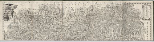
| Title | Tyrol gegen Norden. |
| Main title | Tirol É-i részének térképe a 18. században. |
256. Tyrol gegen Süden. [B IX a 339]
Institute and Museum of Military History •
B IX a
•
B IX Ausztria–Magyarország
•
B I–XV. Európa
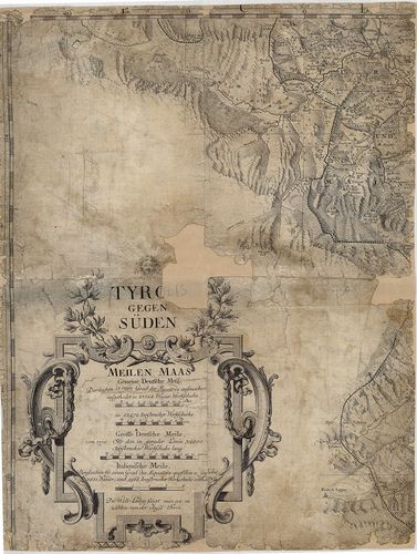
| Title | Tyrol gegen Süden. |
| Main title | Tirol D-i részének térképe a 18. században. |
257. Comitatus Principalis Tirolis in quo Episc. Tribentin et Bri... [B IX a 340]
Institute and Museum of Military History •
B IX a
•
B IX Ausztria–Magyarország
•
B I–XV. Európa
| Title | Comitatus Principalis Tirolis in quo Episc. Tribentin et Brixensis, Comitatus Brigantinus, Feldkirchiae Sonnebergae et Pludentii… |
| Main title | A Tiroli Grófság: Bregenz, Feldkircheni Grófság, Brixen, (Bressanone), Trentoi, Püspökségek térképe 1716-ban. |
258. Karte des Gefürsteten Grafschaft Tyrol. Carte der Tyrol. [B IX a 341]
Institute and Museum of Military History •
B IX a
•
B IX Ausztria–Magyarország
•
B I–XV. Európa
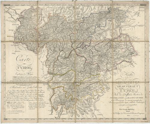
| Title | Karte des Gefürsteten Grafschaft Tyrol. Carte der Tyrol. |
| Main title | A Tiroli Grófság térképe 1804-ben. |
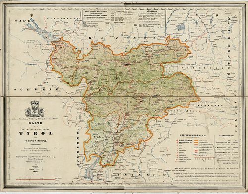
259. Karte der Gefürsteten Grafschaft Tyrol mit Vorarlberg. [B IX a 342]
Institute and Museum of Military History •
B IX a
•
B IX Ausztria–Magyarország
•
B I–XV. Európa
| Title | Karte der Gefürsteten Grafschaft Tyrol mit Vorarlberg. |
| Main title | A Tiroli Grófság és Vorarlberg térképe 1846-ban. |
260. Kreis, – Gerichts, – Völker, – Telegrafen. – und Post-Karte ... [B IX a 343]
Institute and Museum of Military History •
B IX a
•
B IX Ausztria–Magyarország
•
B I–XV. Európa
| Title | Kreis, – Gerichts, – Völker, – Telegrafen. – und Post-Karte der Gefürsteten Grafschaft Tyrol mit Vorarlberg. |
| Main title | A Tiroli Grófság és Vorarlberg kerületi, törvénykezési, népességi, távirda és postahálózat térképe 1850-ben. |
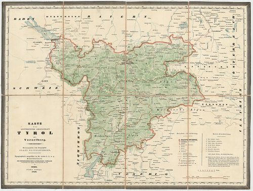
261. Das Kronland Tyrol und Vorarlberg … [B IX a 344]
Institute and Museum of Military History •
B IX a
•
B IX Ausztria–Magyarország
•
B I–XV. Európa
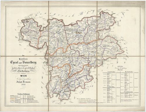
| Title | Das Kronland Tyrol und Vorarlberg … |
| Main title | A Tiroli Grófság és Vorarlberg térképe 1850-ben. |
262. Die Gefürstete Grafschaft Tirol mit Vorarlberg und das Fürst... [B IX a 344/1]
Institute and Museum of Military History •
B IX a
•
B IX Ausztria–Magyarország
•
B I–XV. Európa
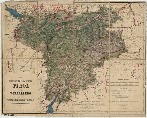
| Title | Die Gefürstete Grafschaft Tirol mit Vorarlberg und das Fürstenthum Liechtenstein. |
| Main title | A Tiroli Grófság, Vorarlberg és a Liechtensteini Hercegség térképe 1864-ben. |
263. Handkarte der gefürsteten Grafschaft Tirol mit dem Lande Vor... [B IX a 345]
Institute and Museum of Military History •
B IX a
•
B IX Ausztria–Magyarország
•
B I–XV. Európa
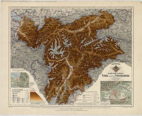
| Title | Handkarte der gefürsteten Grafschaft Tirol mit dem Lande Vorarlberg. |
| Main title | 2 mt. 1. Bregenz und Umgebung. (Bregenz és körny.) 2. Innsbruck u. Umg. (Innsbruck és körny.) |
| Subject | A Tiroli Grófság és Vorarlberg tartomány térképe 1908-ban. |
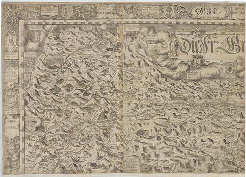
264. Aquila Tirolensis. [B IX a 347/2]
Institute and Museum of Military History •
B IX a
•
B IX Ausztria–Magyarország
•
B I–XV. Európa
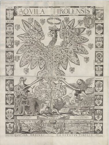
| Title | Aquila Tirolensis. |
| Main title | Tirol térképe 1620-ban. |
265. Stájer Ország. (Stiriae Ducatus.) [B IX a 348]
Institute and Museum of Military History •
B IX a
•
B IX Ausztria–Magyarország
•
B I–XV. Európa
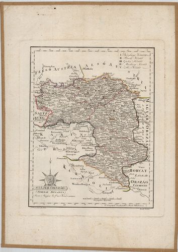
| Title | Stájer Ország. (Stiriae Ducatus.) |
| Main title | Stájerország térképe 1801-ben. |
266. Tirolis, Stájer Ország és Illyria Földképe. [B IX a 349]
Institute and Museum of Military History •
B IX a
•
B IX Ausztria–Magyarország
•
B I–XV. Európa
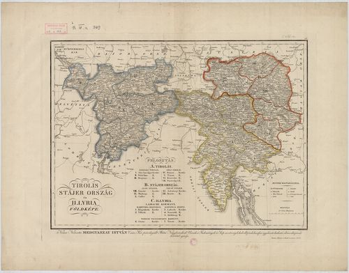
| Title | Tirolis, Stájer Ország és Illyria Földképe. |
267. Carte von Tyrol nach Peter Anich und neuern Hülfsquellen ver... [B IX a 351]
Institute and Museum of Military History •
B IX a
•
B IX Ausztria–Magyarország
•
B I–XV. Európa
| Title | Carte von Tyrol nach Peter Anich und neuern Hülfsquellen verfast von I. E. S. |
| Main title | Tirol térképe Peter Anich térképe alapján1809-ben. |
268. Die gefürstete Grafschaft Tirol nebst Vorarlberg und dem Für... [B IX a 352]
Institute and Museum of Military History •
B IX a
•
B IX Ausztria–Magyarország
•
B I–XV. Európa
| Title | Die gefürstete Grafschaft Tirol nebst Vorarlberg und dem Fürstenthum Liechtenstein… |
| Main title | Mt. Umgebungen von Innsbruck. (Innsbruck és körny.) |
| Subject | A Tiroli Grófság, Vorarlberg és a Liechtensteini Hercegség térképe 1850-ben. |
269. Generalkarte der Gefürsteten Grafschaft Tyrol nebst Vorarlbe... [B IX a 355]
Institute and Museum of Military History •
B IX a
•
B IX Ausztria–Magyarország
•
B I–XV. Európa
| Title | Generalkarte der Gefürsteten Grafschaft Tyrol nebst Vorarlberg und dem Souverainen Fürstenthume Liechtenstein. |
| Main title | A Tiroli Grófság, Vorarlberg és a Liechtensteini Hercegség általános térképe 1831-ben, a II. katonai felmérés alapján. |
270. Karte der gefürsteten Grafschaft Tirol nebst Vorarlberg. [B IX a 356]
Institute and Museum of Military History •
B IX a
•
B IX Ausztria–Magyarország
•
B I–XV. Európa
| Title | Karte der gefürsteten Grafschaft Tirol nebst Vorarlberg. |
| Main title | A Tiroli Grófság és Vorarlberg térképe 1877-ben. |
271. General Karte von Tirol und Vorarlberg. [B IX a 357]
Institute and Museum of Military History •
B IX a
•
B IX Ausztria–Magyarország
•
B I–XV. Európa
| Title | General Karte von Tirol und Vorarlberg. |
| Main title | Tirol és Vorarlberg általános térképe 1883-ban. |
272. Die Fr. Grafschaft Tirol. [B IX a 359]
Institute and Museum of Military History •
B IX a
•
B IX Ausztria–Magyarország
•
B I–XV. Európa
| Title | Die Fr. Grafschaft Tirol. |
| Main title | A Tiroli Grófság térképe 1629 körül. |
273. Tyrolis sub Felici Regimene Mariae Theresiae Rom. Imper. Aug... [B IX a 360]
Institute and Museum of Military History •
B IX a
•
B IX Ausztria–Magyarország
•
B I–XV. Európa
| Title | Tyrolis sub Felici Regimene Mariae Theresiae Rom. Imper. Aug. |
| Main title | Tirol térképe 1774-ben. |
274. Tyrolis sub Felici Regimine Mariae Theresiae Rom. Imper. Aug... [B IX a 360/1]
Institute and Museum of Military History •
B IX a
•
B IX Ausztria–Magyarország
•
B I–XV. Európa
| Title | Tyrolis sub Felici Regimine Mariae Theresiae Rom. Imper. Aug. |
| Main title | Tirol térképe 1774-ben. |
275. Carte du Tyrol. [B IX a 361]
Institute and Museum of Military History •
B IX a
•
B IX Ausztria–Magyarország
•
B I–XV. Európa
| Title | Carte du Tyrol. |
| Main title | Tirol térképe 1801 körül. |
276. Karte der Gefürsteten Grafschaft Tyrol nebst Vorarlberg und ... [B IX a 363]
Institute and Museum of Military History •
B IX a
•
B IX Ausztria–Magyarország
•
B I–XV. Európa
| Title | Karte der Gefürsteten Grafschaft Tyrol nebst Vorarlberg und dem angrenzenden Souverainen Fürstenthum Liechtenstein. |
| Main title | A Tiroli Grófság, Vorarlberg, és Liechtenstein részletes térképe 1823-ban, 1872-es kiadás, a II. katonai felmérés alapján. |
277. Karte der Gefürsteten Grafschaft Tyrol nebst Vorarlberg und ... [B IX a 363/1]
Institute and Museum of Military History •
B IX a
•
B IX Ausztria–Magyarország
•
B I–XV. Európa
| Title | Karte der Gefürsteten Grafschaft Tyrol nebst Vorarlberg und dem angrenzenden Souverain Fürstenthum Liechtenstein. |
| Main title | A Tiroli Grófság, Vorarlberg, és Liechtenstein részletes térképe 1823-ban, a II. katonai felmérés alapján. |
278. Contea Principesca del Tirolo e Vorarlberg. [B IX a 364]
Institute and Museum of Military History •
B IX a
•
B IX Ausztria–Magyarország
•
B I–XV. Európa
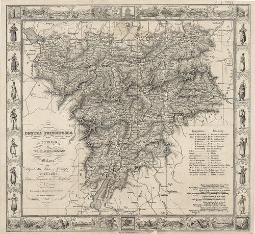
| Title | Contea Principesca del Tirolo e Vorarlberg. |
| Main title | A Tiroli Grófság és Vorarlberg térképe 1848-ban. |
279. Post- und Reise-Karte von Tirol und Vorarlberg. [B IX a 365]
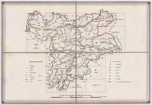
Institute and Museum of Military History •
B IX a
•
B IX Ausztria–Magyarország
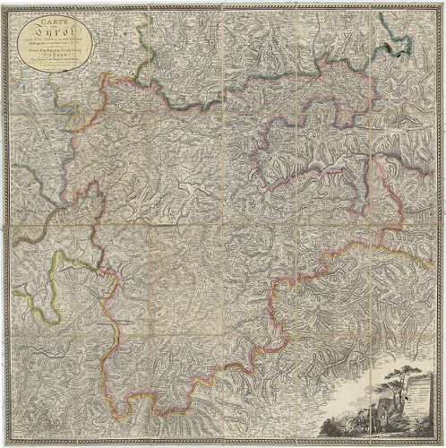
•
B I–XV. Európa
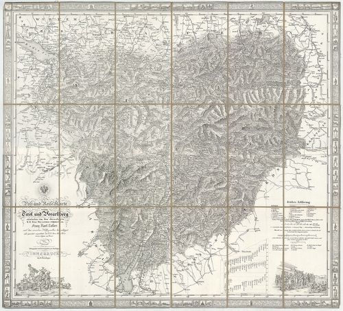
| Title | Post- und Reise-Karte von Tirol und Vorarlberg. |
| Main title | Tirol és Vorarlberg út- és postahálózati térképe 1831-ben. |
280. Provincia Arlbergica Sequentes Comitatus, aliosque Dominatus... [B IX a 366]
Institute and Museum of Military History •
B IX a
•
B IX Ausztria–Magyarország
•
B I–XV. Európa
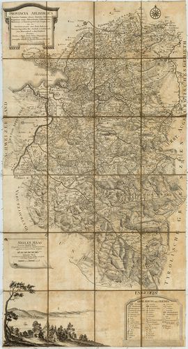
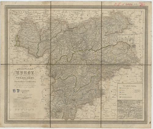
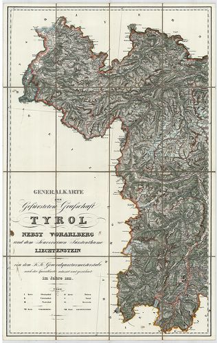
| Title | Provincia Arlbergica Sequentes Comitatus, aliosque Dominatus Austriacos, Brigantinum nempe, Hoheneckensem, Veldkirchensem, Bludentinum, et Sonnenbergensem in se Complectens… |
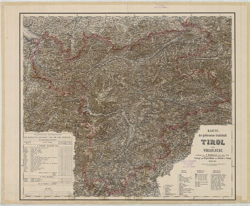
| Main title | Vorarlberg térképe 1783-ban. |
281. Der Nördlichste Theil Tyrols oder der Schwatzer Kreis. [B IX a 367]
Institute and Museum of Military History •
B IX a
•
B IX Ausztria–Magyarország
•
B I–XV. Európa
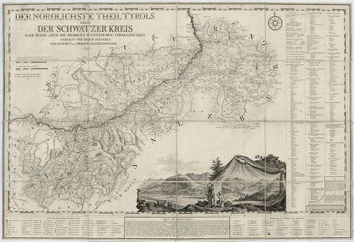
| Title | Der Nördlichste Theil Tyrols oder der Schwatzer Kreis. |
| Main title | Tirol É-i részének (Schwatzer Kreis) térképe 1790-ben. |
282. G. Freytags Übersichtskarte von Tirol, Vorarlberg und den an... [B IX a 367/1]
Institute and Museum of Military History •
B IX a
•
B IX Ausztria–Magyarország
•
B I–XV. Európa
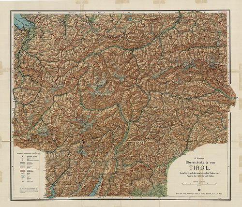
| Title | G. Freytags Übersichtskarte von Tirol, Vorarlberg und den angrenzenden Teilen von Bayern der Schweiz und Italien. |
| Main title | Tirol és Vorarlberg és környékének (Bajorország, Svájc, Olaszország egy kis része) térképe 1910 körül. kerületi határokkal. |
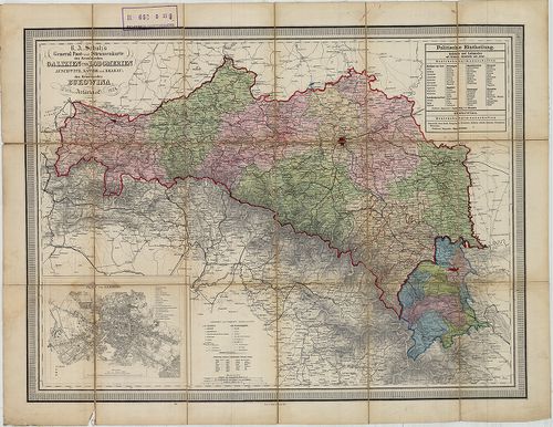
283. Ost und West Galizien. [B IX a 368]
Institute and Museum of Military History •
B IX a
•
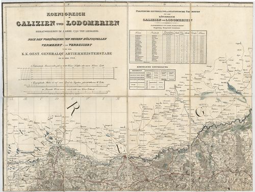
B IX Ausztria–Magyarország
•
B I–XV. Európa
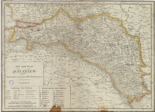
| Title | Ost und West Galizien. |
| Main title | Kelet- és Nyugat Galícia térképe a 19. század elején. |
284. General Carte von Westgallizien. [B IX a 369]
Institute and Museum of Military History •
B IX a
•
B IX Ausztria–Magyarország
•
B I–XV. Európa
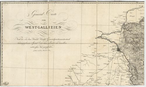
| Title | General Carte von Westgallizien. |
| Main title | Nyugat-Galícia általános térképe. |
285. [Dél-Tirol: Roveredo (Ol.) környéke.] [B IX a 371/1]
Institute and Museum of Military History •
B IX a
•
B IX Ausztria–Magyarország
•
B I–XV. Európa
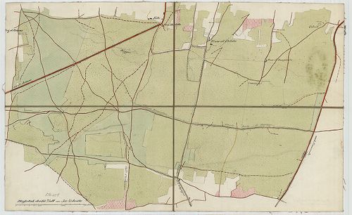
| Title | [Dél-Tirol: Roveredo (Ol.) környéke.] |
286. Des Koenegreichs Galizien und Lodomerien mittlere Kreise. [B IX a 375]
Institute and Museum of Military History •
B IX a
•
B IX Ausztria–Magyarország
•
B I–XV. Európa
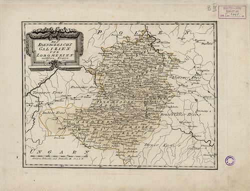
| Title | Des Koenegreichs Galizien und Lodomerien mittlere Kreise. |
| Main title | Galícia és Volhínia középső részének térképe a 19. században. |
287. Des Koenigrechs Galizien und Lodomerien östliche Kreise. [B IX a 375/1]
Institute and Museum of Military History •
B IX a
•
B IX Ausztria–Magyarország
•
B I–XV. Európa
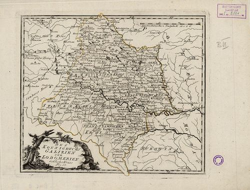
| Title | Des Koenigrechs Galizien und Lodomerien östliche Kreise. |
| Main title | Galícia és Volhínia K-i részének térképe a 19. században. |
288. Das Koenigreich Galizien. [B IX a 376]
Institute and Museum of Military History •
B IX a
•
B IX Ausztria–Magyarország
•
B I–XV. Európa
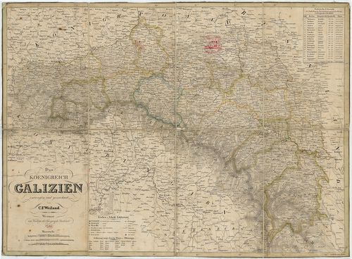
| Title | Das Koenigreich Galizien. |
| Main title | A Galíciai Királyság térképe 1842-ben. |
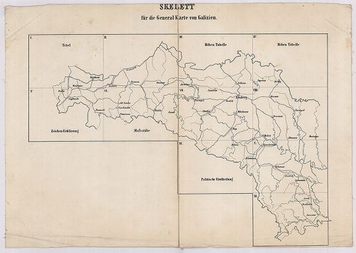
289. Uibersichts Skelett des Königreiches Galizien und Lodomerien... [B IX a 377]
Institute and Museum of Military History •
B IX a
•
B IX Ausztria–Magyarország
•
B I–XV. Európa
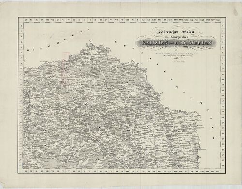
| Title | Uibersichts Skelett des Königreiches Galizien und Lodomerien. |
| Main title | Mt. Uibersicht der bestehenden Poststationen und Brief sammlungsorte. (Galícia és Volhínia áttekintő térképe a posta hivatalok, levélgyűjtőhelyek megnevezésével.) |
| Subject | Galícia és Volhínia áttekintő térképvázlata 1843-ban. Ker. jelölése. |
290. Lubomeriae et Galliciae Regni Tabula Geographica. [B IX a 378]
Institute and Museum of Military History •
B IX a
•
B IX Ausztria–Magyarország
•
B I–XV. Európa
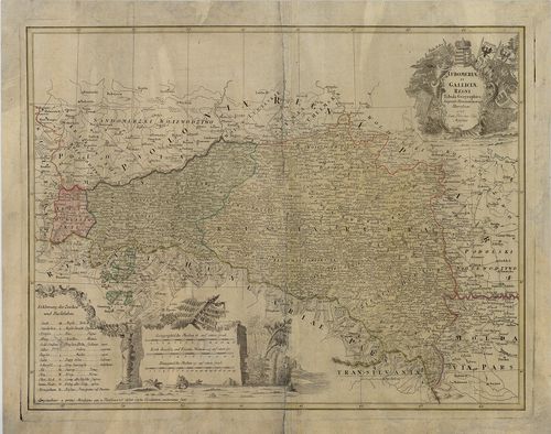
| Title | Lubomeriae et Galliciae Regni Tabula Geographica. |
| Main title | Galícia és Volhínia térképe 1775-ben. |
291. General Charte des Atlasses von Galizien und Lodomerien nach... [B IX a 379]
Institute and Museum of Military History •
B IX a
•
B IX Ausztria–Magyarország
•
B I–XV. Európa
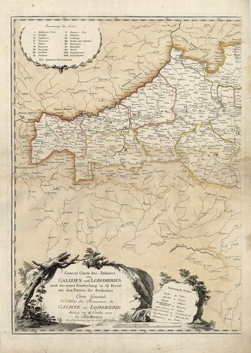
| Title | General Charte des Atlasses von Galizien und Lodomerien nach der neuen Eintheilung in 19. Kreise mit dem District der Buckovina. – Varte Generale de l’Atlas des Roiaumes de Galicie et Lodomerie… |
| Main title | Galícia és Volhínia általános térképe 1786-ban, a 19 ker. jelölésével. |
292. Regna Galíciae, et Lodomeriae, Iosephi II. et M. Theresiae A... [B IX a 381]
Institute and Museum of Military History •
B IX a
•
B IX Ausztria–Magyarország
•
B I–XV. Európa
| Title | Regna Galíciae, et Lodomeriae, Iosephi II. et M. Theresiae Augg. iussu methodo astronomico-trigonometrica nec non Bukovina Geometrice dimensa. |
| Main title | A Galíciai Királyság, Lodoméria (Volhínia) térképe 1800 körül, amely csillagászati-háromszögelési adatokon alapult. |
293. Koenigreich Galizien und Lodomerien herausgegeben im Jahre 1... [B IX a 382]
Institute and Museum of Military History •
B IX a
•
B IX Ausztria–Magyarország
•
B I–XV. Európa
| Title | Koenigreich Galizien und Lodomerien herausgegeben im Jahre 1790 von Liesganig. |
| Main title | Galícia és Lodoméria (Volhínia) térképe, amely Liesganig 1790-es térképének 1824-ben történő felújítása. |
294. General-Karte des Königreiches Galizien und des Herzogthumes... [B IX a 383]
Institute and Museum of Military History •
B IX a
•
B IX Ausztria–Magyarország
•
B I–XV. Európa
| Title | General-Karte des Königreiches Galizien und des Herzogthumes Bukowina. |
| Main title | A Galíciai Királyság és a Bukovinai Hercegség általános térképe 1868-ban, a II. katonai felmérés alapján. |
295. Strassen-Karte des Königreiches Galizien und des Herzogthume... [B IX a 383/1]
Institute and Museum of Military History •
B IX a
•
B IX Ausztria–Magyarország
•
B I–XV. Európa
| Title | Strassen-Karte des Königreiches Galizien und des Herzogthumes Bukowina. |
| Main title | A Galíciai Királyság és a Bukovinai Hercegség úthálózati térképe 1868-ban. |
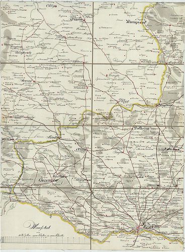
296. Administrativ-Karte von den Königreichen Galizien und Lodome... [B IX a 386]
Institute and Museum of Military History •
B IX a
•
B IX Ausztria–Magyarország
•
B I–XV. Európa
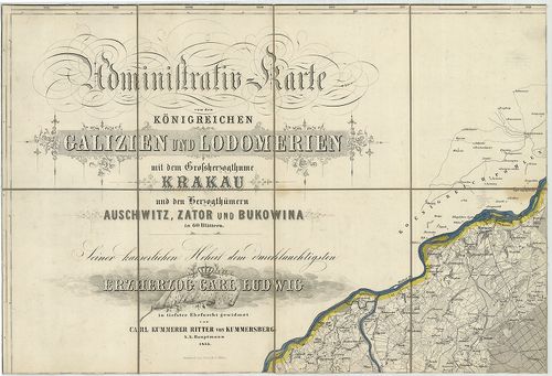
| Title | Administrativ-Karte von den Königreichen Galizien und Lodomerien mit dem Grossherzogthume Krakau und den Herzogthümern Auschwitz, Zator und Bukovina. |
| Main title | 3 mt. 1. Plan von Krakau. (Krakow várostérk.) 2. Plan von Lemberg. (Lvov várostérk.) 3. Plan von Czernowitz. (Csernovci várostérk.) |
| Subject | Galícia, Lodoméria (Volhínia), a Krakkói Nagyhercegség és a Bukovinai Hercegség topográfiai térképe 1855-ben. |
297. [Charte von Westgalizien.] [B IX a 389]
Institute and Museum of Military History •
B IX a
•
B IX Ausztria–Magyarország
•
B I–XV. Európa
| Title | [Charte von Westgalizien.] |
| Main title | Ny-Galícia (Varsó-Krakkó) közötti terület térképe a 18. század végén. |
298. General Post- und Strassenkarte des Kronlandes Galizien und ... [B IX a 390]
Institute and Museum of Military History •
B IX a
•
B IX Ausztria–Magyarország
•
B I–XV. Európa
| Title | General Post- und Strassenkarte des Kronlandes Galizien und Lodomerien Ausschwitz, (Ošviecim) Zator, und Krakau, (Kraków) so wie des Kronlandes Bukowina. |
| Main title | Mt. Plan von Lemberg. (Lvov várostérk.) |
| Subject | Galícia, Volhínia és Bukovina általános térképe 1874-ben, posta és úthálózattal. |
299. Übersichtskarte der erzherzoglichen Herrschaft Saybusch in G... [B IX a 391]
Institute and Museum of Military History •
B IX a
•
B IX Ausztria–Magyarország
•
B I–XV. Európa
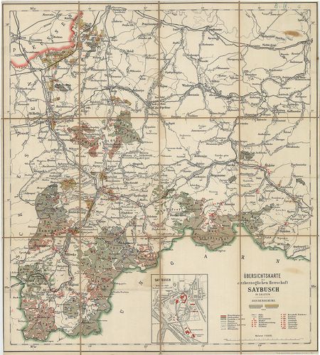
| Title | Übersichtskarte der erzherzoglichen Herrschaft Saybusch in Galizien. |
| Main title | Mt. Saybusch. (Zywiec várostérkép.) |
| Subject | Galícia: Saybusch hercegség áttekintő térképe a 19. században. |
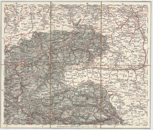
300. Uibersichts-Karte für die Vertheidigung Tirol’s im Jahre 186... [B IX a 392]
Institute and Museum of Military History •
B IX a
•
B IX Ausztria–Magyarország
•
B I–XV. Európa
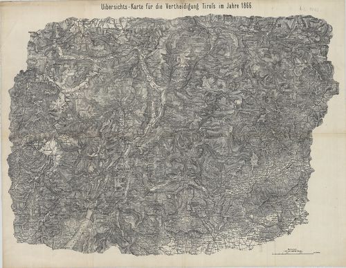
| Title | Uibersichts-Karte für die Vertheidigung Tirol’s im Jahre 1866. |
| Main title | Dél-Tirol áttekintő térképe 1866-ban. (Mühlbachtól D-re.) |