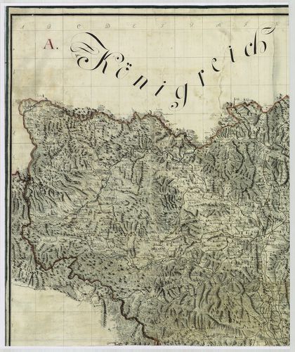
521. Magyarország térképe. Sociétés d’endiguement et de desecheme... [B IX a 610/15]
Institute and Museum of Military History •
B IX a
•
B IX Ausztria–Magyarország
•
B I–XV. Európa
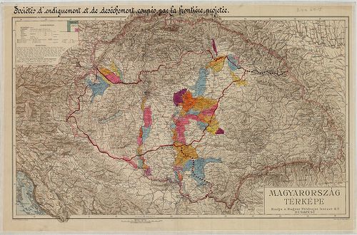
| Title | Magyarország térképe. Sociétés d’endiguement et de desechement coupés par la frontiére projectée (Az árvízvédelmi és lecsapoló társaságok területei, melyeket a tervezett új határok szétdarabolnak). |
522. Arad megye térképe. [B IX a 611]
Institute and Museum of Military History •
B IX a
•
B IX Ausztria–Magyarország
•
B I–XV. Európa
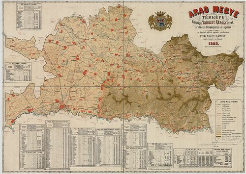
| Title | Arad megye térképe. |
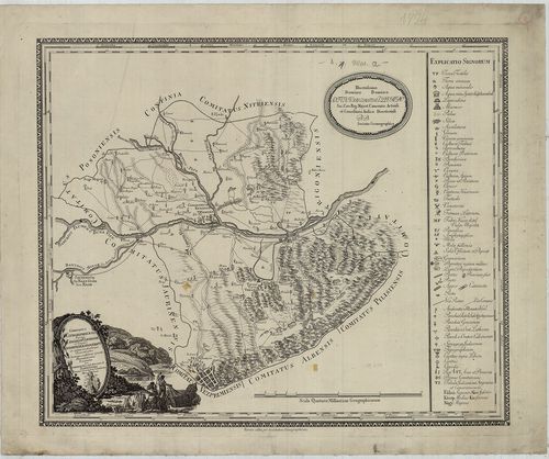
523. Plan 1mo. Der auf Allerhöchsten Befehl im Jahr 1772 et 1773 ... [B IX a 612]
Institute and Museum of Military History •
B IX a
•
B IX Ausztria–Magyarország
•
B I–XV. Európa
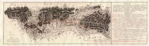
| Title | Plan 1mo. Der auf Allerhöchsten Befehl im Jahr 1772 et 1773 zwischen der Herrschaft Streczen Hungl: und dem Herzog. Teschnischen Camerali Schlesischer… so, Ao. 1769 comwentonaliter beschehen. |
| Main title | A Magyar Királyság és Szilézia határának - Skalite (Skalite) környékének térképe az 1772-1773-as évi pestis kordon feltüntetésével. |
524. Des im Jahr 1772 et 1773 Geometrisch-untersuchten und im Jah... [B IX a 612/1]
Institute and Museum of Military History •
B IX a
•
B IX Ausztria–Magyarország
•
B I–XV. Európa
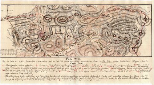
| Title | Des im Jahr 1772 et 1773 Geometrisch-untersuchten und im Jahr 1769 durch Convention ausgegränzten. Stükes der Pest-Linie. aus der Gemellischen Mappa reducirt. Copia No. Z. |
| Main title | Az 1769-es évi térkép alapján a Magyar Királyság és Szilézia határának - Skalite (Skalite) környékének térképe, rárajzolva az 1772-1773-as évi pestis kordon határa. |
525. Mappa von dem Csakowaer District. [B IX a 618]
Institute and Museum of Military History •
B IX a
•
B IX Ausztria–Magyarország
•
B I–XV. Európa
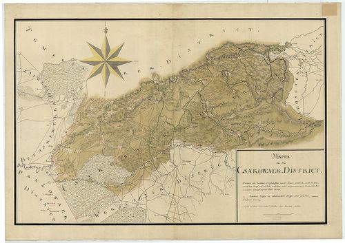
| Title | Mappa von dem Csakowaer District. |
| Main title | A Csákovári kerület térképe 1723-ban. |
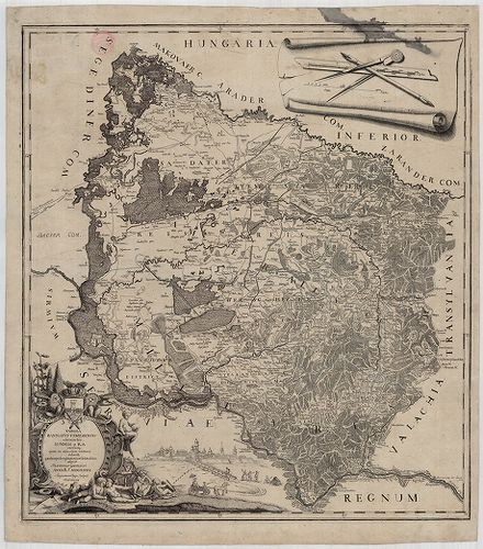
526. Mappa von den Csanader District. [B IX a 619]
Institute and Museum of Military History •
B IX a
•
B IX Ausztria–Magyarország
•
B I–XV. Európa

| Title | Mappa von den Csanader District. |
| Main title | A Csanádi kerület térképe 1721-ben. |
527. Tekéntetes Fejér vármegye térképe… [B IX a 620]
Institute and Museum of Military History •
B IX a
•
B IX Ausztria–Magyarország
•
B I–XV. Európa
| Title | Tekéntetes Fejér vármegye térképe… |
528. Geographische Charte des Raaber Bezirks. [B IX a 621]
Institute and Museum of Military History •
B IX a
•
B IX Ausztria–Magyarország
•
B I–XV. Európa
| Title | Geographische Charte des Raaber Bezirks. |
| Main title | A Győri kerület. (Moson, Sopron, Vas, Győr, Veszprém, Komárom, Esztergom) térképe 1786 körül az I. katonai felmérés alapján. |
529. Mappa Comitatus Hontensis. [B IX a 622]
Institute and Museum of Military History •
B IX a
•
B IX Ausztria–Magyarország
•
B I–XV. Európa
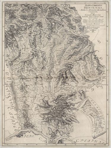
| Title | Mappa Comitatus Hontensis. |
| Main title | Hont megye térképe. |
530. Mappa Districtus Iazigum et Philisteorum. [B IX a 623]
Institute and Museum of Military History •
B IX a
•
B IX Ausztria–Magyarország
•
B I–XV. Európa
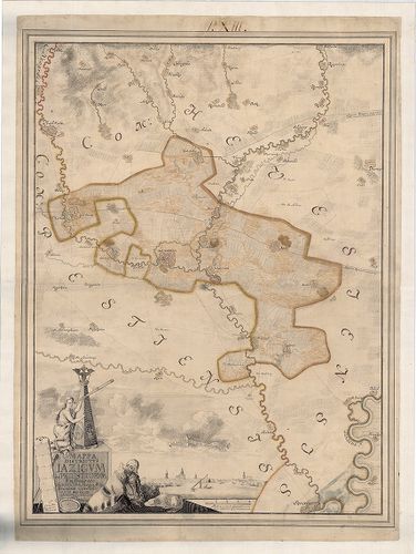
| Title | Mappa Districtus Iazigum et Philisteorum. |
| Main title | Jászság térképe, alul Jászberény látképével. |
531. Mappa Partis Regni Hungariae, qua Jazyges, Cumani Maiores et... [B IX a 624]
Institute and Museum of Military History •
B IX a
•
B IX Ausztria–Magyarország
•
B I–XV. Európa
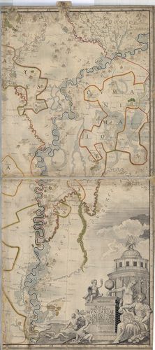
| Title | Mappa Partis Regni Hungariae, qua Jazyges, Cumani Maiores et Minores contenentur. |
| Main title | A Jászkun kerület térképe. |
532. Mappa Districtus Cumanorum Maiorum. [B IX a 625]
Institute and Museum of Military History •
B IX a
•
B IX Ausztria–Magyarország
•
B I–XV. Európa
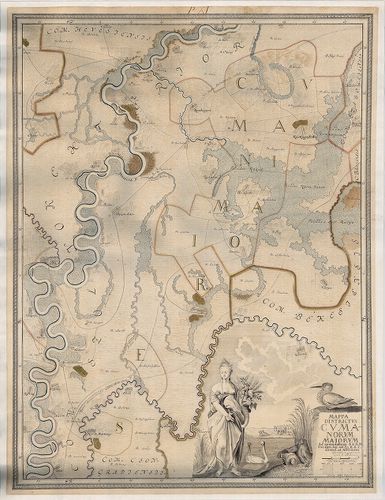
| Title | Mappa Districtus Cumanorum Maiorum. |
| Main title | Nagykunság térképe 1740 körül. |
533. Mappa von dem Caransebes und Lugoscher District. [B IX a 626]
Institute and Museum of Military History •
B IX a
•
B IX Ausztria–Magyarország
•
B I–XV. Európa
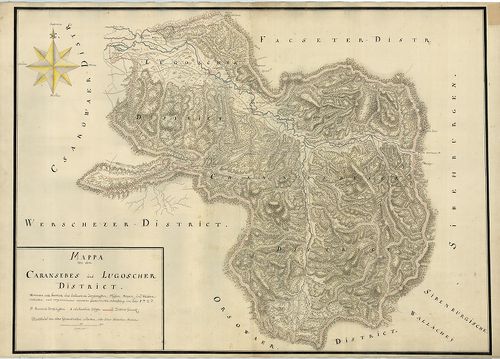
| Title | Mappa von dem Caransebes und Lugoscher District. |
| Main title | Karánsebes és Lugos körzetének térképe 1723-ban. |
534. Geographische Charte des Caschauer Bezirks. [B IX a 627]
Institute and Museum of Military History •
B IX a
•
B IX Ausztria–Magyarország
•
B I–XV. Európa
| Title | Geographische Charte des Caschauer Bezirks. |
| Main title | A Kassai kerület térképe 1786-ban az I. katonai felmérés alapján. |
535. Comitatus Comaromiensis, Ungarice Comárom Vármegye et German... [B IX a 628]
Institute and Museum of Military History •
B IX a
•
B IX Ausztria–Magyarország
•
B I–XV. Európa
| Title | Comitatus Comaromiensis, Ungarice Comárom Vármegye et Germanice Comorner Gespanschaft… |
| Main title | Komárom vármegye térképe 1794-ben. |
536. Krassó-Szörény megye közigazgatási és kultúr-térképe és stat... [B IX a 629]
Institute and Museum of Military History •
B IX a
•
B IX Ausztria–Magyarország
•
B I–XV. Európa
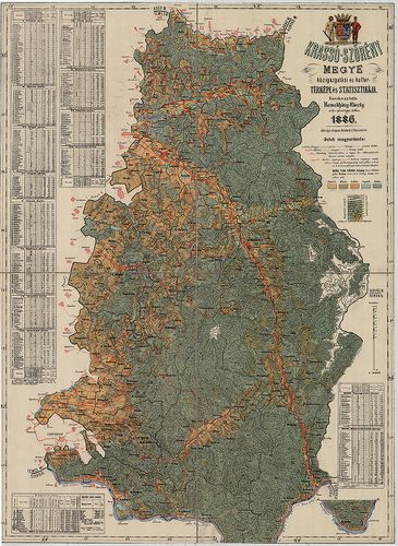
| Title | Krassó-Szörény megye közigazgatási és kultúr-térképe és statisztikája. |
537. Plan des Königl Bogschaner Caal Verwalter Smts Bezirks Löbl:... [B IX a 629/1]
Institute and Museum of Military History •
B IX a
•
B IX Ausztria–Magyarország
•
B I–XV. Európa
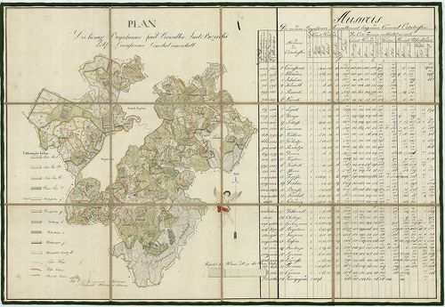
| Title | Plan des Königl Bogschaner Caal Verwalter Smts Bezirks Löbl: Carassovaer Comitat einverleibt. |
| Main title | Temesköz, Boksánbánya, (Bocsa-Montana) kerület műveltségi térképe a 19. század elején. |
538. Mappa von dem Lippovaer und Facseter District… [B IX a 630]
Institute and Museum of Military History •
B IX a
•
B IX Ausztria–Magyarország
•
B I–XV. Európa
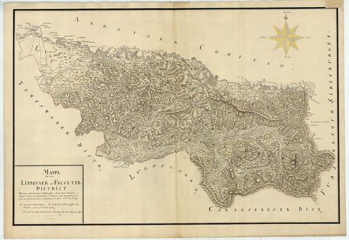
| Title | Mappa von dem Lippovaer und Facseter District… |
| Main title | A Lippai (Lipova) és Facsadi (Făget) körzet térképe 1718–1719-ben. |
539. Mappa comitatus Liptoviensis. Accuratione Astronomico. Geome... [B IX a 631]
Institute and Museum of Military History •
B IX a
•
B IX Ausztria–Magyarország
•
B I–XV. Európa
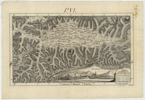
| Title | Mappa comitatus Liptoviensis. Accuratione Astronomico. Geometrice Concinnata. |
| Main title | Liptó vármegye térképe (pontos csillagászati és mértani felmérés alapján.), a Noticia 2. kötetében jelent meg. |
540. Mappa Über die Sieben Nieder Hung.[arischen] Berg Städte. [B IX a 631/1]
Institute and Museum of Military History •
B IX a
•
B IX Ausztria–Magyarország
•
B I–XV. Európa
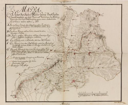
| Title | Mappa Über die Sieben Nieder Hung.[arischen] Berg Städte. |
| Main title | A hét alsómagyarországi bányaváros környékének térképe a 18. században. (Selmecbánya, Banska Štiavnica, környéke.) |