101. Carte Géometrique du Comte de Nice et de la Vallée de Barcel... [B V a 161]
Institute and Museum of Military History •
B V a
•
B V Franciaország
•
B I–XV. Európa
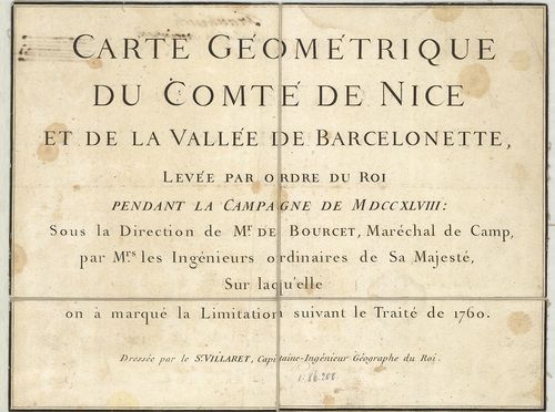
| Title | Carte Géometrique du Comte de Nice et de la Vallée de Barcelonette… |
| Main title | Franciaország: Nizza grófság és a Barcelonette-völgy térképe 1760-ban. |
102. Le Gouvernement General de Picardie, ou sont le Pays Reconqu... [B V a 161/1]
Institute and Museum of Military History •
B V a
•
B V Franciaország
•
B I–XV. Európa
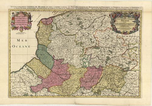
| Title | Le Gouvernement General de Picardie, ou sont le Pays Reconquis, Le Boulenois Le Ponthieu l’Amienois, Le Santerre, Le Vermandois, et Le Trierrasche. |
| Main title | Franciaország: Picardia francia tartomány általános térképe tartományi színezéssel 1692-ben. |
103. Le Comte de Haynaut, divisé en Chatellenies, Balliages, Prev... [B V a 162]
Institute and Museum of Military History •
B V a
•
B V Franciaország
•
B I–XV. Európa
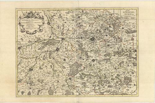
| Title | Le Comte de Haynaut, divisé en Chatellenies, Balliages, Prevostés etc. |
| Main title | Hainaut grófság térképe (Chatelleine, Baillages, Prevost kerületekkel) 1692-ben. |
104. Carta Generale de Stati di sua Altezza Reale. [B V a 164/1]
Institute and Museum of Military History •
B V a
•
B V Franciaország
•
B I–XV. Európa
| Title | Carta Generale de Stati di sua Altezza Reale. |
| Main title | Savoie hercegség és a környező tartományok általános térképe 1680-ban. |
105. Carte qui continent la Principauté, de Piemont, le Monferrat... [B V a 164/2]
Institute and Museum of Military History •
B V a
•
B V Franciaország
•
B I–XV. Európa
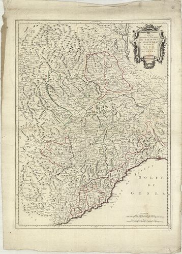
| Title | Carte qui continent la Principauté, de Piemont, le Monferrat, et la Comté de Nice avec la Riviére de Poment de Génes. Terv.: P. Santini. |
| Main title | Piemont hercegség, Monferrat, Nizza grófság, Genua térképe 1779-ben. |
106. Theatre de la Guerre en Savoye et en Piemont… [B V a 164/3]
Institute and Museum of Military History •
B V a
•
B V Franciaország
•
B I–XV. Európa
| Title | Theatre de la Guerre en Savoye et en Piemont… |
| Main title | Savoie és Piemont hercegség térképe 18. században. |
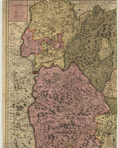
107. Carte du Duché de Bourgogne Comtés et Pays Adjacents… [B V a 165]
Institute and Museum of Military History •
B V a
•
B V Franciaország
•
B I–XV. Európa
| Title | Carte du Duché de Bourgogne Comtés et Pays Adjacents… |
| Main title | Franciaország: Bourgogne hercegség térképe 1782-ben. |
108. Carte de la Savoie. [B V a 169]
Institute and Museum of Military History •
B V a
•
B V Franciaország
•
B I–XV. Európa
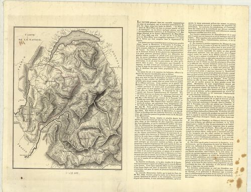
| Title | Carte de la Savoie. |
| Main title | A Savoie hercegség térképe 1814 körül. |
109. Plan der Gegend um Bar sur Aube. [B V a 174]
Institute and Museum of Military History •
B V a
•
B V Franciaország
•
B I–XV. Európa
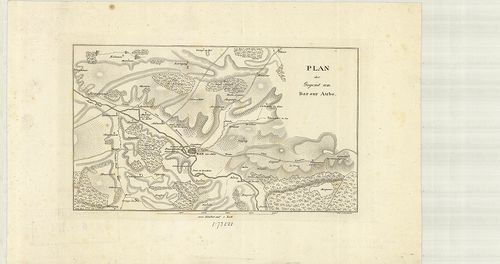
| Title | Plan der Gegend um Bar sur Aube. |
| Main title | Franciaország: A Bar sur Aube vidékének térképe az 1800-as években. |
110. Karte der Gegenden von Soissons, Craone, Laon und Rheims. [B V a 178]
Institute and Museum of Military History •
B V a
•
B V Franciaország
•
B I–XV. Európa
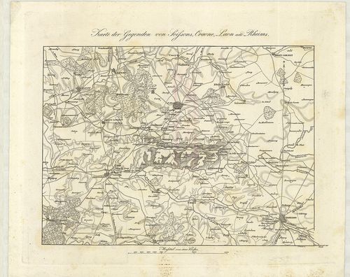
| Title | Karte der Gegenden von Soissons, Craone, Laon und Rheims. |
| Main title | Franciaország: Soissons, Craone, Laon és Reims vidék térképe az 1800-as években. |
111. Pont á Mousson, Nancy, Luneville. St. Dié. Ravensteins Krieg... [B V a 178/3]
Institute and Museum of Military History •
B V a
•
B V Franciaország
•
B I–XV. Európa
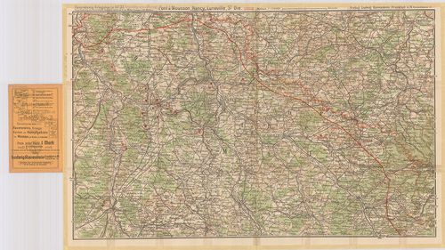
| Title | Pont á Mousson, Nancy, Luneville. St. Dié. Ravensteins Kriegskarte No. 37. |
| Main title | Franciaország: Pont á Mousson, Nancy, Luneville terület térképe az első világháború frontvonal megjelölésével. |
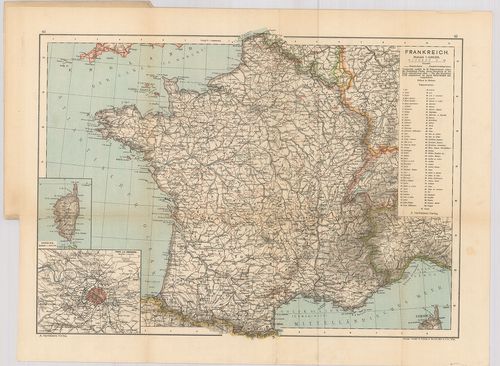
112. Frankreich. – France. – La France. – Francia. Flemmings Gene... [B V a 178/4]
Institute and Museum of Military History •
B V a
•
B V Franciaország
•
B I–XV. Európa
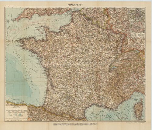
| Title | Frankreich. – France. – La France. – Francia. Flemmings Generalkarten Nr. 12. |
| Main title | 2 mt.: 1. Paris und Umgebung. (Párizs és környéke.) 2. Paris, |
| Subject | Franciaország térképe. |
113. Franciaország, Belgium és Hollandia. [B V a 179]
Institute and Museum of Military History •
B V a
•
B V Franciaország
•
B I–XV. Európa
| Title | Franciaország, Belgium és Hollandia. |
114. Frankreich. [B V a 180]
Institute and Museum of Military History •
B V a
•
B V Franciaország
•
B I–XV. Európa
| Title | Frankreich. |
115. Frankreich. [B V a 181]
Institute and Museum of Military History •
B V a
•
B V Franciaország
•
B I–XV. Európa
| Title | Frankreich. |
| Main title | 2 mt.: 1. Frankreich nach seiner ehemaligen Eintheilung in Gouvernements mit den landschaftlichen Names u. den historisch wichtigen Orten. (Franciaország térképe közigazgatási kerületi beosztással és a történelmi helyek megnevezésével.) 2. Umgegend von Paris. (Párizs és környéke.) |
| Subject | Franciaország térképe úthálózattal 1858-ban. |
116. Nouvelle Carte Administrative de la France. [B V a 182]
Institute and Museum of Military History •
B V a
•
B V Franciaország
•
B I–XV. Európa
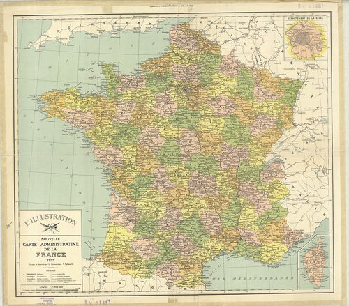
| Title | Nouvelle Carte Administrative de la France. |
| Main title | Mt.: Département de la Seine. (Szajna kerület térképe. Párizs és környéke.) |
| Subject | Franciaország (Belg.–Lux.–NSZK–Sv.–Ol.) közigazgatási térképe 1927-ben. |
117. France. [B V a 183]
Institute and Museum of Military History •
B V a
•
B V Franciaország
•
B I–XV. Európa
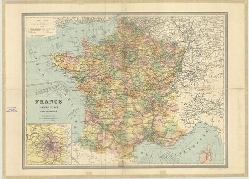
| Title | France. |
| Main title | Mt.: Environs de Paris. (Párizs és környéke.) |
| Subject | Franciaország (Belg.–Lux.–NSZK–Sv.–Ol.) általános térképe 1926-ban megyei felosztással, úthálózattal. |
118. A Francia háború térképe. [B V a 185]
Institute and Museum of Military History •
B V a
•
B V Franciaország
•
B I–XV. Európa

| Title | A Francia háború térképe. |
| Main title | Mt.: Páris környéke. |
119. Bródy-féle Francziaország és Belgium háborús térképe. [B V a 186]
Institute and Museum of Military History •
B V a
•
B V Franciaország
•
B I–XV. Európa
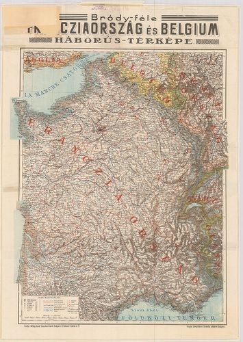
| Title | Bródy-féle Francziaország és Belgium háborús térképe. |
120. I. Karte von Frankreich und seine Grenzen gegen Deutschland.... [B V a 187]
Institute and Museum of Military History •
B V a
•
B V Franciaország
•
B I–XV. Európa
| Title | I. Karte von Frankreich und seine Grenzen gegen Deutschland. – Frankreich. 2 térk. lap. |
| Main title | 2 mt.: 1. Corsica. |
| Subject | 2. Paris und Umgebung. (Párizs és környéke.) |