781. Eisenbahn Karte des Oestlichen Europa mit besonderer Berücks... [B II c 13]
Institute and Museum of Military History •
B II c
•
B II Európa, nagyobb részek és országcsoportok
•
B I–XV. Európa
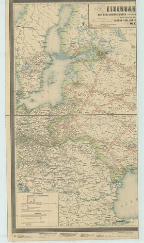
| Title | Eisenbahn Karte des Oestlichen Europa mit besonderer Berücksichtigung des Russischen Reiches. |
| Main title | 2 mt.: 1. Transkaspische Militärbahn. (Kaspi-tengeri vasútvonal Taskent-Andizsan-ig.) 2. Sibirische Eisenbahn. |
| Subject | (Szibériai vasútvonal.) |
782. Neue Eisenbahnkarte von Zentraleuropa, mit neuestem Stations... [B II c 20]
Institute and Museum of Military History •
B II c
•
B II Európa, nagyobb részek és országcsoportok
•
B I–XV. Európa

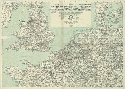
| Title | Neue Eisenbahnkarte von Zentraleuropa, mit neuestem Stationsverzeichnis. – New Railway Map of Central Europe… Nouvelle Carte des Chemins de fer de l’Europe Centrale… |
| Main title | Közép-Európa vasúti térképe 1924-ben. |
783. Nouvelle Carte des Postes de l’Allemagne ou des pays situés ... [B II c 22]
Institute and Museum of Military History •
B II c
•
B II Európa, nagyobb részek és országcsoportok
•
B I–XV. Európa
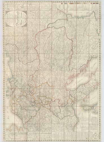
| Title | Nouvelle Carte des Postes de l’Allemagne ou des pays situés au centre de l’Europe-Divisée dans ses Etats d’aprés le Congrés de Vienne… – Neuste Post-Karte von ganz Deutschland und dem grösten Theil der umliegenden Staaten oder Mittel-Europa. Nach der Eintheilung des Wiener Congresses. |
| Main title | Közép-Európa: Németország és a környező országok. postatérképe 1821-ben. |
784. Nouvelle Carte des Postes de l’Allemagne ou des pays situés ... [B II c 22/1]
Institute and Museum of Military History •
B II c
•
B II Európa, nagyobb részek és országcsoportok
•
B I–XV. Európa
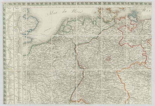
| Title | Nouvelle Carte des Postes de l’Allemagne ou des pays situés au centre de l’Europe. Limitée par les Villes de Paris, Londres, Hamburg, Danzig, Odessa, Constantinople, Naples… – Neueste Post-Karte von ganz Deutschland und dem grösten Theil der umliegenden Staaten oder Mittel-Europa. |
| Main title | Közép-Európa: Németország és a környező országok postatérképe 1813-ban. |
785. Neueste post-Karte von ganz Deutschland, Ungarn, Preussen, H... [B II c 26]
Institute and Museum of Military History •
B II c
•
B II Európa, nagyobb részek és országcsoportok
•
B I–XV. Európa
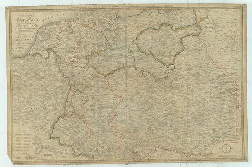
| Title | Neueste post-Karte von ganz Deutschland, Ungarn, Preussen, Holland, Schweitz nebst dem grössen Theile von Frankreich, Pohlen und Italien. – Nouvelle Carte des Postes D’Allemagne… |
| Main title | Közép-Európa: Németország, Magyarország, Poroszország, Hollandia, Svájc, Franciaország, Lengyelország, Olaszország postatérképe 1808-ban. |
786. Meilenberechnungs- und Post-Karte von Mittel-Europa. – A Pos... [B II c 40]
Institute and Museum of Military History •
B II c
•
B II Európa, nagyobb részek és országcsoportok
•
B I–XV. Európa
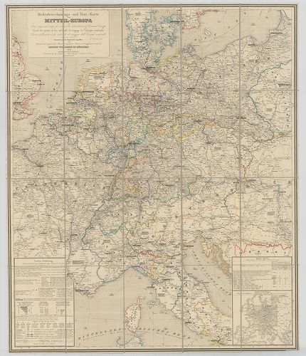
| Title | Meilenberechnungs- und Post-Karte von Mittel-Europa. – A Post-map and map for travels calculation of Central Europe. – Carte des postes et des calculs de voyage de l’Europe centrale. – Carte delle poste e dei calcoli di viaggio dell’ Europa centrale. |
| Main title | Mt.: Haupt-Verbindungen (Főútvonalak.) |
| Subject | Közép-Európa mérföld számítási és posta térképe 1845-ben. |
787. [Európa egyes részeinek vasúti térképe 1914–1918 között.] [B II c 50]
Institute and Museum of Military History •
B II c
•
B II Európa, nagyobb részek és országcsoportok
•
B I–XV. Európa
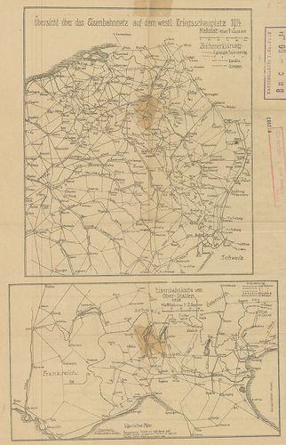
| Title | [Európa egyes részeinek vasúti térképe 1914–1918 között.] |
| Main title | 4 térk. egy lapon: 1. Übersicht über das Eisenbahnnetz auf dem Westl. Kriegsschauplatz 1914. |
| Subject | (Nyugati hadszíntér vasúti térképe 1914-ben. 2. Eisenbahnkarte von Ober-Italien 1918. |
Content: [...] 3 Übersichtskarte über das Eisenbahnnetz des westlichen Russlands Ostpreussens u Galiziens [...]
788. Tripolis und das östliche Mittelmeer, der Schauplatz des ita... [B II c 57]
Institute and Museum of Military History •
B II c
•
B II Európa, nagyobb részek és országcsoportok
•
B I–XV. Európa
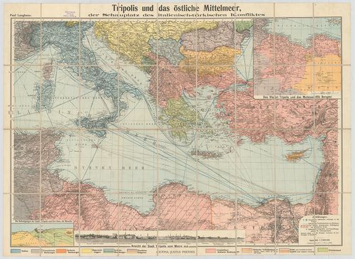
| Title | Tripolis und das östliche Mittelmeer, der Schauplatz des italienisch-türkischen Konfliktas. |
| Main title | 2 mt.: 1. Das Vilajet Tripolis und das Mutessariflik Bengasi |
| Subject | (Líbia tartomány.) 2. Die Befestigungen der Stadt Tripolis und ihre Oase, Die Mnschîa. |
789. Neue Eisenbahnkarte von Zentraleuropa. – New Railway Map of ... [B II c 62]
Institute and Museum of Military History •
B II c
•
B II Európa, nagyobb részek és országcsoportok
•
B I–XV. Európa
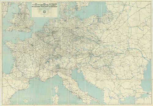
| Title | Neue Eisenbahnkarte von Zentraleuropa. – New Railway Map of Central Europe. – Nouwelle Carte des Chemins de fer de l’Europe Centrale. |
| Main title | Közép-Európa vasúti térképe 1924-ben. |
790. Neue Eisenbahnkarte von Zentraleuropa. – New Railway Map of ... [B II c 62/1]
Institute and Museum of Military History •
B II c
•
B II Európa, nagyobb részek és országcsoportok
•
B I–XV. Európa
| Title | Neue Eisenbahnkarte von Zentraleuropa. – New Railway Map of Central Europe. – Nouvelle Carte des Chemins de fer de l’Europe Centrale. |
| Main title | Közép-Európa vasúttérképe 1923-ban. |
791. Ethnographische Übersichts des Europäischer Orients. 1876. [B II c 84]
Institute and Museum of Military History •
B II c
•
B II Európa, nagyobb részek és országcsoportok
•
B I–XV. Európa
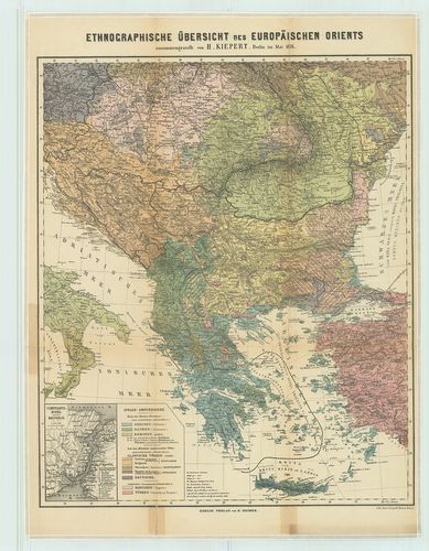
| Title | Ethnographische Übersichts des Europäischer Orients. 1876. |
| Main title | Mt.: Constantinopel u. der Bosporus. |
| Subject | (Istanbul és a Boszporusz) |
792. 9. Die Fernhandelsstrassen in Ostmitteleuropa um 1000. [B II c 85]
Institute and Museum of Military History •
B II c
•
B II Európa, nagyobb részek és országcsoportok
•
B I–XV. Európa
| Title | 9. Die Fernhandelsstrassen in Ostmitteleuropa um 1000. |
| Main title | Középkelet-Európa kereskedelmi útjai 1000 körül. |
Technical features: [...] zu Ch Warnke Die Anfange des Fernhandels in Polen 9 mell [...]
793. Südost-Europa. [B II c 116]
Institute and Museum of Military History •
B II c
•
B II Európa, nagyobb részek és országcsoportok
•
B I–XV. Európa
| Title | Südost-Europa. |
| Main title | Délkelet-Európa autótérképe. |
Technical features: [...] Geogr Inst Ed Hölzel ÖAMTC des Österr Automobil Motorrad und Touring [...]
794. Strassen-Karte der Westlichen Alpen. [B II c 143]
Institute and Museum of Military History •
B II c
•
B II Európa, nagyobb részek és országcsoportok
•
B I–XV. Európa
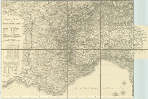
| Title | Strassen-Karte der Westlichen Alpen. |
| Main title | A Nyugati-Alpok úttérképe 1831–32-ben. |
Technical features: [...] 1831 32 Mil Geogr Inst des K k Oesterreichischen Generalquartiermeisterstabs
795. Strassen-Karte der Westlichen Alpen. [B II c 144]
Institute and Museum of Military History •
B II c
•
B II Európa, nagyobb részek és országcsoportok
•
B I–XV. Európa
| Title | Strassen-Karte der Westlichen Alpen. |
| Main title | A Nyugati-Alpok úttérképe 1832–1877-ben. |
Technical features: [...] 1831 32 Mil Geogr Inst des K k Oesterreichischen Generalquartiermeisterstabs
796. Stassenkarte Osteuropa. ARBÖ.-Freytag–Berndt. [B II c 145]
Institute and Museum of Military History •
B II c
•
B II Európa, nagyobb részek és országcsoportok
•
B I–XV. Európa
| Title | Stassenkarte Osteuropa. ARBÖ.-Freytag–Berndt. |
| Main title | Kelet-Európa úttérképe. |
Technical features: [...] Jelm öh 22 cm Sonderdruck des Arbö Auto Motor u Radfahrerbund [...]
797. Karte des östlichen Kriegsschauplätze mit Darstellung von Kr... [B II c 154]
Institute and Museum of Military History •
B II c
•
B II Európa, nagyobb részek és országcsoportok
•
B I–XV. Európa
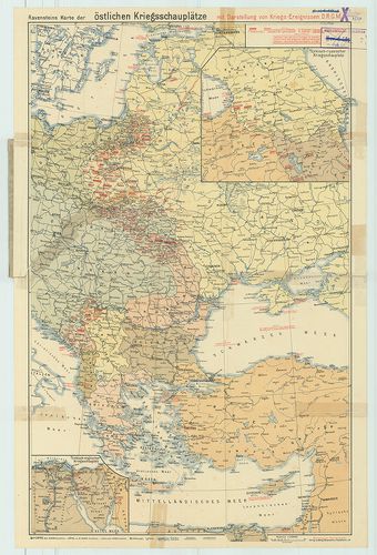
| Title | Karte des östlichen Kriegsschauplätze mit Darstellung von Kriegs-Ereignissen. |
| Main title | 2 mt.: 1.) Türkisch-russischer Kriegssehauplatz. (Török–orosz hadszíntér.) 2.) Türkisch-englischer Kriegsschauplatz. (Angol–török hadszíntér.) |
| Subject | A keleti hadszíntér áttekintő térképe. |
798. G. Freytags Übersichtskarte des Deutsch–Französischen Kriegs... [B II c 193]
Institute and Museum of Military History •
B II c
•
B II Európa, nagyobb részek és országcsoportok
•
B I–XV. Európa
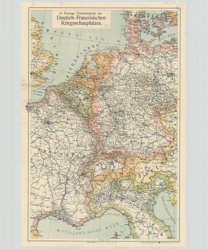
| Title | G. Freytags Übersichtskarte des Deutsch–Französischen Kriegsschauplatzes. |
| Main title | A német–francia hadszíntér az I. világháború idején. |
799. Carte Ethnographique des pays Danubiens. [B II c 213]
Institute and Museum of Military History •
B II c
•
B II Európa, nagyobb részek és országcsoportok
•
B I–XV. Európa
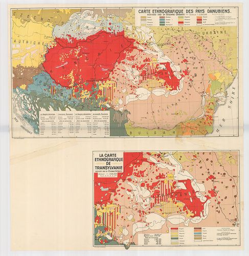
| Title | Carte Ethnographique des pays Danubiens. |
| Main title | Mt. La Carte Ethnographique de Transylvanie. (Erdély néprajzi térképe. |
| Subject | A Duna-medence néprajzi térképe 1928 körül. |
800. Die Verbreitung der Russen im nordwestlichen europäischen Ru... [B II c 216]
Institute and Museum of Military History •
B II c
•
B II Európa, nagyobb részek és országcsoportok
•
B I–XV. Európa
| Title | Die Verbreitung der Russen im nordwestlichen europäischen Russland. |
| Main title | Az oroszok elterjedése az európai oroszország északnyugati részén. |
Technical features: Berlin 1943 Reichsministerium des Innern