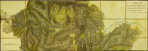
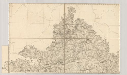
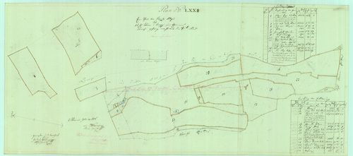
1241. Karte des Zipser Comitats ... [S 12 - Div. XII. - No. 20:2.]
National Archives of Hungary •
S 12 Helytartótanácsi térképek (1738-1875)
•
S Kormányhatósági fondokból kiemelt térképek (17. sz.-20. sz.)
•
S – Térképtár
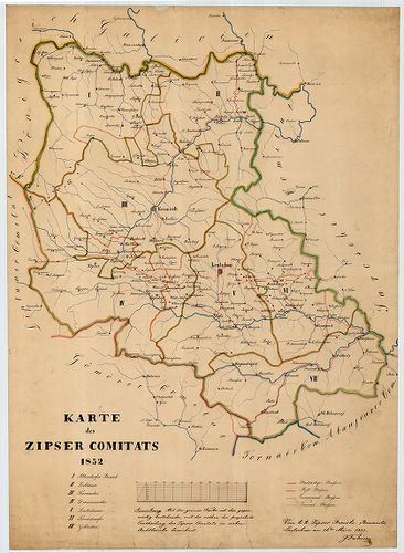
| Main title | Karte des Zipser Comitats ... |
| Subject | Div. XII. - No. 20:2. Szepes megye közigazgatási térképe |
1242. Situation des Donau Stromes im Gebiete Mohács [S 101 - No. 56.]
National Archives of Hungary •
S 101 Abszolutizmuskori térképek (1849-1867)
•
S Kormányhatósági fondokból kiemelt térképek (17. sz.-20. sz.)
•
S – Térképtár
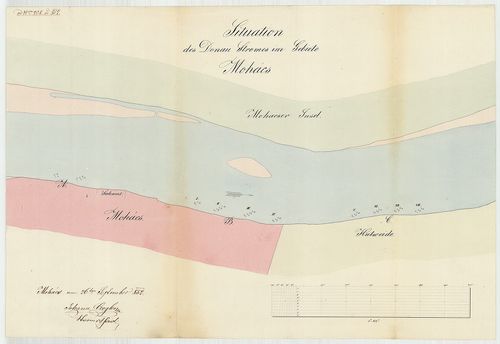
| Main title | Situation des Donau Stromes im Gebiete Mohács |
| Subject | No. 56. A Duna Mohács mellett |
1243. Karte der Strassen-Gebieths-Eintheilung des Somogyer Comitat... [S 101 - No. 204/3.]
National Archives of Hungary •
S 101 Abszolutizmuskori térképek (1849-1867)
•
S Kormányhatósági fondokból kiemelt térképek (17. sz.-20. sz.)
•
S – Térképtár
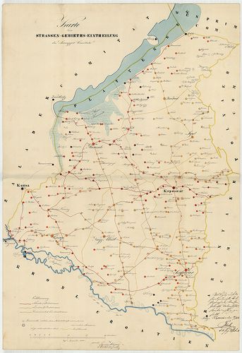
| Main title | Karte der Strassen-Gebieths-Eintheilung des Somogyer Comitats |
| Subject | No. 204/3. Somogy megye |
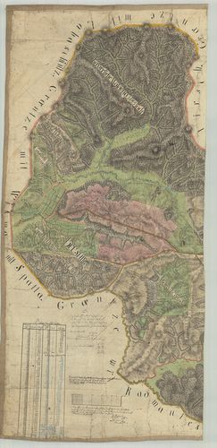
1244. Beiläufige Darstellung des Flusses [S 101 - No. 213.]
National Archives of Hungary •
S 101 Abszolutizmuskori térképek (1849-1867)
•
S Kormányhatósági fondokból kiemelt térképek (17. sz.-20. sz.)
•
S – Térképtár
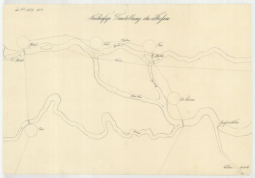
| Main title | Beiläufige Darstellung des Flusses |
| Subject | No. 213. A Hernád folyó Gibart és Szentandrás között |
1245. Situations-Plan des Rothen Thurm Passes im Grossiürsteuthum ... [B IX a 1291]
Institute and Museum of Military History •
B IX a
•
B IX Ausztria–Magyarország
•
B I–XV. Európa
| Title | Situations-Plan des Rothen Thurm Passes im Grossiürsteuthum Siebenbürgen. |
| Main title | Az erdélyi Vöröstorony-hágó térképe. |
1246. Plan des Dorffes Brusnik ... [S 1 - No. 53.]
National Archives of Hungary •
S 1 Térképek (1769-1857)
•
S Königliche kameralische Mappirungs-Direction (1750-1871)
•
S – Térképtár
| Main title | Plan des Dorffes Brusnik ... |
| Subject | No. 53. Marosborosznok (Krassó-Szörény m., ma Bruznic, RO) |
1247. Mappe des Hotters Vullaria und der - in demselben liegenden ... [TK 928]
National Széchényi Library •
OSZK kéziratos térképek
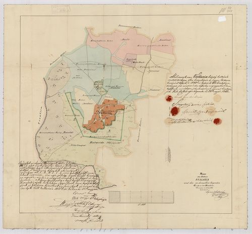
| Title | Mappe des Hotters Vullaria und der - in demselben liegenden Gemein-Weiden : Vermessen im Jahre 1842 |
1248. Grundriss des Pottendorfer Schulhauses, alten Tracht [T 2 No 1176]
National Archives of Hungary •
T 2 Esterházy család (hercegi) (1659-1939)
•
T Családi fondokból kiemelt tervek (1659-2000)
•
T – Tervtár
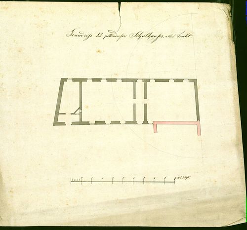
| Main title | Grundriss des Pottendorfer Schulhauses, alten Tracht |
| Subject | No 1176 A pottendorfi iskola régi szárnya |
1249. Uebersichtskarte des Königreiches Bayern… Terrain Karte. [B IV a 433]
Institute and Museum of Military History •
B IV a
•
B IV Német birodalom
•
B I–XV. Európa
| Title | Uebersichtskarte des Königreiches Bayern… Terrain Karte. |
| Main title | A Bajor Királyság topográfiai térképe (síkrajz) 1853-ban. |
1250. Allgemeine Ubersicht des nordwestlichen Kriegsschauplatzes. [B IV c 211]
Institute and Museum of Military History •
B IV c
•
B IV Német birodalom
•
B I–XV. Európa
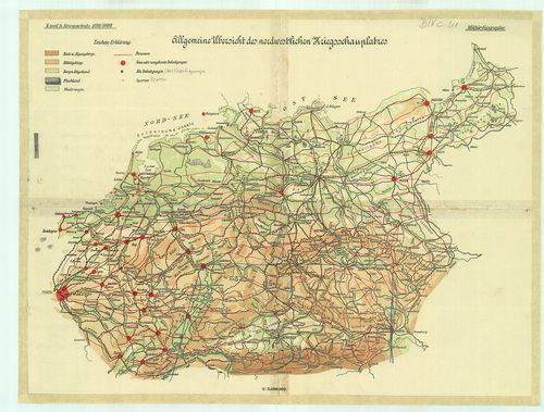
| Title | Allgemeine Ubersicht des nordwestlichen Kriegsschauplatzes. |
| Main title | Az európai ÉNY-i hadszíntér áttekintőtérképe 1899/1890-ben. |
1251. Karte des ungarischen Communikations-Netzes. [B IX c 626]
Institute and Museum of Military History •
B IX c
•
B IX Ausztria–Magyarország
•
B I–XV. Európa
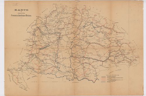
| Title | Karte des ungarischen Communikations-Netzes. |
| Main title | Magyarország közlekedési hálózatának (vasút- és út) térképe 1900 körül. |
1252. Charte des Lombardisch-Venetianischen Koenigreichs. 20. [B VII a 57/2]
Institute and Museum of Military History •
B VII a
•
B VII Olaszország
•
B I–XV. Európa
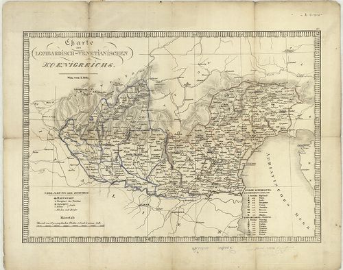
| Title | Charte des Lombardisch-Venetianischen Koenigreichs. 20. |
| Main title | A Lombard-Velencei Királyság térképe a 19. században. |
1253. Mapper des zur Herrschaft Nagy-Szöllős gehörigen Somlyoer We... [VeML XV 11 a T 594]
Veszprém County Archives •
Veszprém megye kéziratos térképei
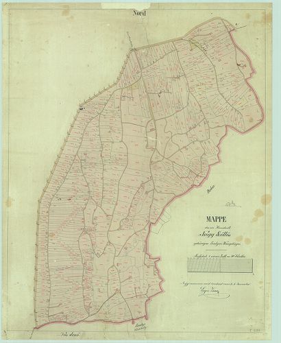
| Main title | Mapper des zur Herrschaft Nagy-Szöllős gehörigen Somlyoer Weingebirges |
| Subject | a Somló szöllősi része |
1254. Umlegung des Teufelgrabens [Budapest térképeinek katalógusa 1197]
Budapest City Archives •
Pest
•
Az 1873 előtti időszakra vonatkozó térképek leírása
•
Budapest térképeinek katalógusa
| Main title | Umlegung des Teufelgrabens |
| Subject | Az újpesti kikötőnél lévő Ördög-árok egy szakaszának szabályozási terve |
1255. Broullion des K. Kameral Terrains Pankota [S 11 - No. 820:6.]
National Archives of Hungary •
S 11 Kamarai térképek (1747-1882)
•
S Kormányhatósági fondokból kiemelt térképek (17. sz.-20. sz.)
•
S – Térképtár
| Main title | Broullion des K. Kameral Terrains Pankota |
| Subject | No. 820:6. Pankota külterületének mezőgazdasági térképe |
1256. Skizze des Donauufers bei Neu-Szőny [S 101 - No. 295.]
National Archives of Hungary •
S 101 Abszolutizmuskori térképek (1849-1867)
•
S Kormányhatósági fondokból kiemelt térképek (17. sz.-20. sz.)
•
S – Térképtár
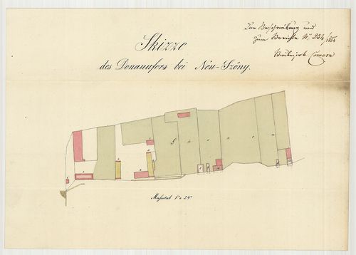
| Main title | Skizze des Donauufers bei Neu-Szőny |
| Subject | No. 295. Újszőny (Komárom m.) egy része |
1257. Geometrischer Grundriß des Christlichen Gränitzlaufes Tapolt... [T 2 No 1055]
National Archives of Hungary •
T 2 Esterházy család (hercegi) (1659-1939)
•
T Családi fondokból kiemelt tervek (1659-2000)
•
T – Tervtár
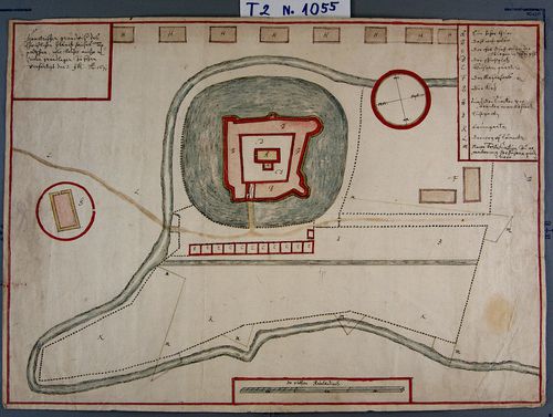
| Main title | Geometrischer Grundriß des Christlichen Gränitzlaufes Tapoltschan … |
| Subject | No 1055 A kistapolcsányi (Bars m.) vár |
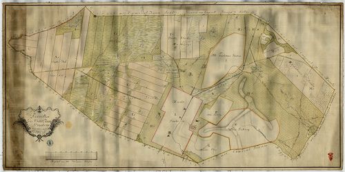
1258. Ein Theil der Puszta Attya des Johann von Somogyi… [VeML XV 11 a T 465]
Veszprém County Archives •
Veszprém megye kéziratos térképei
| Main title | Ein Theil der Puszta Attya des Johann von Somogyi… |
| Subject | Pápakovácsi DK-i részén |
1259. Forstcarte des Olaszfaluer Revirs [VeML XV 11 a T 085]
Veszprém County Archives •
Veszprém megye kéziratos térképei
| Main title | Forstcarte des Olaszfaluer Revirs |
| Subject | a mai Olaszfalu D-i része, Pere nélkül, Eplénnyel |
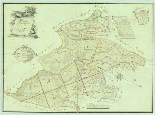
1260. Specialkarte des Königreiches Ungarn. 3 album. [B IX a 531/4]
Institute and Museum of Military History •
B IX a
•
B IX Ausztria–Magyarország
•
B I–XV. Európa
| Title | Specialkarte des Königreiches Ungarn. 3 album. |
| Main title | Magyarország részletes térképe a II. katonai felmérés alapján.. |